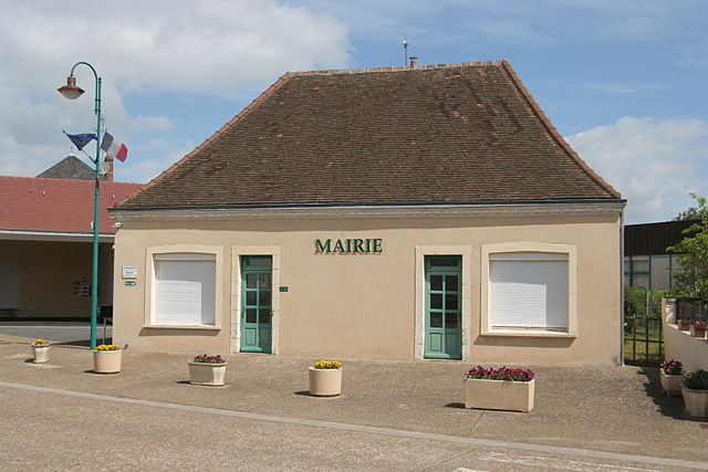
Savigné-l'Évêque (Savigné-l'Évêque)
- commune in Sarthe, France
- Country:

- Postal Code: 72460
- Coordinates: 48° 4' 35" N, 0° 17' 49" E


- GPS tracks (wikiloc): [Link]
- Area: 28.48 sq km
- Population: 4018
- Web site: http://www.savigneleveque.com
- Wikipedia en: wiki(en)
- Wikipedia: wiki(fr)
- Wikidata storage: Wikidata: Q1226067
- Wikipedia Commons Category: [Link]
- Freebase ID: [/m/03qj0xf]
- GeoNames ID: Alt: [6442733]
- SIREN number: [217203298]
- BnF ID: [15273881d]
- WOEID: [12661619]
- INSEE municipality code: 72329
Shares border with regions:


Beaufay
- commune in Sarthe, France
- Country:

- Postal Code: 72110
- Coordinates: 48° 8' 49" N, 0° 21' 44" E


- GPS tracks (wikiloc): [Link]
- Area: 23.87 sq km
- Population: 1474
- Web site: [Link]


Sargé-lès-le-Mans
- commune in Sarthe, France
- Country:

- Postal Code: 72190
- Coordinates: 48° 2' 1" N, 0° 14' 25" E


- GPS tracks (wikiloc): [Link]
- Area: 13.85 sq km
- Population: 3603
- Web site: [Link]


Sillé-le-Philippe
- commune in Sarthe, France
- Country:

- Postal Code: 72460
- Coordinates: 48° 6' 28" N, 0° 21' 8" E


- GPS tracks (wikiloc): [Link]
- Area: 10.6 sq km
- Population: 1095
- Web site: [Link]


Yvré-l'Évêque
- commune in Sarthe, France
- Country:

- Postal Code: 72530
- Coordinates: 48° 0' 52" N, 0° 15' 59" E


- GPS tracks (wikiloc): [Link]
- Area: 27.61 sq km
- Population: 4281
- Web site: [Link]


Courcebœufs
- commune in Sarthe, France
- Country:

- Postal Code: 72290
- Coordinates: 48° 8' 15" N, 0° 17' 15" E


- GPS tracks (wikiloc): [Link]
- Area: 16.83 sq km
- Population: 634


Joué-l'Abbé
- commune in Sarthe, France
- Country:

- Postal Code: 72380
- Coordinates: 48° 6' 37" N, 0° 13' 2" E


- GPS tracks (wikiloc): [Link]
- Area: 10.39 sq km
- Population: 1296
- Web site: [Link]


Neuville-sur-Sarthe
- commune in Sarthe, France
- Country:

- Postal Code: 72190
- Coordinates: 48° 4' 33" N, 0° 11' 27" E


- GPS tracks (wikiloc): [Link]
- Area: 22.94 sq km
- Population: 2396
- Web site: [Link]


Saint-Corneille
- commune in Sarthe, France
- Country:

- Postal Code: 72460
- Coordinates: 48° 3' 59" N, 0° 20' 32" E


- GPS tracks (wikiloc): [Link]
- Area: 11.16 sq km
- Population: 1377
