Villefranche-d'Allier (Villefranche-d'Allier)
- commune in Allier, France
- Country:

- Postal Code: 03430
- Coordinates: 46° 23' 47" N, 2° 51' 26" E


- GPS tracks (wikiloc): [Link]
- Area: 39.63 sq km
- Population: 1353
- Web site: http://www.villefranchedallier.fr
- Wikipedia en: wiki(en)
- Wikipedia: wiki(fr)
- Wikidata storage: Wikidata: Q865772
- Wikipedia Commons Category: [Link]
- Freebase ID: [/m/03m7vlr]
- Freebase ID: [/m/03m7vlr]
- GeoNames ID: Alt: [6425513]
- GeoNames ID: Alt: [6425513]
- SIREN number: [210303152]
- SIREN number: [210303152]
- VIAF ID: Alt: [235216513]
- VIAF ID: Alt: [235216513]
- INSEE municipality code: 03315
- INSEE municipality code: 03315
Shares border with regions:

Doyet
- commune in Allier, France
- Country:
- Postal Code: 03170
- Coordinates: 46° 20' 8" N, 2° 47' 50" E
- GPS tracks (wikiloc): [Link]
- Area: 27.58 sq km
- Population: 1203
- Web site: [Link]

Murat
- commune in Allier, France
- Country:
- Postal Code: 03390
- Coordinates: 46° 24' 9" N, 2° 54' 40" E
- GPS tracks (wikiloc): [Link]
- Area: 20.07 sq km
- Population: 295

Sauvagny
- commune in Allier, France
- Country:
- Postal Code: 03430
- Coordinates: 46° 26' 41" N, 2° 49' 12" E
- GPS tracks (wikiloc): [Link]
- Area: 19.41 sq km
- Population: 95
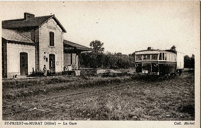
Saint-Priest-en-Murat
- commune in Allier, France
- Country:
- Postal Code: 03390
- Coordinates: 46° 20' 58" N, 2° 54' 44" E
- GPS tracks (wikiloc): [Link]
- Area: 25.48 sq km
- Population: 221

Deneuille-les-Mines
- commune in Allier, France
- Country:
- Postal Code: 03170
- Coordinates: 46° 22' 43" N, 2° 46' 56" E
- GPS tracks (wikiloc): [Link]
- Area: 24.88 sq km
- Population: 363

Bézenet
- commune in Allier, France
- Country:
- Postal Code: 03170
- Coordinates: 46° 19' 44" N, 2° 50' 42" E
- GPS tracks (wikiloc): [Link]
- Area: 9.94 sq km
- Population: 1000

Tortezais
- commune in Allier, France
- Country:
- Postal Code: 03430
- Coordinates: 46° 27' 9" N, 2° 51' 28" E
- GPS tracks (wikiloc): [Link]
- Area: 24.11 sq km
- Population: 177