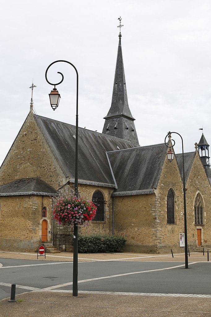
Yvré-l'Évêque (Yvré-l'Évêque)

- commune in Sarthe, France
- Country:

- Postal Code: 72530
- Coordinates: 48° 0' 52" N, 0° 15' 59" E


- GPS tracks (wikiloc): [Link]
- Area: 27.61 sq km
- Population: 4281
- Web site: http://www.ville-yvreleveque.fr
- Wikipedia en: wiki(en)
- Wikipedia: wiki(fr)
- Wikidata storage: Wikidata: Q1234022
- Wikipedia Commons Category: [Link]
- Freebase ID: [/m/03qj283]
- GeoNames ID: Alt: [2967174]
- SIREN number: [217203868]
- BnF ID: [15273936v]
- VIAF ID: Alt: [141503965]
- Library of Congress authority ID: Alt: [n82125456]
- MusicBrainz area ID: [f73f0f26-5170-4e8a-9256-3febc58601b3]
- WOEID: [633084]
- ISNI: Alt: [0000 0001 2207 4949]
- INSEE municipality code: 72386
Shares border with regions:

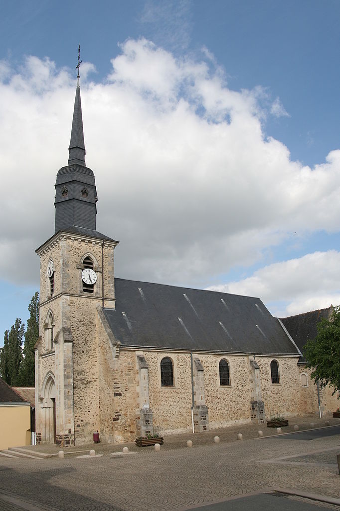
Savigné-l'Évêque
- commune in Sarthe, France
- Country:
- Postal Code: 72460
- Coordinates: 48° 4' 35" N, 0° 17' 49" E
- GPS tracks (wikiloc): [Link]
- Area: 28.48 sq km
- Population: 4018
- Web site: [Link]


Sargé-lès-le-Mans
- commune in Sarthe, France
- Country:
- Postal Code: 72190
- Coordinates: 48° 2' 1" N, 0° 14' 25" E
- GPS tracks (wikiloc): [Link]
- Area: 13.85 sq km
- Population: 3603
- Web site: [Link]


Fatines
- commune in Sarthe, France
- Country:
- Postal Code: 72470
- Coordinates: 48° 2' 46" N, 0° 20' 52" E
- GPS tracks (wikiloc): [Link]
- Area: 5.44 sq km
- Population: 836
- Web site: [Link]

Le Mans
- commune in Sarthe, France
- Country:
- Postal Code: 72100; 72000
- Coordinates: 48° 0' 15" N, 0° 11' 49" E
- GPS tracks (wikiloc): [Link]
- AboveSeaLevel: 51 м m
- Area: 52.81 sq km
- Population: 143325
- Web site: [Link]

Champagné, Sarthe
- commune in Sarthe, France
- Country:
- Postal Code: 72470
- Coordinates: 48° 1' 22" N, 0° 19' 58" E
- GPS tracks (wikiloc): [Link]
- Area: 13.94 sq km
- Population: 3840
- Web site: [Link]


Saint-Corneille
- commune in Sarthe, France
- Country:
- Postal Code: 72460
- Coordinates: 48° 3' 59" N, 0° 20' 32" E
- GPS tracks (wikiloc): [Link]
- Area: 11.16 sq km
- Population: 1377


Changé, Sarthe
- commune in Sarthe, France
- Country:
- Postal Code: 72560
- Coordinates: 47° 59' 16" N, 0° 16' 55" E
- GPS tracks (wikiloc): [Link]
- Area: 35.06 sq km
- Population: 6446
- Web site: [Link]