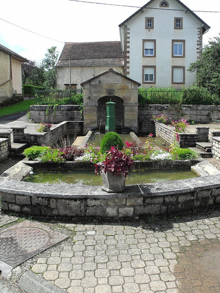
Échenans (Échenans)

- коммуна во Франции
 Hiking in Échenans
Échenans is a small commune in the Bourgogne-Franche-Comté region of France, located near the city of Montbéliard. While Échenans itself may not be widely recognized as a major hiking destination, the surrounding areas offer opportunities for hiking enthusiasts.
Hiking Opportunities Near Échenans
-
Scenic Trails: The region is characterized by charming landscapes, including rolling hills, forests, and meadows. You can find various trails that cater to different skill levels, from easy walks to more challenging hikes.
-
Montbéliard: Just a short drive from Échenans, Montbéliard offers additional hiking opportunities, with trails that lead to panoramic views of the town and the surrounding countryside.
-
Nature Reserves: Explore nearby nature reserves, such as the Parc Naturel Régional des Ballons des Vosges, which is a bit farther but offers stunning alpine hikes, diverse flora and fauna, and scenic viewpoints.
-
Local Footpaths: Look for local footpaths and hiking routes that may not be well-publicized but offer beautiful insights into the regional landscape and culture. The terrain is generally friendly for casual hikes, making it perfect for families and groups.
Tips for Hiking in Échenans
- Weather Check: Always check the weather before heading out, as conditions can change quickly in hilly areas.
- Hiking Gear: Wear appropriate hiking shoes and clothing, and consider bringing a map or using a hiking app on your phone to navigate.
- Stay Hydrated: Bring adequate water and snacks, especially if you plan to hike for several hours.
- Respect Nature: Follow Leave No Trace principles to protect the local environment and wildlife.
If you’re looking for guided hikes or specific trails, consider reaching out to local hiking clubs or tourism offices for more detailed information. Enjoy your hiking experience in and around Échenans!
- Страна:

- Почтовый код: 25550
- Координаты: 47° 31' 34" N, 6° 41' 43" E


- GPS треки (wikiloc): [Ссылка]
- Высота над уровнем моря: 345 м m
- Площадь: 1.7 кв.км
- Население: 155
- Википедия английская: wiki(en)
- Википедия национальная: wiki(fr)
- Хранилище Wikidata: Wikidata: Q273355
- Катеория в википедии: [Ссылка]
- код Freebase: [/m/03mh7qm]
- код Freebase: [/m/03mh7qm]
- код GeoNames: Альт: [6616212]
- код GeoNames: Альт: [6616212]
- номер SIREN: [212502108]
- номер SIREN: [212502108]
- код муниципалитета INSEE: 25210
- код муниципалитета INSEE: 25210
Граничит с регионами:


Raynans
- коммуна во Франции
Hiking in Raynans
Raynans is a small village in the Jura department of eastern France, known for its picturesque landscapes and proximity to the Jura mountain range. Hiking in this region offers a variety of trails suitable for different skill levels, and provides a chance to experience the beauty of nature, including lush forests, rolling hills, and scenic viewpoints....
- Страна:
- Почтовый код: 25550
- Координаты: 47° 31' 59" N, 6° 43' 8" E
- GPS треки (wikiloc): [Ссылка]
- Площадь: 4.03 кв.км
- Население: 343

Semondans
- коммуна во Франции
Hiking in Semondans
Semondans is a small commune in the Doubs department in the Bourgogne-Franche-Comté region of eastern France. While it may not be as widely known for hiking as some larger national parks or mountainous regions, there are still opportunities for outdoor activities in the surrounding area....
- Страна:
- Почтовый код: 25750
- Координаты: 47° 32' 34" N, 6° 41' 35" E
- GPS треки (wikiloc): [Ссылка]
- Площадь: 2.77 кв.км
- Население: 298


Saint-Julien-lès-Montbéliard
- коммуна во Франции
Hiking in Saint-Julien-lès-Montbéliard
Saint-Julien-lès-Montbéliard is a charming commune located in the Bourgogne-Franche-Comté region of France, near the town of Montbéliard. The area is characterized by its beautiful natural landscapes, hills, and forests, making it a great destination for hiking enthusiasts....
- Страна:
- Почтовый код: 25550
- Координаты: 47° 31' 20" N, 6° 42' 38" E
- GPS треки (wikiloc): [Ссылка]
- Площадь: 3.81 кв.км
- Население: 168