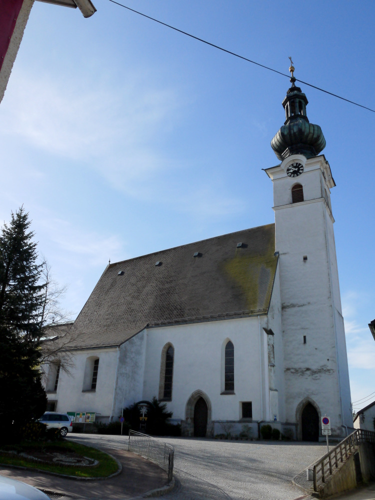
Ампфльванг-им-Хаусрукквальд (Ampflwang im Hausruckwald, Ampflwang im Hausruckwald)

- политическая община в Австрии
 Hiking in Ампфльванг-им-Хаусрукквальд
Ampflwang im Hausruckwald is a beautiful destination for hiking enthusiasts, situated in the Upper Austria region of Austria. The area is known for its lush forests, rolling hills, and scenic landscapes that are ideal for outdoor activities, including hiking.
Trails and Routes
-
Hausruckwald Nature Park: The region is home to the Hausruckwald Nature Park, which offers a variety of well-marked trails ranging in difficulty—from easy walks suitable for families to more challenging hikes for experienced trekkers.
-
Mühlviertel Hiking Trails: Several trails pass through Ampflwang, including portions of the Mühlviertel hiking routes. These trails often feature stunning panoramic views of the surrounding countryside.
-
Local Signposted Trails: Look for local maps or trail signs that guide you through the various hiking routes. Some notable paths might lead to scenic viewpoints, historic sites, or through charming villages.
Weather and Best Time to Hike
- Season: Spring through early autumn (April to October) is best for hiking, as the weather is generally mild.
- Weather: Always check the local weather forecasts before heading out, as conditions can change rapidly in mountainous areas.
Things to Keep in Mind
- Equipment: Wear sturdy hiking shoes and bring essentials like water, snacks, a map, and a first aid kit.
- Wildlife: Keep an eye out for local wildlife, and make sure to respect their natural habitats.
- Cultural Experience: The region is rich in cultural heritage, so consider exploring local villages and learning about the area’s history alongside your hikes.
Additional Activities
Apart from hiking, visitors to Ampflwang im Hausruckwald can enjoy other outdoor activities such as cycling, horseback riding, and visiting nearby lakes for swimming or picnicking.
Overall, Ampflwang im Hausruckwald provides a fantastic opportunity for hikers of all levels to immerse themselves in nature while enjoying the serene beauty of this region in Austria.
- Страна:

- Почтовый код: 4843
- Телефонный код: 07675
- Код автомобильного номера: VB
- Координаты: 48° 5' 34" N, 13° 34' 0" E


- GPS треки (wikiloc): [Ссылка]
- Высота над уровнем моря: 566 м m
- Площадь: 21 кв.км
- Население: 3376
- Веб сайт: http://www.ampflwang.at/
- Википедия русская: wiki(ru)
- Википедия английская: wiki(en)
- Википедия национальная: wiki(de)
- Хранилище Wikidata: Wikidata: Q474607
- Катеория в википедии: [Ссылка]
- код Freebase: [/m/03gvdy0]
- код GeoNames: Альт: [7872156]
- код VIAF: Альт: [246936804]
- идентификатор местоположения ArchINFORM: [15688]
- код австрийского муниципалитета: [41701]
Граничит с регионами:

Целль-на-Петтенфирсте
Hiking in Целль-на-Петтенфирсте
Hiking in Zell am Pettenfirst, located in the Salzkammergut region of Austria, offers breathtaking views and a variety of trails suitable for different skill levels. The area is characterized by its picturesque landscapes, including rolling hills, lush woods, and stunning mountain vistas....
- Страна:
- Почтовый код: 4842
- Телефонный код: 07675
- Код автомобильного номера: VB
- Координаты: 48° 4' 42" N, 13° 36' 0" E
- GPS треки (wikiloc): [Ссылка]
- Высота над уровнем моря: 550 м m
- Площадь: 14 кв.км
- Население: 1236
- Веб сайт: [Ссылка]


Отнанг-на-Хаусруке
Hiking in Отнанг-на-Хаусруке
Ottnang am Hausruck, located in the Upper Austria region, is a picturesque village surrounded by beautiful natural landscapes, making it a great destination for hiking enthusiasts. The Hausruckwald region, where Ottnang is situated, features rolling hills, forests, and charming meadows that provide a variety of trails for different skill levels....
- Страна:
- Почтовый код: 4901
- Телефонный код: 07676
- Код автомобильного номера: VB
- Координаты: 48° 5' 44" N, 13° 39' 41" E
- GPS треки (wikiloc): [Ссылка]
- Высота над уровнем моря: 554 м m
- Площадь: 30 кв.км
- Население: 3990
- Веб сайт: [Ссылка]
Франкенбург-на-Хаусруке
Hiking in Франкенбург-на-Хаусруке
Frankenburg am Hausruck, located in Austria's Upper Austria region, is an excellent destination for hiking enthusiasts. The area is characterized by stunning natural landscapes, rolling hills, and picturesque views of the Hausruck mountain range. Here are some key highlights and tips for hiking in this region:...
- Страна:
- Почтовый код: 4873
- Телефонный код: 07683
- Код автомобильного номера: VB
- Координаты: 48° 4' 6" N, 13° 29' 31" E
- GPS треки (wikiloc): [Ссылка]
- Высота над уровнем моря: 519 м m
- Площадь: 49 кв.км
- Население: 4842
- Веб сайт: [Ссылка]
Пухкирхен-на-Тратберге
Hiking in Пухкирхен-на-Тратберге
Puchkirchen am Trattberg is a picturesque area in Austria, nestled in the Salzkammergut region, which offers excellent opportunities for hiking and enjoying nature. Here are some key aspects of hiking in this region:...
- Страна:
- Почтовый код: 4849
- Телефонный код: 07682
- Код автомобильного номера: VB
- Координаты: 48° 3' 41" N, 13° 34' 27" E
- GPS треки (wikiloc): [Ссылка]
- Высота над уровнем моря: 558 м m
- Площадь: 8 кв.км
- Население: 1036
- Веб сайт: [Ссылка]

Нойкирхен-ан-дер-Фёкла
Hiking in Нойкирхен-ан-дер-Фёкла
Neukirchen an der Vöckla is a picturesque village located in Upper Austria, and it offers a variety of hiking opportunities for those looking to explore the natural beauty of the region. Here are some aspects to consider when hiking in this area:...
- Страна:
- Почтовый код: 4872
- Телефонный код: 07682
- Код автомобильного номера: VB
- Координаты: 48° 2' 28" N, 13° 32' 18" E
- GPS треки (wikiloc): [Ссылка]
- Высота над уровнем моря: 516 м m
- Площадь: 24 кв.км
- Население: 2559
- Веб сайт: [Ссылка]

Эбершванг
Hiking in Эбершванг
Eberschwang, a charming municipality in the Upper Austria region, offers some picturesque hiking opportunities. The area features scenic landscapes, lush forests, and rolling hills that make it an attractive destination for outdoor enthusiasts. Here are some highlights of hiking in and around Eberschwang:...
- Страна:
- Почтовый код: 4906
- Телефонный код: 07753
- Код автомобильного номера: RI
- Координаты: 48° 9' 25" N, 13° 33' 37" E
- GPS треки (wikiloc): [Ссылка]
- Высота над уровнем моря: 529 м m
- Площадь: 40.4 кв.км
- Население: 3351
- Веб сайт: [Ссылка]