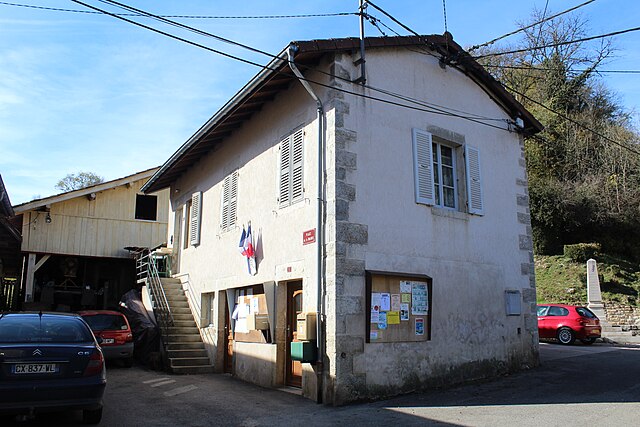
Dramelay (Dramelay)

- коммуна во Франции
 Hiking in Dramelay
Dramelay is a lesser-known hiking destination that offers beautiful trails and a chance to immerse yourself in nature. If you're planning to hike in this area, here are some things you should know:
Trails
- Diversity of Trails: Dramelay typically features a variety of trails that cater to different skill levels, from beginner-friendly paths to more challenging routes. Research the trails in advance to choose one that suits your experience and fitness level.
- Scenic Views: Many trails in Dramelay may offer stunning views of the surrounding landscape, including forests, mountains, and possibly lakes or rivers.
- Trail Conditions: Always check the trail conditions before heading out, as weather can impact accessibility. Trails may vary in maintenance, so be prepared for different terrain.
Preparation
- Packing Essentials: Ensure you have proper hiking gear, including sturdy boots, appropriate clothing, a backpack with water, snacks, a map or GPS, and a first-aid kit.
- Weather Awareness: Check the weather forecast prior to your hike. Conditions can change rapidly in mountainous or forested areas.
- Leave No Trace: Practice Leave No Trace principles to minimize your impact on the environment. This includes packing out all trash, staying on marked trails, and respecting wildlife.
Safety
- Hiking Alone vs. Group: Consider hiking with a group, especially if you're unfamiliar with the area. If you do hike alone, make sure someone knows your planned route and return time.
- Wildlife: Be aware of local wildlife, and know how to behave should you encounter any animals.
Local Guidelines
- Permits and Regulations: Check if you need any permits to hike in Dramelay and familiarize yourself with any local regulations.
- Trail Hours: Some trails may have designated hours for hiking; it's best to check beforehand.
Enjoy your hike in Dramelay! It’s a fantastic way to explore nature, get some exercise, and unwind from daily stresses.
- Страна:

- Почтовый код: 39240
- Координаты: 46° 24' 24" N, 5° 32' 10" E


- GPS треки (wikiloc): [Ссылка]
- Площадь: 6.53 кв.км
- Население: 29
- Википедия английская: wiki(en)
- Википедия национальная: wiki(fr)
- Хранилище Wikidata: Wikidata: Q633384
- Катеория в википедии: [Ссылка]
- код Freebase: [/m/0dvm23]
- код GeoNames: Альт: [6433546]
- номер SIREN: [213902042]
- код BNF: [152585685]
- код муниципалитета INSEE: 39204
Граничит с регионами:


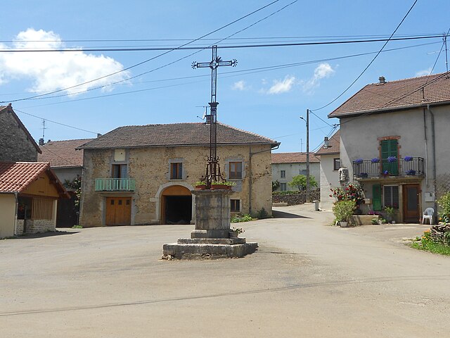
La Boissière
Hiking in La Boissière
La Boissière, located in the Jura region of France, offers a charming and scenic hiking experience. The Jura Mountains are known for their stunning landscapes, rich biodiversity, and a variety of trails suitable for all levels of hikers. Here are some highlights and tips for hiking in La Boissière:...
- Страна:
- Почтовый код: 39240
- Координаты: 46° 25' 21" N, 5° 31' 51" E
- GPS треки (wikiloc): [Ссылка]
- Площадь: 5.36 кв.км
- Население: 65

Valfin-sur-Valouse
- коммуна во Франции
Hiking in Valfin-sur-Valouse
Valfin-sur-Valouse is a charming village located in the Jura region of France, known for its stunning natural landscapes and outdoor activities, including hiking. The area features lush forests, rolling hills, and beautiful views of the surrounding countryside, making it an ideal destination for hikers of all skill levels....
- Страна:
- Почтовый код: 39240
- Координаты: 46° 22' 10" N, 5° 31' 10" E
- GPS треки (wikiloc): [Ссылка]
- Площадь: 8.67 кв.км
- Население: 82


Lains
- коммуна во Франции
Hiking in Lains
Lains, often referred to in the context of hiking, may relate to specific areas known for their scenic trails and natural beauty, but it's not clear which specific location you mean. If you are referring to Lainz, which is a district in Vienna, Austria, I can provide details about hiking in that area....
- Страна:
- Почтовый код: 39320
- Координаты: 46° 23' 26" N, 5° 29' 14" E
- GPS треки (wikiloc): [Ссылка]
- Площадь: 9.81 кв.км
- Население: 82

Dessia
- коммуна во Франции
Hiking in Dessia
Dessia, often referred to as a hidden gem for hiking enthusiasts, offers a variety of trails suitable for all levels of hikers. Here’s what you need to know about hiking in this region:...
- Страна:
- Почтовый код: 39320
- Координаты: 46° 23' 6" N, 5° 30' 5" E
- GPS треки (wikiloc): [Ссылка]
- Площадь: 4.64 кв.км
- Население: 62


Аренто
- коммуна во Франции
Hiking in Аренто
Arinthod, located in the Jura department of France, offers a blend of natural beauty and diverse hiking opportunities. The region is characterized by its rolling hills, dense forests, and charming countryside. When hiking in and around Arinthod, you'll find a variety of trails that cater to different skill levels, from leisurely walks to more challenging hikes....
- Страна:
- Почтовый код: 39240
- Координаты: 46° 23' 35" N, 5° 34' 0" E
- GPS треки (wikiloc): [Ссылка]
- Площадь: 19.77 кв.км
- Население: 1092
- Веб сайт: [Ссылка]


Chatonnay
Hiking in Chatonnay
Chatonnay is a commune located in the Isère department in the Auvergne-Rhône-Alpes region of southeastern France. Although it may not be as well-known for hiking as some of its larger neighbors, it offers beautiful landscapes and a more rural experience for hikers looking to explore the region....
- Страна:
- Почтовый код: 39240
- Координаты: 46° 25' 29" N, 5° 32' 40" E
- GPS треки (wikiloc): [Ссылка]
- Площадь: 2.82 кв.км
- Население: 65