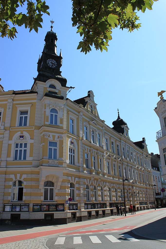
Ойратсфельд (Euratsfeld, Euratsfeld)
- ярмарочная коммуна в Австрии
 Hiking in Ойратсфельд
Euratsfeld, located in Lower Austria, is a picturesque area that offers some great hiking opportunities amidst beautiful landscapes. The region is characterized by rolling hills, lush forests, and scenic countryside, making it an excellent destination for both novice and experienced hikers.
Hiking Trails:
-
Local Trails: Euratsfeld features various marked hiking trails that range in difficulty. The trails often showcase the natural beauty of the area, including views of the surrounding hills and valleys.
-
Panoramic Routes: Some hikes may provide panoramic views of the foothills of the Alps, allowing hikers to appreciate the vastness of the Austrian landscape.
-
Forest Paths: Many trails wind through dense forests, offering shade and the chance to observe local wildlife and flora.
Tips for Hiking in Euratsfeld:
-
Trail Maps: Make sure to grab a local trail map or download a hiking app. Many of the trails are marked, but it's always helpful to have a backup.
-
Seasonal Considerations: The best time for hiking in this area is typically from late spring to early autumn. Winter hiking is possible, but check for snow conditions and ensure you have the right gear.
-
Weather Preparation: Weather in Austria can change rapidly, so dressing in layers and being prepared for rain is essential.
-
Local Amenities: Euratsfeld is a small community, so plan your logistics accordingly. There may be local accommodations, but it’s wise to check beforehand if you’re planning to stay overnight.
-
Safety: Always let someone know your plans before heading out, especially if you're hiking solo. Familiarize yourself with the area's wildlife, and bring sufficient water and snacks.
Exploring Euratsfeld offers a fantastic opportunity to connect with nature and enjoy the tranquility of the Austrian countryside. Always respect nature and follow local guidelines to preserve the area's beauty for future hikers!
- Страна:

- Почтовый код: 3324
- Телефонный код: 07474
- Координаты: 48° 4' 58" N, 14° 55' 57" E


- GPS треки (wikiloc): [Ссылка]
- Высота над уровнем моря: 308 м m
- Площадь: 30.61 кв.км
- Население: 2639
- Веб сайт: http://www.euratsfeld.gv.at/
- Википедия русская: wiki(ru)
- Википедия английская: wiki(en)
- Википедия национальная: wiki(de)
- Хранилище Wikidata: Wikidata: Q673813
- Катеория в википедии: [Ссылка]
- код Freebase: [/m/02qsn_g]
- код GeoNames: Альт: [2779879]
- код VIAF: Альт: [240312391]
- код GND: Альт: [4015689-8]
- код австрийского муниципалитета: [30511]
Граничит с регионами:
Амштеттен
Hiking in Амштеттен
Amstetten, located in Lower Austria, provides a variety of hiking opportunities for outdoor enthusiasts. The region is characterized by its picturesque landscapes, rolling hills, and lush forests, making it an ideal spot for both casual walkers and more experienced hikers....
- Страна:
- Почтовый код: 07472
- Телефонный код: 07472
- Код автомобильного номера: AM
- Координаты: 48° 7' 0" N, 14° 52' 0" E
- GPS треки (wikiloc): [Ссылка]
- Высота над уровнем моря: 275 м m
- Площадь: 52.1 кв.км
- Население: 23656
- Веб сайт: [Ссылка]
Санкт-Георген-на-Ибсфельде
Hiking in Санкт-Георген-на-Ибсфельде
Sankt Georgen am Ybbsfelde, located in Lower Austria, is a charming area that offers a variety of hiking opportunities amidst beautiful landscapes. The region is characterized by rolling hills, lush forests, and scenic views of the surrounding countryside, making it a delightful destination for both casual walkers and more experienced hikers....
- Страна:
- Почтовый код: 3304
- Телефонный код: 07473
- Код автомобильного номера: AM
- Координаты: 48° 7' 46" N, 14° 57' 13" E
- GPS треки (wikiloc): [Ссылка]
- Высота над уровнем моря: 272 м m
- Площадь: 22.83 кв.км
- Население: 2886
- Веб сайт: [Ссылка]
Нойхофен-на-Ибсе
Hiking in Нойхофен-на-Ибсе
Neuhofen an der Ybbs is a charming village situated in Lower Austria, offering beautiful landscapes and a variety of hiking opportunities. The region is characterized by scenic views of the Ybbstaler Alps and picturesque rural landscapes, making it a great destination for outdoor enthusiasts....
- Страна:
- Почтовый код: 3364
- Телефонный код: 07475
- Код автомобильного номера: AM
- Координаты: 48° 3' 24" N, 14° 51' 19" E
- GPS треки (wikiloc): [Ссылка]
- Высота над уровнем моря: 319 м m
- Площадь: 36.41 кв.км
- Население: 2930
- Веб сайт: [Ссылка]
Фершниц
Hiking in Фершниц
Ferschnitz, nestled in Austria, is a delightful destination for hiking enthusiasts. This charming village, located in the picturesque region of Upper Austria, offers a variety of trails that cater to different skill levels, from leisurely walks to more challenging hikes....
- Страна:
- Телефонный код: 07473
- Код автомобильного номера: AM
- Координаты: 48° 5' 38" N, 14° 59' 10" E
- GPS треки (wikiloc): [Ссылка]
- Высота над уровнем моря: 276 м m
- Площадь: 15.55 кв.км
- Население: 1770
- Веб сайт: [Ссылка]
Рандег
Hiking in Рандег
Randegg, a charming area nestled in Austria, offers some wonderful hiking opportunities. The region is characterized by its picturesque landscapes, lush greenery, and relatively serene environment, making it an excellent destination for hikers of all skill levels....
- Страна:
- Почтовый код: 3263
- Телефонный код: 07487
- Код автомобильного номера: SB
- Координаты: 48° 0' 40" N, 14° 58' 22" E
- GPS треки (wikiloc): [Ссылка]
- Высота над уровнем моря: 366 м m
- Площадь: 51.88 кв.км
- Население: 1880
- Веб сайт: [Ссылка]
Ванг
- община в Австрии, Нижняя Австрия, Шайбс
Hiking in Ванг
Wang, Austria, is a delightful destination for hiking enthusiasts, nestled in the scenic landscapes of the Tyrolean region. While it may not be as widely known as some other hiking hotspots in Austria, it offers a charming experience with a mix of beautiful trails, breathtaking views, and lush natural surroundings....
- Страна:
- Почтовый код: 3262
- Телефонный код: 07488
- Код автомобильного номера: SB
- Координаты: 48° 2' 40" N, 15° 1' 30" E
- GPS треки (wikiloc): [Ссылка]
- Высота над уровнем моря: 323 м m
- Площадь: 19.67 кв.км
- Население: 1355
- Веб сайт: [Ссылка]