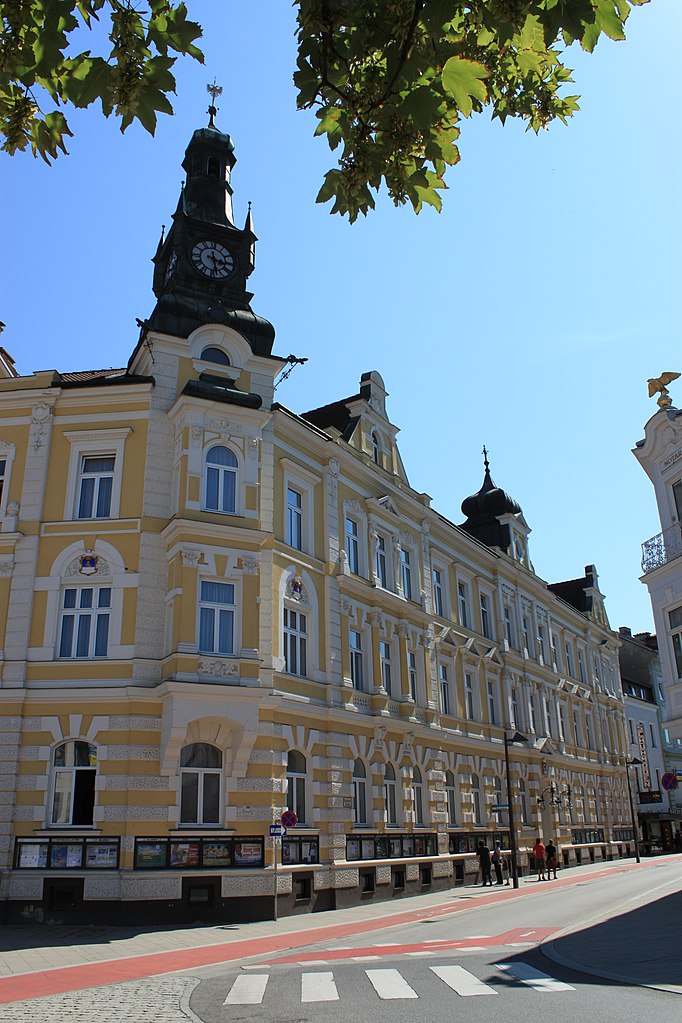
Санкт-Георген-на-Ибсфельде (Sankt Georgen am Ybbsfelde, St. Georgen am Ybbsfelde)

 Hiking in Санкт-Георген-на-Ибсфельде
Sankt Georgen am Ybbsfelde, located in Lower Austria, is a charming area that offers a variety of hiking opportunities amidst beautiful landscapes. The region is characterized by rolling hills, lush forests, and scenic views of the surrounding countryside, making it a delightful destination for both casual walkers and more experienced hikers.
Hiking Trails
-
Local Trails: There are various marked trails around Sankt Georgen that range in difficulty. These trails often take you through picturesque farmland, woodlands, and along the Ybbs River, providing opportunities for birdwatching and enjoying local flora and fauna.
-
Alpenvorland: The area is part of the Alpine foothills, so you can find trails that lead to higher elevations. These hikes may offer more challenging terrain and spectacular views of the Alps, especially on clear days.
-
The Ybbs River Trail: This is a more extended trail that follows the Ybbs River and offers a relatively flat route, suitable for families and casual hikers. It's a great way to experience the natural beauty of the region while enjoying a leisurely walk.
Tips for Hiking in Sankt Georgen am Ybbsfelde
-
Check Trail Conditions: Before heading out, check local information for trail conditions and any advisories, especially after rain or snow.
-
Prepare for Weather Changes: The weather can change quickly in the region, so dress in layers and bring waterproof gear if necessary.
-
Bring Essential Gear: Always carry water, snacks, a map or GPS, and a first aid kit. Hiking boots with good grip are essential, especially on uneven terrain.
-
Respect Nature: Follow Leave No Trace principles—take all your trash with you, stay on marked trails, and respect wildlife.
-
Local Information: Visiting the local tourism office can provide additional trail maps, tips, and recommendations for guided hikes.
Additional Activities
Aside from hiking, the area around Sankt Georgen am Ybbsfelde offers opportunities for mountain biking, picnicking, and exploring local culture. You can also find charming villages nearby where you can enjoy traditional Austrian cuisine after a long hike.
Sankt Georgen am Ybbsfelde is a wonderful spot for nature lovers and outdoor enthusiasts, providing a peaceful retreat with ample hiking opportunities. Enjoy your adventure!
- Страна:

- Почтовый код: 3304
- Телефонный код: 07473
- Код автомобильного номера: AM
- Координаты: 48° 7' 46" N, 14° 57' 13" E


- GPS треки (wikiloc): [Ссылка]
- Высота над уровнем моря: 272 м m
- Площадь: 22.83 кв.км
- Население: 2886
- Веб сайт: http://www.st-georgen-ybbsfelde.gv.at/
- Википедия русская: wiki(ru)
- Википедия английская: wiki(en)
- Википедия национальная: wiki(de)
- Хранилище Wikidata: Wikidata: Q580642
- Катеория в википедии: [Ссылка]
- код Freebase: [/m/02qsqbf]
- код GeoNames: Альт: [7871696]
- код VIAF: Альт: [243885858]
- код австрийского муниципалитета: [30527]
Граничит с регионами:
Амштеттен
Hiking in Амштеттен
Amstetten, located in Lower Austria, provides a variety of hiking opportunities for outdoor enthusiasts. The region is characterized by its picturesque landscapes, rolling hills, and lush forests, making it an ideal spot for both casual walkers and more experienced hikers....
- Страна:
- Почтовый код: 07472
- Телефонный код: 07472
- Код автомобильного номера: AM
- Координаты: 48° 7' 0" N, 14° 52' 0" E
- GPS треки (wikiloc): [Ссылка]
- Высота над уровнем моря: 275 м m
- Площадь: 52.1 кв.км
- Население: 23656
- Веб сайт: [Ссылка]
Нойштадтль-на-Дунае
Hiking in Нойштадтль-на-Дунае
Neustadtl an der Donau is a charming town located in the Austrian state of Upper Austria, situated along the Danube River. Hiking in this area offers a blend of scenic views, historical landmarks, and lush countryside. Here are some key points to consider when hiking around Neustadtl an der Donau:...
- Страна:
- Почтовый код: 3323
- Телефонный код: 07471
- Код автомобильного номера: AM
- Координаты: 48° 11' 36" N, 14° 54' 10" E
- GPS треки (wikiloc): [Ссылка]
- Высота над уровнем моря: 507 м m
- Площадь: 47.89 кв.км
- Население: 2143
- Веб сайт: [Ссылка]

Блинденмаркт
Hiking in Блинденмаркт
Blindenmarkt, located in Austria, is a charming small town surrounded by picturesque landscapes that are ideal for hiking enthusiasts. The region offers a variety of trails that cater to different skill levels, from leisurely walks to more challenging hikes....
- Страна:
- Почтовый код: 3372
- Телефонный код: 07473
- Код автомобильного номера: ME
- Координаты: 48° 7' 43" N, 14° 59' 21" E
- GPS треки (wikiloc): [Ссылка]
- Высота над уровнем моря: 246 м m
- Площадь: 17.05 кв.км
- Население: 2712
- Веб сайт: [Ссылка]
Ойратсфельд
- ярмарочная коммуна в Австрии
Hiking in Ойратсфельд
Euratsfeld, located in Lower Austria, is a picturesque area that offers some great hiking opportunities amidst beautiful landscapes. The region is characterized by rolling hills, lush forests, and scenic countryside, making it an excellent destination for both novice and experienced hikers....
- Страна:
- Почтовый код: 3324
- Телефонный код: 07474
- Координаты: 48° 4' 58" N, 14° 55' 57" E
- GPS треки (wikiloc): [Ссылка]
- Высота над уровнем моря: 308 м m
- Площадь: 30.61 кв.км
- Население: 2639
- Веб сайт: [Ссылка]
Фидорф
Hiking in Фидорф
Viehdorf, a picturesque village located in Lower Austria, is surrounded by beautiful landscapes and offers a variety of hiking opportunities. The area is characterized by rolling hills, lush forests, and scenic views, making it ideal for nature lovers and outdoor enthusiasts....
- Страна:
- Почтовый код: 3322
- Телефонный код: 07472
- Код автомобильного номера: AM
- Координаты: 48° 8' 59" N, 14° 53' 36" E
- GPS треки (wikiloc): [Ссылка]
- Высота над уровнем моря: 359 м m
- Площадь: 15.85 кв.км
- Население: 1372
- Веб сайт: [Ссылка]
Фершниц
Hiking in Фершниц
Ferschnitz, nestled in Austria, is a delightful destination for hiking enthusiasts. This charming village, located in the picturesque region of Upper Austria, offers a variety of trails that cater to different skill levels, from leisurely walks to more challenging hikes....
- Страна:
- Телефонный код: 07473
- Код автомобильного номера: AM
- Координаты: 48° 5' 38" N, 14° 59' 10" E
- GPS треки (wikiloc): [Ссылка]
- Высота над уровнем моря: 276 м m
- Площадь: 15.55 кв.км
- Население: 1770
- Веб сайт: [Ссылка]