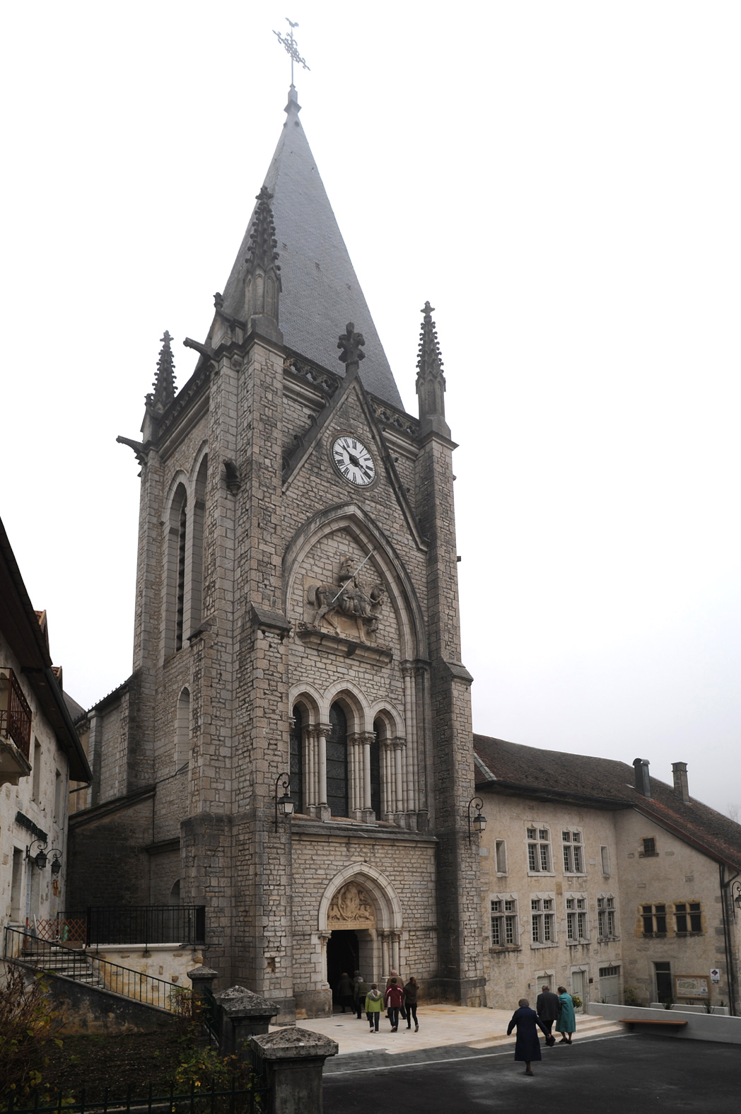
La Longeville (La Longeville)

- коммуна во Франции
 Hiking in La Longeville
La Longeville is a picturesque area that offers wonderful hiking opportunities, often characterized by its beautiful landscapes, diversity of terrain, and rich natural surroundings. Though specific trails can vary based on the exact location within the area, here are some general aspects to consider when hiking in La Longeville:
Trail Options
- Scenic Viewpoints: Many trails may lead to viewpoints that offer stunning vistas of the surrounding countryside or nearby water bodies.
- Nature Walks: Expect to encounter diverse flora and fauna, making for a serene hiking experience amidst nature.
- Varied Terrain: The region may feature a mix of flat paths and more challenging inclines, suitable for hikers of different levels.
Preparation Tips
- Research Trails: Always check local hiking guides or websites for updated trail maps and conditions.
- Weather Conditions: Be mindful of the weather forecast as it can change rapidly, and dress accordingly.
- Safety Gear: Bring along essentials such as a map, compass, first aid kit, and enough water and snacks.
- Respect Nature: Stay on marked trails to minimize impact on the environment and wildlife.
What to Bring
- Comfortable Footwear: Invest in good hiking boots or shoes for stability and support.
- Layered Clothing: Dress in layers to regulate your temperature throughout the hike.
- Backpack: Carry a lightweight backpack to hold your supplies.
Local Regulations
Make sure to follow any local regulations regarding trail use, wildlife protection, and fire safety. It’s always best to pack out what you pack in.
If you have specific trails or routes in mind or are looking for detailed hiking maps, reaching out to local hiking clubs or visitor centers can be beneficial. Happy hiking in La Longeville!
- Страна:

- Почтовый код: 25650
- Координаты: 47° 0' 27" N, 6° 27' 27" E


- GPS треки (wikiloc): [Ссылка]
- Площадь: 15.66 кв.км
- Население: 778
- Википедия английская: wiki(en)
- Википедия национальная: wiki(fr)
- Хранилище Wikidata: Wikidata: Q907295
- Катеория в википедии: [Ссылка]
- код Freebase: [/m/03mhb71]
- код Freebase: [/m/03mhb71]
- код GeoNames: Альт: [6453855]
- код GeoNames: Альт: [6453855]
- номер SIREN: [212503478]
- номер SIREN: [212503478]
- код муниципалитета INSEE: 25347
- код муниципалитета INSEE: 25347
Граничит с регионами:


Gilley
Hiking in Gilley
Gilley is a charming village located in the Doubs department of the Bourgogne-Franche-Comté region in eastern France. It’s a great spot for hiking enthusiasts, offering picturesque landscapes, lush forests, and scenic views of the surrounding Jura mountains....
- Страна:
- Почтовый код: 25650
- Координаты: 47° 2' 51" N, 6° 29' 4" E
- GPS треки (wikiloc): [Ссылка]
- Площадь: 17.27 кв.км
- Население: 1615
- Веб сайт: [Ссылка]
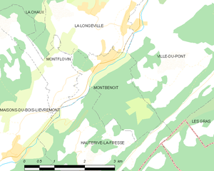
Монбенуа
- коммуна во Франции
Hiking in Монбенуа
Montbenoît is a beautiful commune located in the Jura Mountains of France. It offers stunning natural landscapes, ideal for hiking and outdoor activities. Here are some highlights and tips for hiking in Montbenoît:...
- Страна:
- Почтовый код: 25650
- Координаты: 46° 59' 34" N, 6° 27' 43" E
- GPS треки (wikiloc): [Ссылка]
- Площадь: 5.03 кв.км
- Население: 397
- Веб сайт: [Ссылка]


Ville-du-Pont
- коммуна во Франции
Hiking in Ville-du-Pont
Ville-du-Pont is a small commune located in the Jura region of eastern France, known for its picturesque landscapes, lush forests, and winding trails. While it may not be as widely known as some other hiking destinations in France, it offers plenty of opportunities for outdoor enthusiasts....
- Страна:
- Почтовый код: 25650
- Координаты: 47° 0' 11" N, 6° 28' 39" E
- GPS треки (wikiloc): [Ссылка]
- Площадь: 15.02 кв.км
- Население: 307


Montflovin
- коммуна во Франции
Hiking in Montflovin
Montflovin is a small village located in the Jura Mountains of France, known for its stunning landscapes and outdoor recreational opportunities. Hiking in this area offers a great experience for both seasoned hikers and beginners, with various trails that cater to different skill levels....
- Страна:
- Почтовый код: 25650
- Координаты: 46° 59' 11" N, 6° 26' 42" E
- GPS треки (wikiloc): [Ссылка]
- Площадь: 3.35 кв.км
- Население: 100