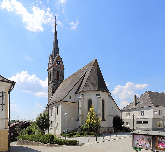
Майрхоф (Mayrhof, Mayrhof)

 Hiking in Майрхоф
Mayrhofen, located in the Zillertal Valley of Austria, is a renowned destination for hiking enthusiasts. The region offers a stunning array of trails that cater to all skill levels, making it an ideal spot for both novice and experienced hikers. Here are some key points about hiking in Mayrhofen:
Scenic Trails
- Zillertal High Road: This is one of the most famous hiking trails in the area, extending over 120 kilometers. It offers breathtaking views of the Zillertal Alps and various mountain passes.
- Ahorn Mountain: A popular starting point for hikes, you can take a cable car to the summit and enjoy several routes from there, including paths that lead to picturesque lakes and viewpoints.
- Schlegeis Alpine Road: Offers a range of hiking options, with trails leading to beautiful spots like the Schlegeis reservoir.
Difficulty Levels
- Trails vary in difficulty, from easy walks suitable for families to challenging hikes that require good fitness levels. The marked routes make it easy to choose an appropriate trail.
Nature and Wildlife
- The Zillertal region is rich in biodiversity, with alpine meadows, unique flora, and the chance to spot wildlife such as marmots and chamois.
Local Culture
- Many trails also let you discover local culture, including alpine huts where you can stop for traditional Tyrolean food and drink, enhancing your hiking experience.
Seasonal Considerations
- In May, while many trails are typically accessible, it's essential to check local conditions as late snow can affect high-altitude paths. Lower trails are generally clear and ideal for hiking during this time.
Additional Tips
- Gear: Proper hiking boots and weather-appropriate clothing are essential due to the variable mountain weather.
- Navigation: While trails are well-marked, bringing a map or using a hiking app can be helpful.
- Guided Tours: If you’re unfamiliar with the area or want to enhance your experience, consider joining guided hikes that provide insight into the local ecosystem and history.
Overall, Mayrhofen offers a remarkable hiking experience set against the backdrop of stunning alpine scenery, making it a must-visit for outdoor enthusiasts.
- Страна:

- Почтовый код: 4777
- Телефонный код: 07767
- Код автомобильного номера: SD
- Координаты: 48° 21' 0" N, 13° 30' 0" E


- GPS треки (wikiloc): [Ссылка]
- Высота над уровнем моря: 430 м m
- Площадь: 5 кв.км
- Население: 322
- Веб сайт: http://www.mayrhof.info/
- Википедия русская: wiki(ru)
- Википедия английская: wiki(en)
- Википедия национальная: wiki(de)
- Хранилище Wikidata: Wikidata: Q682561
- Катеория в википедии: [Ссылка]
- код Freebase: [/m/03gvbn4]
- код GeoNames: Альт: [7873825]
- код VIAF: Альт: [247397247]
- код австрийского муниципалитета: [41412]
Граничит с регионами:

Андорф
- муниципалитет в Австрии
Hiking in Андорф
Andorf, located in the Innviertel region of Austria, offers a charming setting for hiking enthusiasts. The area is characterized by rolling hills, picturesque landscapes, and a mix of forests and open fields, making it suitable for various hiking levels....
- Страна:
- Почтовый код: 4770
- Телефонный код: 07766
- Код автомобильного номера: SD
- Координаты: 48° 22' 0" N, 13° 34' 0" E
- GPS треки (wikiloc): [Ссылка]
- Высота над уровнем моря: 346 м m
- Площадь: 38 кв.км
- Население: 5174
- Веб сайт: [Ссылка]
Эггердинг
Hiking in Эггердинг
Eggerding, a small village located in Austria, is surrounded by beautiful landscapes that offer a range of hiking opportunities. The region is characterized by picturesque alpine scenery, rolling hills, and lush forests, making it a great destination for hikers of all skill levels....
- Страна:
- Почтовый код: 4773
- Телефонный код: 07767
- Код автомобильного номера: SD
- Координаты: 48° 21' 0" N, 13° 29' 0" E
- GPS треки (wikiloc): [Ссылка]
- Высота над уровнем моря: 382 м m
- Площадь: 22 кв.км
- Население: 1320
- Веб сайт: [Ссылка]

Ламбрехтен
Hiking in Ламбрехтен
Lambrechten, a picturesque area located in Austria, is known for its natural beauty and offers excellent hiking opportunities. Surrounded by lush forests, rolling hills, and stunning alpine scenery, Lambrechten provides diverse trails suitable for all skill levels, from beginners to experienced hikers....
- Страна:
- Почтовый код: 4772
- Телефонный код: 07765
- Код автомобильного номера: RI
- Координаты: 48° 19' 5" N, 13° 30' 56" E
- GPS треки (wikiloc): [Ссылка]
- Высота над уровнем моря: 406 м m
- Площадь: 24 кв.км
- Население: 1300
- Веб сайт: [Ссылка]