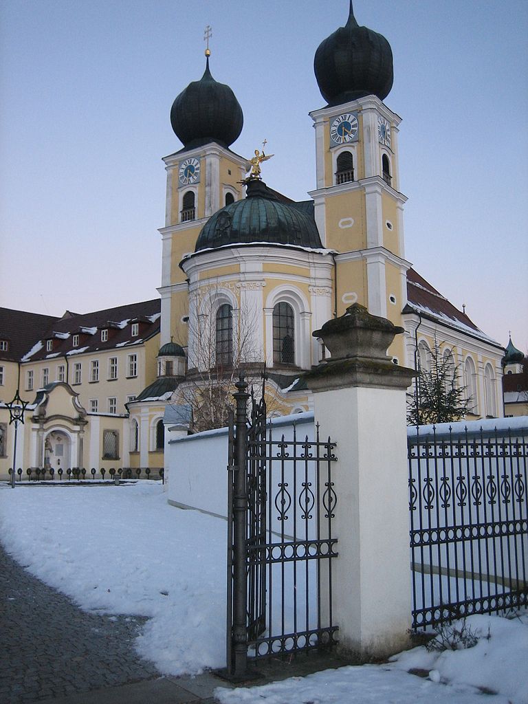
Оффенберг (Offenberg, Offenberg)

 Hiking in Оффенберг
Offenberg is a small town located in Bavaria, Germany, known for its beautiful landscapes and outdoor activities, including hiking. Here are some highlights about hiking in that area:
-
Scenic Trails: The region around Offenberg offers a variety of scenic trails that range from easy walks to more challenging hikes. The trails often traverse through lush forests, fields, and along rivers, providing stunning views of the Bavarian landscape.
-
Nature Reserves: There are several natural areas and reserves near Offenberg that are great for hiking. These areas often feature diverse flora and fauna, making it an excellent spot for nature enthusiasts and bird watchers.
-
Well-Marked Paths: The hiking trails in and around Offenberg are generally well-marked, making it easier for hikers to navigate. Look for signs and maps at trailheads for guidance on routes and distances.
-
Historical Sites: While hiking, you may come across historical sites and landmarks, as the region is rich in history. These can add an educational aspect to your hiking experience.
-
Hiking Tips:
- Seasonal Considerations: The best times for hiking in Bavaria are typically late spring to early fall. Check local weather and trail conditions before heading out.
- Gear Up: Wear comfortable hiking boots and dress in layers to accommodate changing weather. Don’t forget water, snacks, and a first-aid kit.
- Stay Safe: Always let someone know your hiking plans and consider hiking with a partner. It’s also advisable to have a map or GPS device.
-
Local Guides: If you're new to the area or unsure about which trails to take, consider hiring a local guide who can provide insight into the best routes and hidden gems.
-
Community Events: Offenberg may host community hiking events or meetups, which can be a fun way to explore the area while meeting fellow hikers.
Enjoy your hiking adventure in Offenberg, and remember to respect nature and follow local regulations!
- Страна:

- Почтовый код: 94560
- Телефонный код: 09906; 09962; 09905; 0991
- Код автомобильного номера: DEG
- Координаты: 48° 52' 0" N, 12° 52' 0" E


- GPS треки (wikiloc): [Ссылка]
- Высота над уровнем моря: 346 м m
- Площадь: 23.76 кв.км
- Население: 3258
- Веб сайт: http://www.offenberg.de
- Википедия русская: wiki(ru)
- Википедия английская: wiki(en)
- Википедия национальная: wiki(de)
- Хранилище Wikidata: Wikidata: Q508771
- Катеория в википедии: [Ссылка]
- код Freebase: [/m/02q0__3]
- код GeoNames: Альт: [2857800]
- код VIAF: Альт: [248712108]
- ID отношения в OpenStreetMap: [959802]
- код GND: Альт: [4454202-1]
- Bavarikon ID: [ODB_A00001449]
- идентификатор муниципалитетов в Германии: 09271140
Граничит с регионами:


Мариапошинг
Hiking in Мариапошинг
Mariaposching, located in Bavaria, Germany, offers beautiful landscapes and a variety of hiking opportunities suitable for different skill levels. The region is characterized by its rolling hills, scenic meadows, and woodlands, making it a delightful destination for nature lovers and outdoor enthusiasts....
- Страна:
- Почтовый код: 94553
- Телефонный код: 09906
- Код автомобильного номера: SR
- Координаты: 48° 50' 0" N, 12° 48' 0" E
- GPS треки (wikiloc): [Ссылка]
- Высота над уровнем моря: 316 м m
- Площадь: 19.61 кв.км
- Население: 1236
- Веб сайт: [Ссылка]

Бернрид
Hiking in Бернрид
Bernried, located in Bavaria, Germany, is an excellent destination for hiking enthusiasts. Nestled near the beautiful Starnberger See (Lake Starnberg), it offers a mix of picturesque landscapes, serene lakeshores, and forested hills. Here are some highlights to consider when hiking in Bernried:...
- Страна:
- Почтовый код: 94374; 94505
- Телефонный код: 09905
- Код автомобильного номера: DEG
- Координаты: 48° 55' 0" N, 12° 52' 0" E
- GPS треки (wikiloc): [Ссылка]
- Высота над уровнем моря: 382 м m
- Площадь: 39.47 кв.км
- Население: 4772
- Веб сайт: [Ссылка]

Штефанспошинг
Hiking in Штефанспошинг
Stephansposching is a small village in Bavaria, Germany, located near the banks of the River Inn. While it may not be as well-known as some other hiking destinations in the region, its picturesque countryside, rolling hills, and proximity to nature trails make it a lovely spot for outdoor activities....
- Страна:
- Почтовый код: 94569
- Телефонный код: 09931; 09935
- Код автомобильного номера: DEG
- Координаты: 48° 49' 0" N, 12° 48' 0" E
- GPS треки (wikiloc): [Ссылка]
- Высота над уровнем моря: 326 м m
- Площадь: 44.64 кв.км
- Население: 3027
- Веб сайт: [Ссылка]
Меттен
Hiking in Меттен
Metten is a charming town in Bavaria, Germany, known for its beautiful landscapes and outdoor activities, including hiking. The town is surrounded by lush forests, rolling hills, and the Danube River, making it an ideal location for nature lovers and hikers of all skill levels....
- Страна:
- Почтовый код: 94526
- Телефонный код: 0991
- Код автомобильного номера: DEG
- Координаты: 48° 52' 0" N, 12° 55' 0" E
- GPS треки (wikiloc): [Ссылка]
- Высота над уровнем моря: 318 м m
- Площадь: 11.95 кв.км
- Население: 4191
- Веб сайт: [Ссылка]


Нидервинклинг
Hiking in Нидервинклинг
Niederwinkling is a beautiful area located in Bavaria, Germany, and it offers a variety of hiking opportunities for outdoor enthusiasts. This region is characterized by its lush landscapes, rolling hills, and quaint villages, making it a picturesque destination for nature lovers....
- Страна:
- Почтовый код: 94559
- Телефонный код: 09962
- Код автомобильного номера: SR
- Координаты: 48° 53' 0" N, 12° 48' 0" E
- GPS треки (wikiloc): [Ссылка]
- Высота над уровнем моря: 320 м m
- Площадь: 25.65 кв.км
- Население: 1759
- Веб сайт: [Ссылка]


Шварцах
- муниципалитет в Германии, Бавария
Hiking in Шварцах
Schwarzach, located in Lower Bavaria, Germany, is a quaint area known for its beautiful landscapes, lush forests, and scenic trails. Here are some key points about hiking in the area:...
- Страна:
- Почтовый код: 94374
- Телефонный код: 09962
- Код автомобильного номера: SR
- Координаты: 48° 55' 0" N, 12° 49' 0" E
- GPS треки (wikiloc): [Ссылка]
- Высота над уровнем моря: 361 м m
- Площадь: 33.22 кв.км
- Население: 2263
- Веб сайт: [Ссылка]