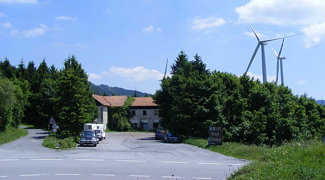
Пампарато (Pamparato, Pamparato)
- Коммуна в Италии, располагается в регионе Пьемонт, подчиняется административному центру Кунео.
 Hiking in Пампарато
Pamparato is a picturesque town located in the Piedmont region of Italy, specifically in the province of Cuneo. It is nestled in the Maritime Alps, making it an excellent destination for hiking enthusiasts. Here are some highlights and tips for hiking in the Pamparato area:
Hiking Trails
-
Sentiero degli Alpini: This trail offers stunning views of the surrounding mountains and valleys. It traces a historical route used by local alpine troops, providing both beautiful scenery and a glimpse into the area’s heritage.
-
Monte Ficaia: A popular destination for hikers, Monte Ficaia provides a relatively easy hike with rewarding panoramic views from the summit. The trail is accessible and suitable for families as well.
-
Valle Pesio: Located nearby, this valley offers numerous trails that range from easy to challenging. The Valley of the Pesio River is famous for its lush nature and diverse flora and fauna.
-
Local Plant and Wildlife Trails: Several trails focus on the area’s biodiversity, showcasing local plants and wildlife. These trails are informative and great for nature lovers.
Best Hiking Season
The best time to hike in Pamparato is typically from late spring to early autumn (May to September), when the weather is mild, and the trails are usually in good condition. However, for more adventurous hikers, the winter months can also offer skiing and snowshoeing opportunities.
Preparation and Safety
- Maps & Guides: It's advisable to carry a detailed map or guide of the trails. Local tourist offices can provide resources and advice on current trail conditions.
- Gear: Wear appropriate hiking footwear and attire, as some trails can be rocky or steep. A good hiking stick can also be beneficial.
- Hydration & Nutrition: Carry enough water and snacks to maintain your energy throughout the hike.
- Weather Awareness: As weather can change rapidly in the mountains, check the forecasts and be prepared for different weather conditions.
Local Tips
- Cultural Experience: Pamparato and the surrounding region have a rich cultural heritage, so consider exploring local towns, trying regional dishes, and visiting historical sites after your hike.
- Guided Tours: If you’re unfamiliar with the area, guided hiking tours are available and can offer a wealth of local knowledge and ensure safety on the trails.
Overall, hiking in Pamparato is a rewarding experience for both novice and experienced hikers, offering stunning natural landscapes and plenty of opportunities to enjoy the Alpine environment.
- Страна:

- Почтовый код: 12087
- Телефонный код: 0174
- Код автомобильного номера: CN
- Координаты: 44° 17' 0" N, 7° 55' 0" E


- GPS треки (wikiloc): [Ссылка]
- Высота над уровнем моря: 816 м m
- Площадь: 34.51 кв.км
- Население: 298
- Веб сайт: http://www.comune.pamparato.cn.it
- Википедия русская: wiki(ru)
- Википедия английская: wiki(en)
- Википедия национальная: wiki(it)
- Хранилище Wikidata: Wikidata: Q20292
- Галерея изображений в википедии: [Ссылка]
- Катеория в википедии: [Ссылка]
- код Freebase: [/m/0gbc4r]
- код GeoNames: Альт: [6536422]
- код VIAF: Альт: [122434053]
- ID отношения в OpenStreetMap: [42978]
- код ISTAT: 004159
- кадастровый код Италии: G302
Граничит с регионами:
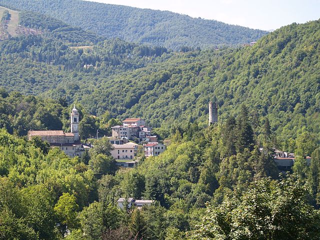
Гарессио
- коммуна Италии
Hiking in Гарессио
Garessio, located in the Piedmont region of northern Italy, offers a beautiful setting for hiking enthusiasts. Nestled in the Ligurian Alps, it is surrounded by stunning landscapes, diverse flora and fauna, and picturesque views. Here are some highlights about hiking in Garessio:...
- Страна:
- Почтовый код: 12075
- Телефонный код: 0174
- Код автомобильного номера: CN
- Координаты: 44° 12' 0" N, 8° 1' 0" E
- GPS треки (wikiloc): [Ссылка]
- Высота над уровнем моря: 621 м m
- Площадь: 131.29 кв.км
- Население: 3132
- Веб сайт: [Ссылка]
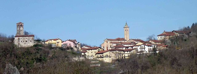
Монастероло-Казотто
- коммуна Италии
Hiking in Монастероло-Казотто
Monasterolo Casotto, located in the Piemonte region of Italy, offers a serene environment for hiking enthusiasts. Situated near the beautiful hills of the Langhe, the area is characterized by its stunning landscapes, vineyards, and charming rural settings. Here’s what you need to know about hiking in and around Monasterolo Casotto:...
- Страна:
- Почтовый код: 12080
- Телефонный код: 0174
- Код автомобильного номера: CN
- Координаты: 44° 20' 0" N, 7° 56' 0" E
- GPS треки (wikiloc): [Ссылка]
- Высота над уровнем моря: 824 м m
- Площадь: 7.68 кв.км
- Население: 84
- Веб сайт: [Ссылка]
Робурент
- коммуна Италии
Hiking in Робурент
Roburent is a charming mountain village located in the Piedmont region of Italy, nestled in the Cuneo province. This area is part of the Maritime Alps and offers a variety of hiking opportunities that cater to different skill levels. Here are some key points about hiking in and around Roburent:...
- Страна:
- Почтовый код: 12080
- Телефонный код: 0174
- Код автомобильного номера: CN
- Координаты: 44° 19' 0" N, 7° 53' 0" E
- GPS треки (wikiloc): [Ссылка]
- Высота над уровнем моря: 788 м m
- Площадь: 29.81 кв.км
- Население: 496
- Веб сайт: [Ссылка]
Торре-Мондови
- коммуна Италии
Hiking in Торре-Мондови
Torre Mondovì is a charming town located in the Piedmont region of Italy, nestled in the foothills of the Alps. The area is known for its beautiful landscapes, rich history, and a network of hiking trails that cater to various skill levels....
- Страна:
- Почтовый код: 12080
- Телефонный код: 0174
- Код автомобильного номера: CN
- Координаты: 44° 21' 0" N, 7° 54' 0" E
- GPS треки (wikiloc): [Ссылка]
- Высота над уровнем моря: 460 м m
- Площадь: 18.54 кв.км
- Население: 487
- Веб сайт: [Ссылка]
Виола
- коммуна Италии
Hiking in Виола
Viola is a charming village located in the Piedmont region of northern Italy, nestled amidst the breathtaking landscape of the Cottian Alps. The area around Viola offers a variety of hiking opportunities suitable for different skill levels, ranging from gentle walks to more challenging treks....
- Страна:
- Почтовый код: 12070
- Телефонный код: 0174
- Код автомобильного номера: CN
- Координаты: 44° 17' 0" N, 7° 58' 0" E
- GPS треки (wikiloc): [Ссылка]
- Высота над уровнем моря: 827 м m
- Площадь: 21.07 кв.км
- Население: 363
- Веб сайт: [Ссылка]