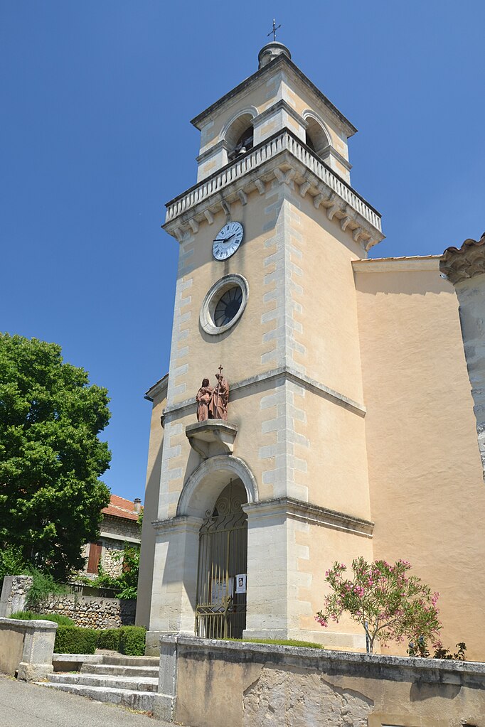
Valaurie (Valaurie)

- коммуна во Франции
 Hiking in Valaurie
Valaurie is a beautiful village located in the Drôme department of the Auvergne-Rhône-Alpes region in southern France. It's a charming area that offers a mix of cultural heritage and natural beauty, making it a delightful destination for hiking enthusiasts.
Hiking Opportunities:
-
Scenic Trails: The region around Valaurie features a variety of hiking trails that vary in difficulty, making it accessible for both beginners and experienced hikers. You can expect to find trails that showcase stunning landscapes, vineyards, and rolling hills characteristic of the Drôme Provençale.
-
The Vineyards: One of the highlights of hiking near Valaurie is the opportunity to walk through picturesque vineyards. The area is known for producing excellent wines, and some routes may lead you to wineries where you can taste local wines and learn about the region's viticulture.
-
Adjacent Natural Parks: Valaurie is near natural parks and protected areas, such as the Parc Naturel Régional des Baronnies Provençales. These parks offer more extensive hiking routes with varied terrain, including hills, forests, and mountain landscapes.
-
Historical Points of Interest: While trekking, you may come across historical sites. The village itself has some charming old architecture, and points of interest might include ancient churches, ruins, and traditional Provençal houses.
-
Flora and Fauna: The trails in this region are not just about picturesque views; they also provide opportunities to observe local wildlife and diverse flora. The region’s Mediterranean climate contributes to a rich biodiversity that can be enjoyed while hiking.
Tips for Hiking in Valaurie:
-
Preparation: Always check local maps and trail information before heading out. Carry enough water and snacks, and wear appropriate footwear and clothing for hiking.
-
Weather: The weather in this region can vary, so be prepared for changing conditions. Summer can be hot, while spring and fall are generally milder and more conducive to hiking.
-
Local Guides: Consider joining a guided hike or seeking recommendations from local tourist offices. They can provide insights into the best trails and any events happening in the area.
-
Respect Nature: Follow the Leave No Trace principles to preserve the natural beauty of the area. Stay on marked paths and respect wildlife.
Whether you're hiking for leisure or seeking adventure, Valaurie and its surrounding areas offer a delightful experience immersed in nature and culture. Enjoy your hiking journey!
- Страна:

- Почтовый код: 26230
- Координаты: 44° 25' 20" N, 4° 48' 49" E


- GPS треки (wikiloc): [Ссылка]
- Площадь: 12.3 кв.км
- Население: 589
- Веб сайт: http://www.mairie-valaurie.fr
- Википедия английская: wiki(en)
- Википедия национальная: wiki(fr)
- Хранилище Wikidata: Wikidata: Q266150
- Катеория в википедии: [Ссылка]
- код Freebase: [/m/03mhlpq]
- код Freebase: [/m/03mhlpq]
- код GeoNames: Альт: [6430259]
- код GeoNames: Альт: [6430259]
- номер SIREN: [212603609]
- номер SIREN: [212603609]
- код BNF: [152532204]
- код BNF: [152532204]
- код муниципалитета INSEE: 26360
- код муниципалитета INSEE: 26360
Граничит с регионами:

Les Granges-Gontardes
- коммуна во Франции
- Страна:
- Почтовый код: 26290
- Координаты: 44° 24' 57" N, 4° 45' 47" E
- GPS треки (wikiloc): [Ссылка]
- Площадь: 7.26 кв.км
- Население: 613
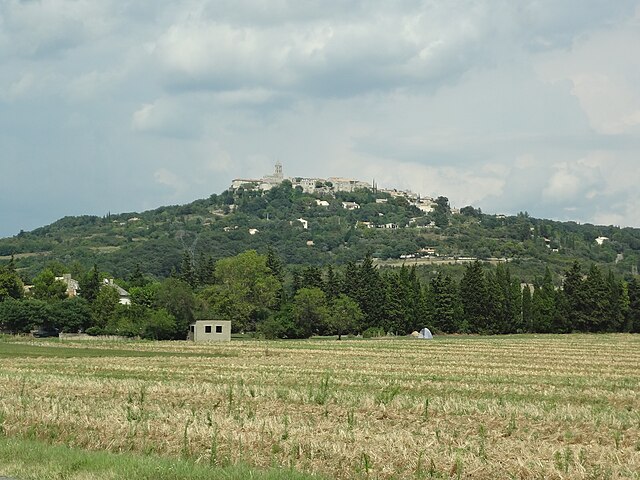
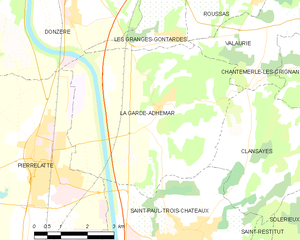
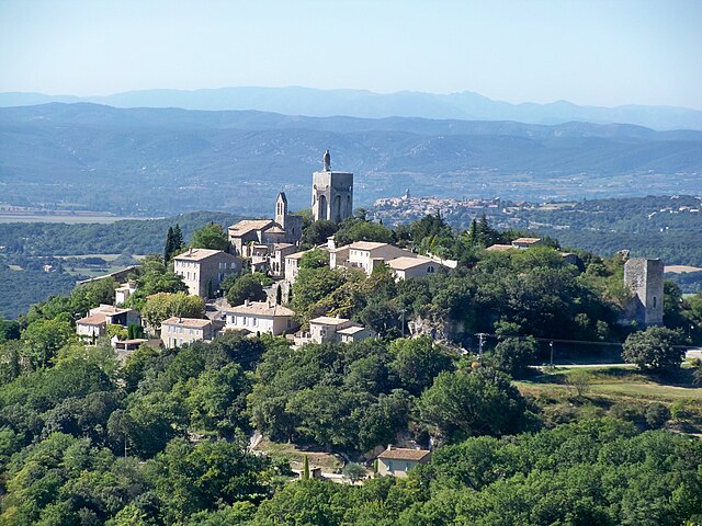
La Garde-Adhémar
- коммуна во Франции
- Страна:
- Почтовый код: 26700
- Координаты: 44° 23' 34" N, 4° 45' 15" E
- GPS треки (wikiloc): [Ссылка]
- Площадь: 27.73 кв.км
- Население: 1065

Clansayes
- коммуна во Франции
- Страна:
- Почтовый код: 26130
- Координаты: 44° 22' 16" N, 4° 48' 27" E
- GPS треки (wikiloc): [Ссылка]
- Площадь: 14.47 кв.км
- Население: 516


Réauville
- коммуна во Франции
Hiking in Réauville
Réauville is a charming village located in the Drôme department of the Auvergne-Rhône-Alpes region in southeastern France. While not as widely known as some larger hiking destinations, Réauville and its surrounding area offer a variety of trails and scenic landscapes that can appeal to hikers of all skill levels....
- Страна:
- Почтовый код: 26230
- Координаты: 44° 26' 40" N, 4° 50' 39" E
- GPS треки (wikiloc): [Ссылка]
- Площадь: 18.22 кв.км
- Население: 382


Roussas
- коммуна во Франции
- Страна:
- Почтовый код: 26230
- Координаты: 44° 25' 51" N, 4° 48' 7" E
- GPS треки (wikiloc): [Ссылка]
- Площадь: 16.07 кв.км
- Население: 364


Chantemerle-lès-Grignan
- коммуна во Франции
Hiking in Chantemerle-lès-Grignan
Chantemerle-lès-Grignan is a picturesque village located in the Drôme department of the Auvergne-Rhône-Alpes region of southeastern France. Its proximity to the stunning landscapes of the Provence region makes it an enticing destination for hikers. Here’s what you should know about hiking in this area:...
- Страна:
- Почтовый код: 26230
- Координаты: 44° 24' 11" N, 4° 50' 8" E
- GPS треки (wikiloc): [Ссылка]
- Площадь: 9.82 кв.км
- Население: 271