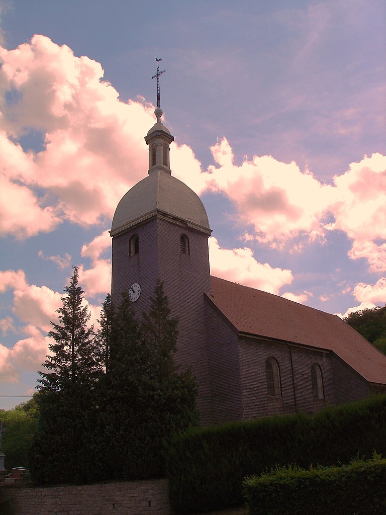
Verrières-du-Grosbois (Verrières-du-Grosbois)

- коммуна во Франции
 Hiking in Verrières-du-Grosbois
Verrières-du-Grosbois, located in the Doubs department of France, is a beautiful region that offers various hiking opportunities. The area is characterized by its stunning natural landscapes, including rolling hills, dense forests, and panoramic views of the surrounding Jura Mountains. Here are some highlights for hiking in this region:
Trails
- Nature Trails: There are several well-marked trails in and around Verrières-du-Grosbois that cater to different skill levels, from easy walks suitable for families to more challenging hikes for experienced adventurers.
- Sentiers de Grande Randonnée (GR Trails): The region is connected to the French long-distance hiking trails (GR), allowing hikers to explore longer routes and connect with other areas in the Jura region.
Notable Locations
- Château de Grosbois: While hiking, you may encounter historical sites like the Château de Grosbois, providing a glimpse into the area's history and culture.
- Views and Vistas: Look for vantage points along the hikes that overlook the Doubs Valley and the surrounding countryside, perfect for taking pictures and enjoying a break.
Flora and Fauna
Verrières-du-Grosbois is rich in biodiversity. As you hike, keep an eye out for local wildlife, including deer and various bird species, and enjoy the diverse plant life along the trails.
Tips for Hiking in Verrières-du-Grosbois
- Weather: Be mindful of the weather conditions before heading out. The climate can vary, so dress in layers and check forecasts.
- Trail Maps: Use official trail maps or a hiking app to navigate the area. Marked signs are usually available along the paths.
- Stay Hydrated: Bring plenty of water and snacks, especially for longer hikes.
- Respect Nature: Follow leave-no-trace principles, take your litter with you, and stay on designated trails to protect the local environment.
Whether you're just looking for a leisurely walk or a more challenging hike, Verrières-du-Grosbois offers an excellent opportunity to connect with nature and explore the breathtaking landscapes of this beautiful region in France. Enjoy your hike!
- Страна:

- Почтовый код: 25580
- Координаты: 47° 12' 3" N, 6° 16' 37" E


- GPS треки (wikiloc): [Ссылка]
- Высота над уровнем моря: 599 м m
- Площадь: 7.86 кв.км
- Население: 34
- Википедия английская: wiki(en)
- Википедия национальная: wiki(fr)
- Хранилище Wikidata: Wikidata: Q571178
- Катеория в википедии: [Ссылка]
- код Freebase: [/m/03mhf5p]
- код GeoNames: Альт: [6616244]
- код BNF: [15252836x]
- код муниципалитета INSEE: 25610
Граничит с регионами:


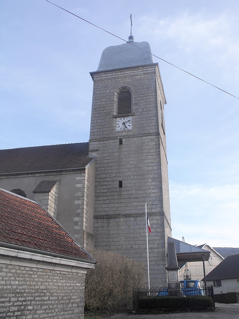
Étalans
- коммуна во Франции
Hiking in Étalans
Étalans is a charming village located in the Doubs department in the Bourgogne-Franche-Comté region of France. It is surrounded by beautiful natural landscapes, making it a great spot for hiking enthusiasts. Here are some highlights and tips for hiking in and around Étalans:...
- Страна:
- Почтовый код: 25580
- Координаты: 47° 9' 5" N, 6° 16' 6" E
- GPS треки (wikiloc): [Ссылка]
- Площадь: 23.95 кв.км
- Население: 1219
- Веб сайт: [Ссылка]


Vercel-Villedieu-le-Camp
- коммуна во Франции
Hiking in Vercel-Villedieu-le-Camp
Vercel-Villedieu-le-Camp is a charming commune located in the Drôme department of southeastern France, nestled in the stunning landscapes of the Auvergne-Rhône-Alpes region. The area is known for its scenic beauty, diverse terrain, and a variety of outdoor activities, making it a great destination for hiking enthusiasts....
- Страна:
- Почтовый код: 25530
- Координаты: 47° 11' 2" N, 6° 23' 57" E
- GPS треки (wikiloc): [Ссылка]
- Площадь: 29.96 кв.км
- Население: 1540
- Веб сайт: [Ссылка]

Gonsans
- коммуна во Франции
Hiking in Gonsans
It seems there might be a typo or a misunderstanding regarding the location "Gonsans," as it doesn't refer to a well-known hiking destination. However, if you meant "Gonzales" in the United States, or perhaps a region with a similar name, please clarify, and I can provide specific information....
- Страна:
- Почтовый код: 25360
- Координаты: 47° 13' 55" N, 6° 18' 1" E
- GPS треки (wikiloc): [Ссылка]
- Площадь: 17.29 кв.км
- Население: 577


Valdahon
- коммуна во Франции
Hiking in Valdahon
Valdahon is a charming town located in the Doubs department in eastern France, surrounded by beautiful natural landscapes that provide excellent hiking opportunities. The region is characterized by rolling hills, forests, and picturesque valleys, making it a great destination for outdoor enthusiasts....
- Страна:
- Почтовый код: 25800
- Координаты: 47° 8' 59" N, 6° 20' 41" E
- GPS треки (wikiloc): [Ссылка]
- Площадь: 25.51 кв.км
- Население: 5474
- Веб сайт: [Ссылка]

Naisey-les-Granges
- коммуна во Франции
Hiking in Naisey-les-Granges
Naisey-les-Granges is a charming village located in the Franche-Comté region of eastern France, surrounded by picturesque landscapes and natural beauty that make it an appealing destination for hiking enthusiasts. Here are some key points about hiking in Naisey-les-Granges:...
- Страна:
- Почтовый код: 25360
- Координаты: 47° 12' 43" N, 6° 14' 13" E
- GPS треки (wikiloc): [Ссылка]
- Высота над уровнем моря: 480 м m
- Площадь: 25.13 кв.км
- Население: 800


L'Hôpital-du-Grosbois
- коммуна во Франции
Hiking in L'Hôpital-du-Grosbois
L'Hôpital-du-Grosbois is a charming village located in the Doubs department of France, surrounded by beautiful landscapes ideal for hiking. Here are some details to help you make the most of your hiking experience in the area:...
- Страна:
- Почтовый код: 25620
- Координаты: 47° 10' 19" N, 6° 12' 59" E
- GPS треки (wikiloc): [Ссылка]
- Площадь: 7.84 кв.км
- Население: 586
- Веб сайт: [Ссылка]