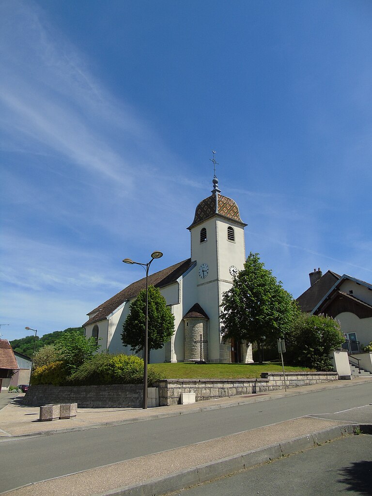
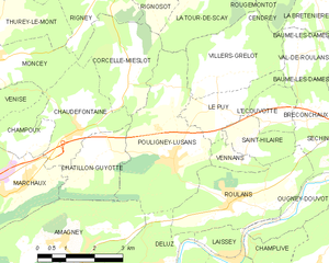
Villers-Grélot (Villers-Grélot)

- коммуна во Франции
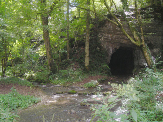
 Hiking in Villers-Grélot
Villers-Grélot is a charming and lesser-known destination for hiking enthusiasts, situated in Belgium. Given its rural landscape and natural beauty, it offers a variety of trails that cater to different skill levels.
Key Hiking Features:
-
Natural Scenery: The area is characterized by lush forests, rolling hills, and picturesque countryside views. The landscapes can be particularly beautiful in spring and autumn, with diverse flora and fauna.
-
Trail Variety: You can find various hiking routes that range from easy walks to more challenging trails. The paths are often well-marked, making it easier for hikers to navigate the area.
-
Accessibility: Villers-Grélot is accessible from nearby larger towns or cities, making it a convenient spot for day hikes or weekend getaways.
-
Cultural Points: Some trails might lead you to historical sites or local landmarks, offering a chance to explore the cultural heritage of the region.
-
Wildlife Observation: The natural habitat around Villers-Grélot provides an opportunity for birdwatching and observing other wildlife.
Hiking Tips:
- Dress Appropriately: Weather can change quickly, so wearing layers and bringing a waterproof jacket is advisable.
- Stay Hydrated: Always carry enough water, especially on longer hikes.
- Trail Maps: Although trails are marked, it’s a good idea to bring a map or download hiking apps for offline access.
- Leave No Trace: Follow principles of leaving no trace to keep the area pristine and enjoyable for others.
Overall, hiking in Villers-Grélot offers a peaceful escape into nature, ideal for both seasoned hikers and beginners looking to enjoy a day outdoors. Enjoy your hike!
- Страна:

- Почтовый код: 25640
- Координаты: 47° 21' 24" N, 6° 13' 36" E


- GPS треки (wikiloc): [Ссылка]
- Площадь: 7.02 кв.км
- Население: 157
- Википедия английская: wiki(en)
- Википедия национальная: wiki(fr)
- Хранилище Wikidata: Wikidata: Q906246
- Катеория в википедии: [Ссылка]
- код Freebase: [/m/03mhfd6]
- код GeoNames: Альт: [6430056]
- номер SIREN: [212506240]
- код BNF: [15252850g]
- код муниципалитета INSEE: 25624
Граничит с регионами:


Val-de-Roulans
- коммуна во Франции
Hiking in Val-de-Roulans
Val-de-Roulans, located in the Doubs department of France, offers a variety of hiking opportunities amidst beautiful natural landscapes. The region is characterized by its rolling hills, lush forests, and scenic views, making it an excellent destination for both novice and experienced hikers....
- Страна:
- Почтовый код: 25640
- Координаты: 47° 21' 42" N, 6° 15' 52" E
- GPS треки (wikiloc): [Ссылка]
- Площадь: 2.99 кв.км
- Население: 189


Cendrey
Hiking in Cendrey
Cendrey is a lesser-known area that offers beautiful natural landscapes, ideal for hiking enthusiasts seeking tranquility and stunning views. While it’s not as popular as some other hiking destinations, it can provide a unique experience away from crowded trails....
- Страна:
- Почтовый код: 25640
- Координаты: 47° 24' 14" N, 6° 14' 41" E
- GPS треки (wikiloc): [Ссылка]
- Площадь: 5.52 кв.км
- Население: 187


La Tour-de-Sçay
- коммуна во Франции
Hiking in La Tour-de-Sçay
La Tour-de-Sçay, located in the beautiful region of Haute-Savoie in France, offers a variety of hiking opportunities that showcase the stunning landscapes of the French Alps. Here are some key points to consider for hiking in this region:...
- Страна:
- Почтовый код: 25640
- Координаты: 47° 23' 12" N, 6° 13' 34" E
- GPS треки (wikiloc): [Ссылка]
- Площадь: 8.82 кв.км
- Население: 287


Le Puy
- коммуна во Франции
Hiking in Le Puy
Le Puy in Doubs, located in the Bourgogne-Franche-Comté region of France, is a fantastic spot for hiking, with its beautiful natural landscapes, varied terrain, and rich cultural history. Here’s a brief overview of what you can expect when hiking in the area:...
- Страна:
- Почтовый код: 25640
- Координаты: 47° 20' 43" N, 6° 13' 41" E
- GPS треки (wikiloc): [Ссылка]
- Площадь: 3.42 кв.км
- Население: 110
Pouligney-Lusans
- коммуна во Франции
Hiking in Pouligney-Lusans
Pouligney-Lusans is a small commune located in the Doubs department of the Bourgogne-Franche-Comté region in eastern France. While it may not be a widely recognized hiking destination, the surrounding area does offer opportunities for nature walks and hiking experiences....
- Страна:
- Почтовый код: 25640
- Координаты: 47° 19' 43" N, 6° 12' 14" E
- GPS треки (wikiloc): [Ссылка]
- Площадь: 11.6 кв.км
- Население: 835

Rougemontot
- коммуна во Франции
Hiking in Rougemontot
Rougemontot is a picturesque destination located in the region of the Jura Mountains in France, known for its stunning natural scenery and outdoor activities, including hiking. Here are some things to consider if you're planning to hike in Rougemontot:...
- Страна:
- Почтовый код: 25640
- Координаты: 47° 23' 51" N, 6° 15' 46" E
- GPS треки (wikiloc): [Ссылка]
- Площадь: 4.25 кв.км
- Население: 93