Écardenville-la-Campagne (Écardenville-la-Campagne)

- commune in Eure, France
- Country:

- Postal Code: 27170
- Coordinates: 49° 7' 7" N, 0° 50' 48" E


- GPS tracks (wikiloc): [Link]
- Area: 7.4 sq km
- Population: 473
- Wikipedia en: wiki(en)
- Wikipedia: wiki(fr)
- Wikidata storage: Wikidata: Q747159
- Wikipedia Commons Category: [Link]
- Freebase ID: [/m/03nqhly]
- Freebase ID: [/m/03nqhly]
- GeoNames ID: Alt: [6430356]
- GeoNames ID: Alt: [6430356]
- SIREN number: [212702104]
- SIREN number: [212702104]
- BnF ID: [15253449d]
- BnF ID: [15253449d]
- INSEE municipality code: 27210
- INSEE municipality code: 27210
Shares border with regions:

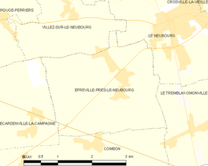
Épreville-près-le-Neubourg
- commune in Eure, France
- Country:
- Postal Code: 27110
- Coordinates: 49° 8' 9" N, 0° 52' 49" E
- GPS tracks (wikiloc): [Link]
- AboveSeaLevel: 139 м m
- Area: 7.73 sq km
- Population: 483

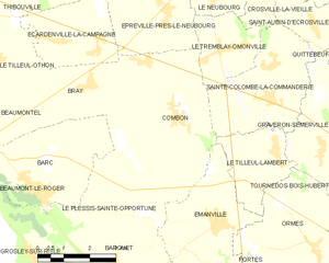
Combon
- commune in Eure, France
- Country:
- Postal Code: 27170
- Coordinates: 49° 5' 49" N, 0° 53' 21" E
- GPS tracks (wikiloc): [Link]
- Area: 16.3 sq km
- Population: 829


Bray
- commune in Eure, France
- Country:
- Postal Code: 27170
- Coordinates: 49° 6' 26" N, 0° 50' 33" E
- GPS tracks (wikiloc): [Link]
- Area: 5.85 sq km
- Population: 381


Rouge-Perriers
- commune in Eure, France
- Country:
- Postal Code: 27110
- Coordinates: 49° 8' 49" N, 0° 50' 2" E
- GPS tracks (wikiloc): [Link]
- Area: 4.12 sq km
- Population: 355