Écotay-l'Olme (Écotay-l'Olme)

- commune in Loire, France
- Country:

- Postal Code: 42600
- Coordinates: 45° 35' 28" N, 4° 3' 3" E


- GPS tracks (wikiloc): [Link]
- Area: 6.52 sq km
- Population: 1234
- Wikipedia en: wiki(en)
- Wikipedia: wiki(fr)
- Wikidata storage: Wikidata: Q1106846
- Wikipedia Commons Category: [Link]
- Freebase ID: [/m/03nw8bn]
- Freebase ID: [/m/03nw8bn]
- GeoNames ID: Alt: [6449000]
- GeoNames ID: Alt: [6449000]
- SIREN number: [214200875]
- SIREN number: [214200875]
- BnF ID: [15259656p]
- BnF ID: [15259656p]
- MusicBrainz area ID: [7d2e990b-a8f4-40e0-8f94-b7bd20d4006d]
- MusicBrainz area ID: [7d2e990b-a8f4-40e0-8f94-b7bd20d4006d]
- INSEE municipality code: 42087
- INSEE municipality code: 42087
Shares border with regions:


Bard
- commune in Loire, France
- Country:
- Postal Code: 42600
- Coordinates: 45° 35' 15" N, 4° 0' 41" E
- GPS tracks (wikiloc): [Link]
- Area: 13.78 sq km
- Population: 654


Verrières-en-Forez
- commune in Loire, France
- Country:
- Postal Code: 42600
- Coordinates: 45° 34' 15" N, 3° 59' 48" E
- GPS tracks (wikiloc): [Link]
- Area: 21.17 sq km
- Population: 683


Montbrison
- commune in Loire, France
- Country:
- Postal Code: 42600
- Coordinates: 45° 36' 27" N, 4° 3' 55" E
- GPS tracks (wikiloc): [Link]
- AboveSeaLevel: 399 м m
- Area: 16.33 sq km
- Population: 15526
- Web site: [Link]
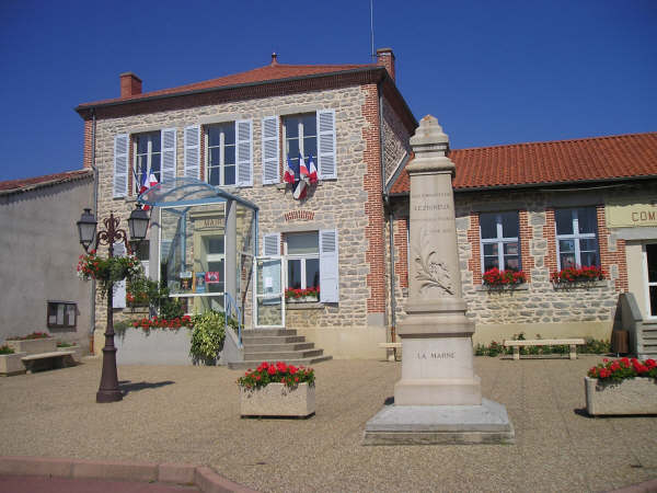
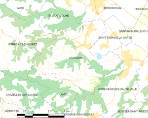
Lézigneux
- commune in Loire, France
- Country:
- Postal Code: 42600
- Coordinates: 45° 34' 2" N, 4° 3' 39" E
- GPS tracks (wikiloc): [Link]
- Area: 15.04 sq km
- Population: 1698