Éparcy (Éparcy)
- commune in Aisne, France
- Country:

- Postal Code: 02500
- Coordinates: 49° 52' 24" N, 4° 3' 38" E


- GPS tracks (wikiloc): [Link]
- Area: 7.52 sq km
- Population: 34
- Wikipedia en: wiki(en)
- Wikipedia: wiki(fr)
- Wikidata storage: Wikidata: Q1016724
- Wikipedia Commons Category: [Link]
- Freebase ID: [/m/03m7kvh]
- Freebase ID: [/m/03m7kvh]
- GeoNames ID: Alt: [6424887]
- GeoNames ID: Alt: [6424887]
- SIREN number: [210202628]
- SIREN number: [210202628]
- INSEE municipality code: 02278
- INSEE municipality code: 02278
Shares border with regions:

Landouzy-la-Ville
- commune in Aisne, France
- Country:
- Postal Code: 02140
- Coordinates: 49° 51' 40" N, 4° 2' 55" E
- GPS tracks (wikiloc): [Link]
- Area: 15.76 sq km
- Population: 575
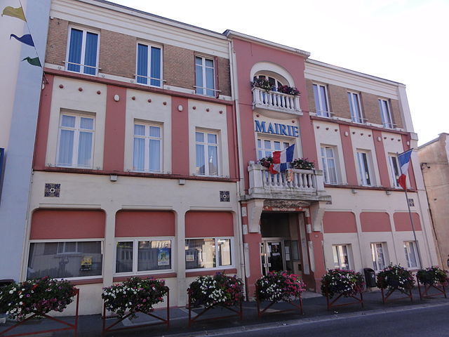
Hirson
- commune in Aisne, France
- Country:
- Postal Code: 02500
- Coordinates: 49° 55' 18" N, 4° 5' 2" E
- GPS tracks (wikiloc): [Link]
- AboveSeaLevel: 189 м m
- Area: 33.77 sq km
- Population: 9158

La Hérie
- commune in Aisne, France
- Country:
- Postal Code: 02500
- Coordinates: 49° 53' 2" N, 4° 2' 53" E
- GPS tracks (wikiloc): [Link]
- Area: 4.22 sq km
- Population: 151

Bucilly
- commune in Aisne, France
- Country:
- Postal Code: 02500
- Coordinates: 49° 52' 37" N, 4° 5' 35" E
- GPS tracks (wikiloc): [Link]
- Area: 12.85 sq km
- Population: 184
Buire
- commune in Aisne, France
- Country:
- Postal Code: 02500
- Coordinates: 49° 54' 10" N, 4° 3' 23" E
- GPS tracks (wikiloc): [Link]
- Area: 4.13 sq km
- Population: 873