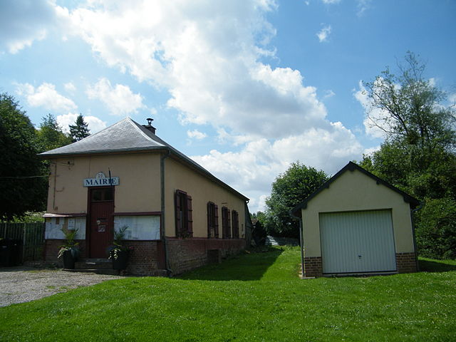
Équennes-Éramecourt (Équennes-Éramecourt)

- commune in Somme, France
- Country:

- Postal Code: 80290
- Coordinates: 49° 44' 2" N, 1° 57' 36" E


- GPS tracks (wikiloc): [Link]
- AboveSeaLevel: 187 м m
- Area: 9.08 sq km
- Population: 302
- Wikipedia en: wiki(en)
- Wikipedia: wiki(fr)
- Wikidata storage: Wikidata: Q82079
- Wikipedia Commons Category: [Link]
- Freebase ID: [/m/03nqmws]
- GeoNames ID: Alt: [6617736]
- SIREN number: [218002657]
- PACTOLS thesaurus ID: [pcrtg26E26wpIU]
- INSEE municipality code: 80276
Shares border with regions:
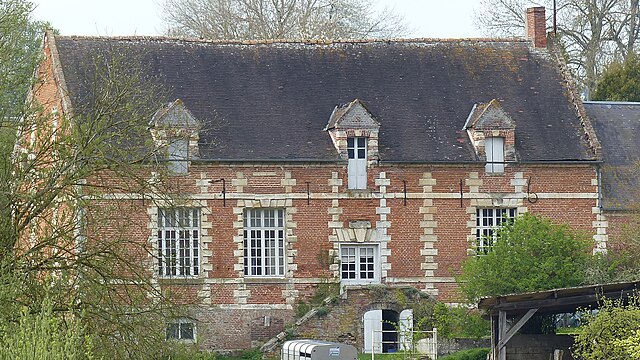
Daméraucourt
- commune in Oise, France
- Country:
- Postal Code: 60210
- Coordinates: 49° 42' 30" N, 1° 55' 39" E
- GPS tracks (wikiloc): [Link]
- Area: 8.57 sq km
- Population: 221
- Web site: [Link]


Hescamps
- commune in Somme, France
- Country:
- Postal Code: 80290
- Coordinates: 49° 43' 43" N, 1° 52' 16" E
- GPS tracks (wikiloc): [Link]
- AboveSeaLevel: 200 м m
- Area: 34.56 sq km
- Population: 523

Saulchoy-sous-Poix
- commune in Somme, France
- Country:
- Postal Code: 80290
- Coordinates: 49° 45' 25" N, 1° 56' 10" E
- GPS tracks (wikiloc): [Link]
- Area: 3.72 sq km
- Population: 67


Lachapelle
- commune in Somme, France
- Country:
- Postal Code: 80290
- Coordinates: 49° 45' 55" N, 1° 57' 26" E
- GPS tracks (wikiloc): [Link]
- AboveSeaLevel: 118 м m
- Area: 2.51 sq km
- Population: 76


Thieulloy-la-Ville
- commune in Somme, France
- Country:
- Postal Code: 80290
- Coordinates: 49° 44' 49" N, 1° 55' 48" E
- GPS tracks (wikiloc): [Link]
- Area: 3.28 sq km
- Population: 138
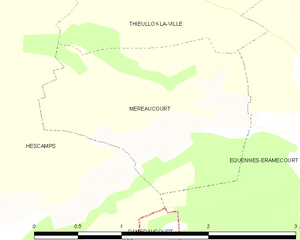
Méréaucourt
- commune in Somme, France
- Country:
- Postal Code: 80290
- Coordinates: 49° 43' 45" N, 1° 56' 3" E
- GPS tracks (wikiloc): [Link]
- AboveSeaLevel: 97 м m
- Area: 3.04 sq km
- Population: 6

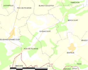
Guizancourt
- commune in Somme, France
- Country:
- Postal Code: 80290
- Coordinates: 49° 44' 10" N, 1° 59' 41" E
- GPS tracks (wikiloc): [Link]
- Area: 5.94 sq km
- Population: 117

Poix-de-Picardie
- commune in Somme, France
- Country:
- Postal Code: 80290
- Coordinates: 49° 46' 33" N, 1° 59' 3" E
- GPS tracks (wikiloc): [Link]
- AboveSeaLevel: 106 м m
- Area: 11.66 sq km
- Population: 2402
- Web site: [Link]


Dargies
- commune in Oise, France
- Country:
- Postal Code: 60210
- Coordinates: 49° 42' 5" N, 1° 59' 19" E
- GPS tracks (wikiloc): [Link]
- Area: 14.42 sq km
- Population: 250