Évaillé (Évaillé)

- commune in Sarthe, France
- Country:

- Postal Code: 72120
- Coordinates: 47° 54' 3" N, 0° 37' 46" E


- GPS tracks (wikiloc): [Link]
- Area: 19.43 sq km
- Population: 344
- Wikipedia en: wiki(en)
- Wikipedia: wiki(fr)
- Wikidata storage: Wikidata: Q1224341
- Wikipedia Commons Category: [Link]
- Freebase ID: [/m/03qkz_r]
- GeoNames ID: Alt: [6442572]
- SIREN number: [217201284]
- BnF ID: [15273684w]
- INSEE municipality code: 72128
Shares border with regions:

Tresson
- commune in Sarthe, France
- Country:
- Postal Code: 72440
- Coordinates: 47° 54' 11" N, 0° 34' 26" E
- GPS tracks (wikiloc): [Link]
- Area: 29.22 sq km
- Population: 454

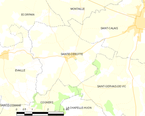
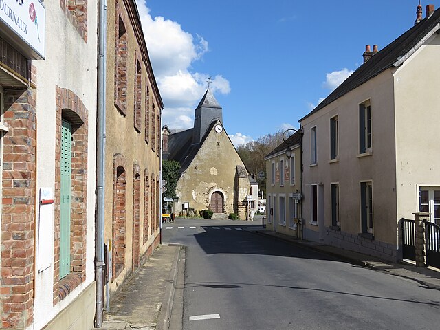
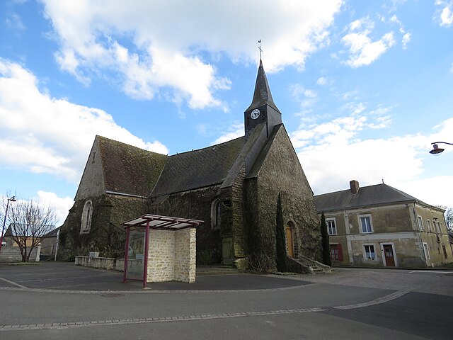
Sainte-Cérotte
- commune in Sarthe, France
- Country:
- Postal Code: 72120
- Coordinates: 47° 54' 2" N, 0° 41' 15" E
- GPS tracks (wikiloc): [Link]
- Area: 14.36 sq km
- Population: 318


Maisoncelles, Sarthe
- commune in Sarthe, France
- Country:
- Postal Code: 72440
- Coordinates: 47° 56' 9" N, 0° 34' 13" E
- GPS tracks (wikiloc): [Link]
- Area: 11.1 sq km
- Population: 189


Sainte-Osmane
- commune in Sarthe, France
- Country:
- Postal Code: 72120
- Coordinates: 47° 53' 28" N, 0° 36' 35" E
- GPS tracks (wikiloc): [Link]
- Area: 11.88 sq km
- Population: 181


Cogners
- commune in Sarthe, France
- Country:
- Postal Code: 72310
- Coordinates: 47° 52' 5" N, 0° 39' 32" E
- GPS tracks (wikiloc): [Link]
- Area: 13.6 sq km
- Population: 200

Écorpain
- commune in Sarthe, France
- Country:
- Postal Code: 72120
- Coordinates: 47° 56' 13" N, 0° 39' 43" E
- GPS tracks (wikiloc): [Link]
- Area: 21.26 sq km
- Population: 297