Achicourt (Achicourt)

- commune in Pas-de-Calais, France
- Country:

- Postal Code: 62217
- Coordinates: 50° 16' 24" N, 2° 45' 34" E


- GPS tracks (wikiloc): [Link]
- Area: 5.94 sq km
- Population: 7694
- Web site: http://www.ville-achicourt.fr
- Wikipedia en: wiki(en)
- Wikipedia: wiki(fr)
- Wikidata storage: Wikidata: Q275725
- Wikipedia Commons Category: [Link]
- Freebase ID: [/m/02vq9hx]
- GeoNames ID: Alt: [3038703]
- SIREN number: [216200048]
- BnF ID: [15268446s]
- VIAF ID: Alt: [129049260]
- Library of Congress authority ID: Alt: [n83301182]
- PACTOLS thesaurus ID: [pcrtMVSucJKBzm]
- INSEE municipality code: 62004
Shares border with regions:


Wailly
- commune in Pas-de-Calais, France
- Country:
- Postal Code: 62217
- Coordinates: 50° 14' 47" N, 2° 43' 20" E
- GPS tracks (wikiloc): [Link]
- Area: 9.83 sq km
- Population: 1105


Arras
- commune in Pas-de-Calais, France
- Country:
- Postal Code: 62000
- Coordinates: 50° 17' 21" N, 2° 46' 48" E
- GPS tracks (wikiloc): [Link]
- AboveSeaLevel: 72 м m
- Area: 11.63 sq km
- Population: 40721
- Web site: [Link]


Agny
- commune in Pas-de-Calais, France
- Country:
- Postal Code: 62217
- Coordinates: 50° 15' 36" N, 2° 45' 34" E
- GPS tracks (wikiloc): [Link]
- Area: 6.05 sq km
- Population: 1938
- Web site: [Link]


Beaurains
- commune in Pas-de-Calais, France
- Country:
- Postal Code: 62217
- Coordinates: 50° 15' 47" N, 2° 47' 19" E
- GPS tracks (wikiloc): [Link]
- Area: 5.99 sq km
- Population: 5529
- Web site: [Link]
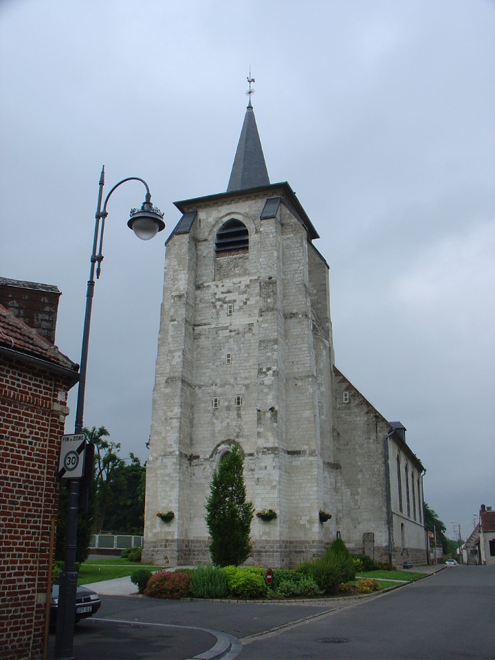
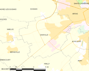
Dainville
- commune in Pas-de-Calais, France
- Country:
- Postal Code: 62000
- Coordinates: 50° 16' 55" N, 2° 43' 38" E
- GPS tracks (wikiloc): [Link]
- Area: 11.22 sq km
- Population: 5671
- Web site: [Link]