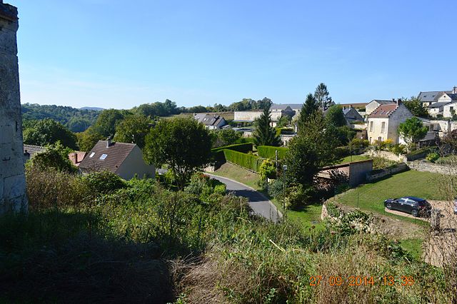
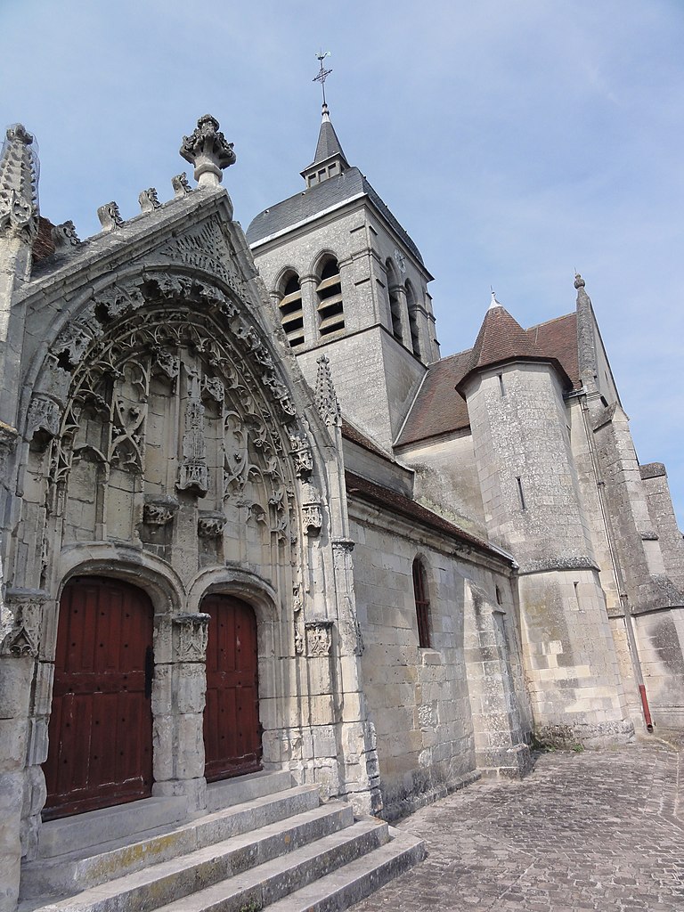
Acy (Acy)
- commune in Aisne, France
- Country:

- Postal Code: 02200
- Coordinates: 49° 20' 43" N, 3° 24' 49" E


- GPS tracks (wikiloc): [Link]
- Area: 11.67 sq km
- Population: 1011
- Web site: http://www.acy-02.fr
- Wikipedia en: wiki(en)
- Wikipedia: wiki(fr)
- Wikidata storage: Wikidata: Q677091
- Wikipedia Commons Category: [Link]
- Freebase ID: [/m/03m7h66]
- Freebase ID: [/m/03m7h66]
- SIREN number: [210200036]
- SIREN number: [210200036]
- INSEE municipality code: 02003
- INSEE municipality code: 02003
Shares border with regions:

Bucy-le-Long
- commune in Aisne, France
- Country:
- Postal Code: 02880
- Coordinates: 49° 23' 26" N, 3° 23' 38" E
- GPS tracks (wikiloc): [Link]
- Area: 12.86 sq km
- Population: 1895
- Web site: [Link]

Rozières-sur-Crise
- commune in Aisne, France
- Country:
- Postal Code: 02200
- Coordinates: 49° 19' 36" N, 3° 21' 17" E
- GPS tracks (wikiloc): [Link]
- Area: 7.32 sq km
- Population: 232

Venizel
- commune in Aisne, France
- Country:
- Postal Code: 02200
- Coordinates: 49° 21' 56" N, 3° 23' 32" E
- GPS tracks (wikiloc): [Link]
- Area: 3.71 sq km
- Population: 1365
Ambrief
- commune in Aisne, France
- Country:
- Postal Code: 02200
- Coordinates: 49° 19' 8" N, 3° 24' 5" E
- GPS tracks (wikiloc): [Link]
- Area: 4.5 sq km
- Population: 70
- Web site: [Link]

Sermoise
- commune in Aisne, France
- Country:
- Postal Code: 02220
- Coordinates: 49° 22' 23" N, 3° 27' 1" E
- GPS tracks (wikiloc): [Link]
- Area: 5.51 sq km
- Population: 340

Chacrise
- commune in Aisne, France
- Country:
- Postal Code: 02200
- Coordinates: 49° 18' 20" N, 3° 24' 12" E
- GPS tracks (wikiloc): [Link]
- Area: 12.74 sq km
- Population: 357

Billy-sur-Aisne
- commune in Aisne, France
- Country:
- Postal Code: 02200
- Coordinates: 49° 21' 22" N, 3° 22' 59" E
- GPS tracks (wikiloc): [Link]
- Area: 7.47 sq km
- Population: 1170
Missy-sur-Aisne
- commune in Aisne, France
- Country:
- Postal Code: 02880
- Coordinates: 49° 23' 12" N, 3° 26' 8" E
- GPS tracks (wikiloc): [Link]
- Area: 3.25 sq km
- Population: 648

Serches
- commune in Aisne, France
- Country:
- Postal Code: 02220
- Coordinates: 49° 20' 22" N, 3° 26' 53" E
- GPS tracks (wikiloc): [Link]
- Area: 9.1 sq km
- Population: 311

Ciry-Salsogne
- commune in Aisne, France
- Country:
- Postal Code: 02220
- Coordinates: 49° 21' 43" N, 3° 27' 43" E
- GPS tracks (wikiloc): [Link]
- Area: 8.95 sq km
- Population: 918