Agonac (Agonac)
- commune in Dordogne, France
- Country:

- Postal Code: 24460
- Coordinates: 45° 17' 34" N, 0° 45' 1" E


- GPS tracks (wikiloc): [Link]
- Area: 37.22 sq km
- Population: 1750
- Web site: http://www.agonac.com
- Wikipedia en: wiki(en)
- Wikipedia: wiki(fr)
- Wikidata storage: Wikidata: Q861377
- Wikipedia Commons Category: [Link]
- Freebase ID: [/m/0264b28]
- Freebase ID: [/m/0264b28]
- GeoNames ID: Alt: [3038591]
- GeoNames ID: Alt: [3038591]
- SIREN number: [212400022]
- SIREN number: [212400022]
- BnF ID: [152516542]
- BnF ID: [152516542]
- PACTOLS thesaurus ID: [pcrttnAMeShaZy]
- PACTOLS thesaurus ID: [pcrttnAMeShaZy]
- INSEE municipality code: 24002
- INSEE municipality code: 24002
Shares border with regions:


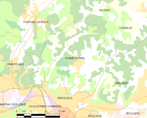
Champcevinel
- commune in Dordogne, France
- Country:

- Postal Code: 24750
- Coordinates: 45° 12' 53" N, 0° 43' 35" E


- GPS tracks (wikiloc): [Link]
- Area: 17.72 sq km
- Population: 2840
- Web site: [Link]


Château-l'Évêque
- commune in Dordogne, France
- Country:

- Postal Code: 24460
- Coordinates: 45° 14' 43" N, 0° 41' 8" E


- GPS tracks (wikiloc): [Link]
- Area: 35.68 sq km
- Population: 2128
- Web site: [Link]


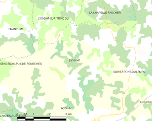
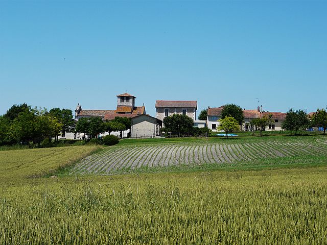
Eyvirat
- commune in Dordogne, France
- Country:

- Postal Code: 24460
- Coordinates: 45° 19' 21" N, 0° 45' 11" E


- GPS tracks (wikiloc): [Link]
- Area: 17.95 sq km
- Population: 290


Cornille
- commune in Dordogne, France
- Country:

- Postal Code: 24750
- Coordinates: 45° 15' 5" N, 0° 47' 4" E


- GPS tracks (wikiloc): [Link]
- Area: 13.04 sq km
- Population: 673
- Web site: [Link]
