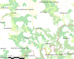
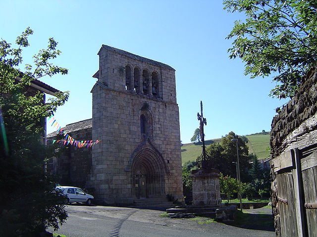
Alleyrac (Alleyrac)

- commune in Haute-Loire, France
- Country:

- Postal Code: 43150
- Coordinates: 44° 53' 25" N, 3° 59' 11" E


- GPS tracks (wikiloc): [Link]
- Area: 11.34 sq km
- Population: 116
- Wikipedia en: wiki(en)
- Wikipedia: wiki(fr)
- Wikidata storage: Wikidata: Q250436
- Wikipedia Commons Category: [Link]
- Freebase ID: [/m/03nt7bw]
- GeoNames ID: Alt: [3038127]
- SIREN number: [214300048]
- BnF ID: [152599090]
- INSEE municipality code: 43004
Shares border with regions:


Présailles
- commune in Haute-Loire, France
- Country:
- Postal Code: 43150
- Coordinates: 44° 54' 6" N, 4° 1' 41" E
- GPS tracks (wikiloc): [Link]
- Area: 22.23 sq km
- Population: 137

Salettes
- commune in Haute-Loire, France
- Country:
- Postal Code: 43150
- Coordinates: 44° 51' 48" N, 3° 57' 55" E
- GPS tracks (wikiloc): [Link]
- AboveSeaLevel: 930 м m
- Area: 20.28 sq km
- Population: 140

Saint-Martin-de-Fugères
- commune in Haute-Loire, France
- Country:
- Postal Code: 43150
- Coordinates: 44° 54' 21" N, 3° 56' 4" E
- GPS tracks (wikiloc): [Link]
- Area: 20.87 sq km
- Population: 218


Le Monastier-sur-Gazeille
- commune in Haute-Loire, France
- Country:
- Postal Code: 43150
- Coordinates: 44° 56' 21" N, 3° 59' 43" E
- GPS tracks (wikiloc): [Link]
- AboveSeaLevel: 950 м m
- Area: 39.39 sq km
- Population: 1791
- Web site: [Link]