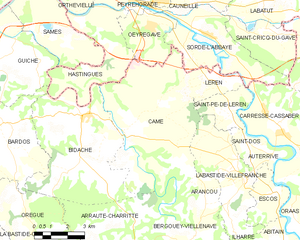
Arancou (Arancou)

- commune in Pyrénées-Atlantiques, France
- Country:

- Postal Code: 64270
- Coordinates: 43° 26' 37" N, 1° 3' 3" E


- GPS tracks (wikiloc): [Link]
- Area: 5.3 sq km
- Population: 155
- Web site: http://www.arancou.fr
- Wikipedia en: wiki(en)
- Wikipedia: wiki(fr)
- Wikidata storage: Wikidata: Q197127
- Wikipedia Commons Category: [Link]
- Freebase ID: [/m/08f5bk]
- Freebase ID: [/m/08f5bk]
- GeoNames ID: Alt: [6450372]
- GeoNames ID: Alt: [6450372]
- SIREN number: [216405878]
- SIREN number: [216405878]
- BnF ID: [15269854r]
- BnF ID: [15269854r]
- OSM relation ID: [2460541]
- OSM relation ID: [2460541]
- PACTOLS thesaurus ID: [pcrtniOjma689M]
- PACTOLS thesaurus ID: [pcrtniOjma689M]
- INSEE municipality code: 64031
- INSEE municipality code: 64031
Shares border with regions:

Came
- commune in Pyrénées-Atlantiques, France
- Country:
- Postal Code: 64520
- Coordinates: 43° 28' 23" N, 1° 6' 38" E
- GPS tracks (wikiloc): [Link]
- Area: 33.9 sq km
- Population: 935

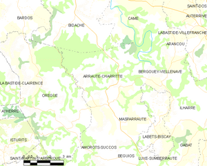
Arraute-Charritte
- commune in Pyrénées-Atlantiques, France
- Country:
- Postal Code: 64120
- Coordinates: 43° 23' 55" N, 1° 6' 24" E
- GPS tracks (wikiloc): [Link]
- Area: 22.81 sq km
- Population: 373


Bergouey-Viellenave
- commune in Pyrénées-Atlantiques, France
- Country:
- Postal Code: 64270
- Coordinates: 43° 25' 22" N, 1° 3' 24" E
- GPS tracks (wikiloc): [Link]
- AboveSeaLevel: 73 м m
- Area: 11.37 sq km
- Population: 119


Labastide-Villefranche
- commune in Pyrénées-Atlantiques, France
- Country:
- Postal Code: 64270
- Coordinates: 43° 27' 10" N, 1° 1' 14" E
- GPS tracks (wikiloc): [Link]
- Area: 15.27 sq km
- Population: 362
- Web site: [Link]