Arbrissel (Arbrissel)

- commune in Ille-et-Vilaine, France
- Country:

- Postal Code: 35130
- Coordinates: 47° 55' 38" N, 1° 18' 10" E


- GPS tracks (wikiloc): [Link]
- Area: 4.62 sq km
- Population: 299
- Wikipedia en: wiki(en)
- Wikipedia: wiki(fr)
- Wikidata storage: Wikidata: Q193614
- Wikipedia Commons Category: [Link]
- Freebase ID: [/m/03c8l5n]
- Freebase ID: [/m/03c8l5n]
- GeoNames ID: Alt: [3037267]
- GeoNames ID: Alt: [3037267]
- SIREN number: [213500051]
- SIREN number: [213500051]
- BnF ID: [15256949h]
- BnF ID: [15256949h]
- OSM relation ID: [106684]
- OSM relation ID: [106684]
- PACTOLS thesaurus ID: [pcrtLc6YEsmUXP]
- PACTOLS thesaurus ID: [pcrtLc6YEsmUXP]
- INSEE municipality code: 35005
- INSEE municipality code: 35005
Shares border with regions:


Visseiche
- commune in Ille-et-Vilaine, France
- Country:
- Postal Code: 35130
- Coordinates: 47° 57' 21" N, 1° 18' 3" E
- GPS tracks (wikiloc): [Link]
- Area: 16.03 sq km
- Population: 801
- Web site: [Link]


Rannée
- commune in Ille-et-Vilaine, France
- Country:
- Postal Code: 35130
- Coordinates: 47° 55' 26" N, 1° 14' 28" E
- GPS tracks (wikiloc): [Link]
- Area: 51.95 sq km
- Population: 1110

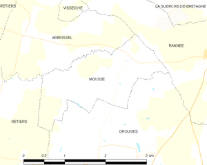
Moussé
- commune in Ille-et-Vilaine, France
- Country:
- Postal Code: 35130
- Coordinates: 47° 55' 23" N, 1° 16' 12" E
- GPS tracks (wikiloc): [Link]
- Area: 3.37 sq km
- Population: 324

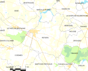
Retiers
- commune in Ille-et-Vilaine, France
- Country:
- Postal Code: 35240
- Coordinates: 47° 54' 48" N, 1° 22' 55" E
- GPS tracks (wikiloc): [Link]
- Area: 41.38 sq km
- Population: 4267
- Web site: [Link]