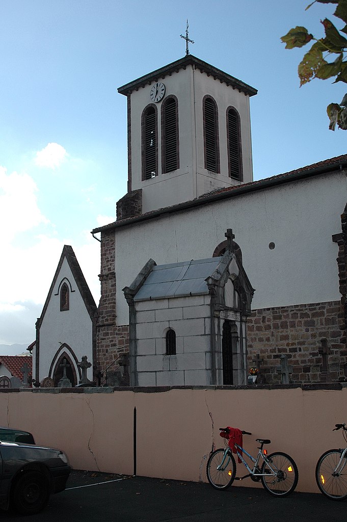
Arnéguy (Arnéguy)
- commune in Pyrénées-Atlantiques, France
- Country:

- Postal Code: 64220
- Coordinates: 43° 6' 33" N, 1° 16' 52" E


- GPS tracks (wikiloc): [Link]
- Area: 21.21 sq km
- Population: 234
- Web site: http://www.arneguy.fr
- Wikipedia en: wiki(en)
- Wikipedia: wiki(fr)
- Wikidata storage: Wikidata: Q275901
- Wikipedia Commons Category: [Link]
- Freebase ID: [/m/08f4sd]
- Freebase ID: [/m/08f4sd]
- GeoNames ID: Alt: [3036857]
- GeoNames ID: Alt: [3036857]
- SIREN number: [216400473]
- SIREN number: [216400473]
- BnF ID: [152698700]
- BnF ID: [152698700]
- PACTOLS thesaurus ID: [pcrtuMjhWDSTyu]
- PACTOLS thesaurus ID: [pcrtuMjhWDSTyu]
- TGN ID: [7345952]
- TGN ID: [7345952]
- INSEE municipality code: 64047
- INSEE municipality code: 64047
Shares border with regions:


Lasse
- commune in Pyrénées-Atlantiques, France
- Country:

- Postal Code: 64220
- Coordinates: 43° 9' 26" N, 1° 15' 36" E


- GPS tracks (wikiloc): [Link]
- Area: 14.79 sq km
- Population: 326


Saint-Michel
- commune in Pyrénées-Atlantiques, France
- Country:

- Postal Code: 64220
- Coordinates: 43° 8' 10" N, 1° 13' 16" E


- GPS tracks (wikiloc): [Link]
- Area: 30.3 sq km
- Population: 288


Uhart-Cize
- commune in Pyrénées-Atlantiques, France
- Country:

- Postal Code: 64220
- Coordinates: 43° 9' 53" N, 1° 14' 40" E


- GPS tracks (wikiloc): [Link]
- Area: 11.66 sq km
- Population: 798
