arrondissement of Angers (arrondissement d'Angers)

- arrondissement of France
- Country:

- Capital: Angers
- Coordinates: 47° 30' 0" N, 0° 40' 0" E


- GPS tracks (wikiloc): [Link]
- Area: 2127 sq km
- Population: 378916
- Wikipedia en: wiki(en)
- Wikipedia: wiki(fr)
- Wikidata storage: Wikidata: Q700420
- Freebase ID: [/m/095b_l]
- GeoNames ID: Alt: [3037655]
- INSEE arrondissement code: [491]
- GNS Unique Feature ID: -1407647
Includes regions:


canton of Beaufort-en-Vallée
- canton of France
- Country:
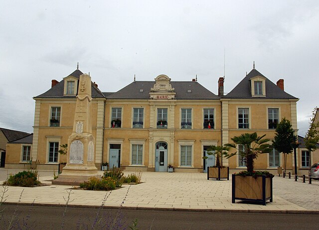
- Capital: Beaufort-en-Vallée
- Coordinates: 47° 27' 24" N, 0° 14' 20" E
- GPS tracks (wikiloc): [Link]
- Population: 33220

canton of Le Louroux-Béconnais
- canton of France
- Country:
- Capital: Le Louroux-Béconnais
- Coordinates: 47° 29' 29" N, 0° 51' 48" E
- GPS tracks (wikiloc): [Link]

canton of Saint-Georges-sur-Loire
- canton of France
- Country:
- Capital: Saint-Georges-sur-Loire
- Coordinates: 47° 24' 43" N, 0° 44' 40" E
- GPS tracks (wikiloc): [Link]

canton of Tiercé
- canton of France
- Country:
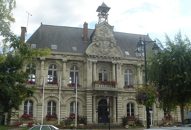
- Capital: Tiercé
- Coordinates: 47° 35' 34" N, 0° 30' 6" E
- GPS tracks (wikiloc): [Link]
- Population: 41177

canton of Seiches-sur-le-Loir
- canton of France (until March 2015)
- Country:
- Capital: Seiches-sur-le-Loir
- Coordinates: 47° 33' 12" N, 0° 17' 38" E
- GPS tracks (wikiloc): [Link]

canton of Chalonnes-sur-Loire
- canton of France
- Country:
- Capital: Chalonnes-sur-Loire
- Coordinates: 47° 20' 50" N, 0° 40' 46" E
- GPS tracks (wikiloc): [Link]
- Population: 35513


canton of Ponts-de-Cé
- canton of France
- Country:
- Capital: Les Ponts-de-Cé
- Coordinates: 47° 24' 0" N, 0° 27' 52" E
- GPS tracks (wikiloc): [Link]
- Area: 206.69 sq km
- Population: 36628