arrondissement of Châtellerault (arrondissement de Châtellerault)

- arrondissement of France
- Country:

- Capital: Châtellerault
- Coordinates: 46° 50' 0" N, 0° 20' 0" E


- GPS tracks (wikiloc): [Link]
- Area: 2065 sq km
- Population: 109206
- Wikipedia en: wiki(en)
- Wikipedia: wiki(fr)
- Wikidata storage: Wikidata: Q700998
- Freebase ID: [/m/095g1d]
- GeoNames ID: Alt: [3026140]
- INSEE arrondissement code: [861]
- GNS Unique Feature ID: -1419206
Includes regions:

canton of Trois-Moutiers
- canton of France (until March 2015)
- Country:
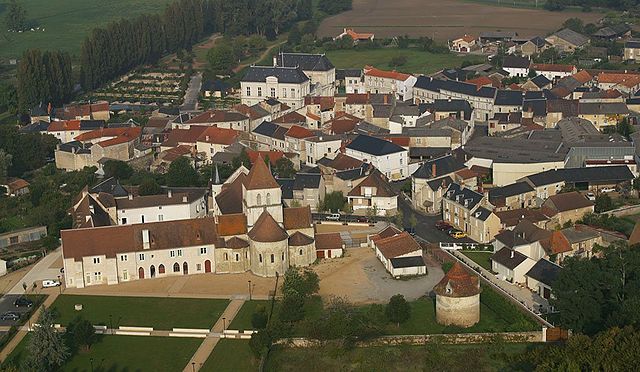
- Capital: Les Trois-Moutiers
- Coordinates: 47° 4' 12" N, 0° 0' 27" E
- GPS tracks (wikiloc): [Link]

canton of Châtellerault-Nord
- canton of France (until March 2015)
- Country:
- Capital: Châtellerault
- Coordinates: 46° 48' 47" N, 0° 35' 5" E
- GPS tracks (wikiloc): [Link]
canton of Lencloître
- canton of France (until March 2015)
- Country:
- Capital: Lencloître
- Coordinates: 46° 50' 4" N, 0° 20' 20" E
- GPS tracks (wikiloc): [Link]
canton of Châtellerault-Ouest
- canton of France (until March 2015)
- Country:
- Capital: Châtellerault
- Coordinates: 46° 48' 23" N, 0° 28' 32" E
- GPS tracks (wikiloc): [Link]
canton of Châtellerault-Sud
- canton of France
- Country:
- Capital: Châtellerault
- Coordinates: 46° 47' 12" N, 0° 32' 51" E
- GPS tracks (wikiloc): [Link]

canton of Dangé-Saint-Romain
- canton of France
- Country:
- Capital: Dangé-Saint-Romain
- Coordinates: 46° 56' 19" N, 0° 38' 3" E
- GPS tracks (wikiloc): [Link]


canton of Loudun
- canton of France
- Country:
- Capital: Loudun
- Coordinates: 47° 0' 16" N, 0° 7' 21" E
- GPS tracks (wikiloc): [Link]
- Population: 26563
canton of Moncontour
- canton of France
- Country:
- Capital: Moncontour
- Coordinates: 46° 53' 0" N, 0° 1' 0" E
- GPS tracks (wikiloc): [Link]

canton of Monts-sur-Guesnes
- canton of France
- Country:
- Capital: Monts-sur-Guesnes
- Coordinates: 46° 54' 21" N, 0° 16' 14" E
- GPS tracks (wikiloc): [Link]

canton of Vouneuil-sur-Vienne
- canton of France
- Country:
- Capital: Vouneuil-sur-Vienne
- Coordinates: 46° 42' 55" N, 0° 33' 54" E
- GPS tracks (wikiloc): [Link]

Châtellerault
- commune in Vienne, France
- Country:
- Postal Code: 86100
- Coordinates: 46° 49' 1" N, 0° 32' 43" E
- GPS tracks (wikiloc): [Link]
- AboveSeaLevel: 60 м m
- Area: 51.93 sq km
- Population: 31809
- Web site: [Link]

canton of Saint-Gervais-les-Trois-Clochers
- canton of France (until March 2015)
- Country:
- Capital: Saint-Gervais-les-Trois-Clochers
- Coordinates: 46° 54' 25" N, 0° 28' 13" E
- GPS tracks (wikiloc): [Link]

canton of Pleumartin
- canton of France (until March 2015)
- Country:
- Capital: Pleumartin
- Coordinates: 46° 45' 57" N, 0° 45' 26" E
- GPS tracks (wikiloc): [Link]