arrondissement of Le Havre (arrondissement du Havre)
- arrondissement of France
- Country:

- Capital: Le Havre
- Coordinates: 49° 35' 0" N, 0° 20' 0" E


- GPS tracks (wikiloc): [Link]
- Area: 1330 sq km
- Population: 389248
- Wikipedia en: wiki(en)
- Wikipedia: wiki(fr)
- Wikidata storage: Wikidata: Q701434
- Freebase ID: [/m/0954yn]
- GeoNames ID: Alt: [3013633]
- VIAF ID: Alt: [142013721]
- Library of Congress authority ID: Alt: [n88658098]
- INSEE arrondissement code: [762]
- GNS Unique Feature ID: -1431746
Includes regions:
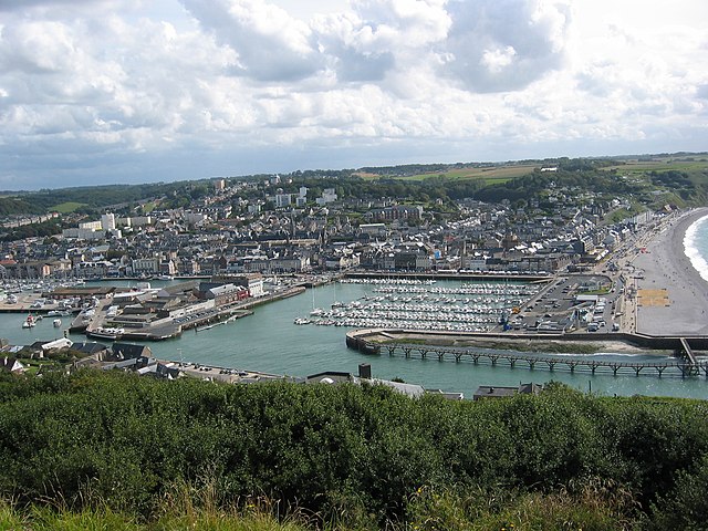
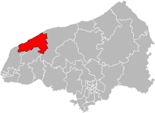
canton of Fécamp
- canton of France
- Country:

- Capital: Fécamp
- Coordinates: 49° 43' 33" N, 0° 20' 56" E


- GPS tracks (wikiloc): [Link]
- Population: 39918
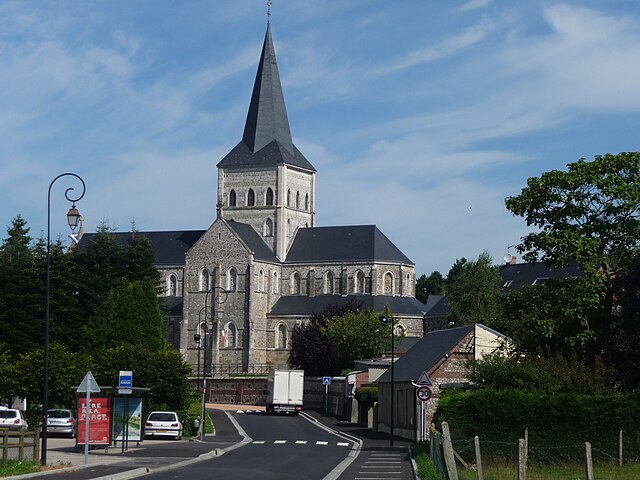
canton of Ourville-en-Caux
- canton of France (until March 2015)
- Country:

- Capital: Ourville-en-Caux
- Coordinates: 49° 43' 12" N, 0° 41' 2" E


- GPS tracks (wikiloc): [Link]

canton of Goderville
- canton of France (until March 2015)
- Country:

- Capital: Goderville
- Coordinates: 49° 39' 7" N, 0° 24' 21" E


- GPS tracks (wikiloc): [Link]
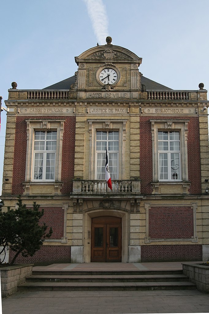

canton of Saint-Romain-de-Colbosc
- canton of France
- Country:

- Capital: Saint-Romain-de-Colbosc
- Coordinates: 49° 31' 45" N, 0° 20' 45" E


- GPS tracks (wikiloc): [Link]
- Population: 33407

canton of Montivilliers
- canton of France (until March 2015)
- Country:

- Capital: Montivilliers
- Coordinates: 49° 33' 58" N, 0° 11' 22" E


- GPS tracks (wikiloc): [Link]
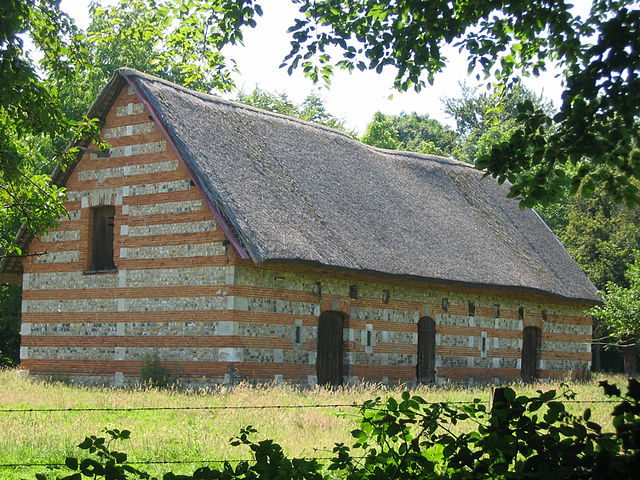
canton of Gonfreville-l'Orcher
- canton of France
- Country:

- Capital: Gonfreville-l'Orcher
- Coordinates: 49° 30' 35" N, 0° 13' 56" E


- GPS tracks (wikiloc): [Link]

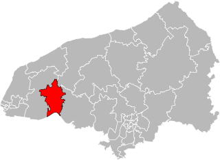
canton of Bolbec
- canton of France
- Country:

- Capital: Bolbec
- Coordinates: 49° 35' 7" N, 0° 29' 24" E


- GPS tracks (wikiloc): [Link]
- Area: 158.06 sq km
- Population: 38679

canton of Criquetot-l'Esneval
- canton of France
- Country:

- Capital: Criquetot-l'Esneval
- Coordinates: 49° 39' 5" N, 0° 13' 56" E


- GPS tracks (wikiloc): [Link]

canton of Fauville-en-Caux
- canton of France (until March 2015)
- Country:

- Capital: Fauville-en-Caux
- Coordinates: 49° 38' 58" N, 0° 36' 24" E


- GPS tracks (wikiloc): [Link]
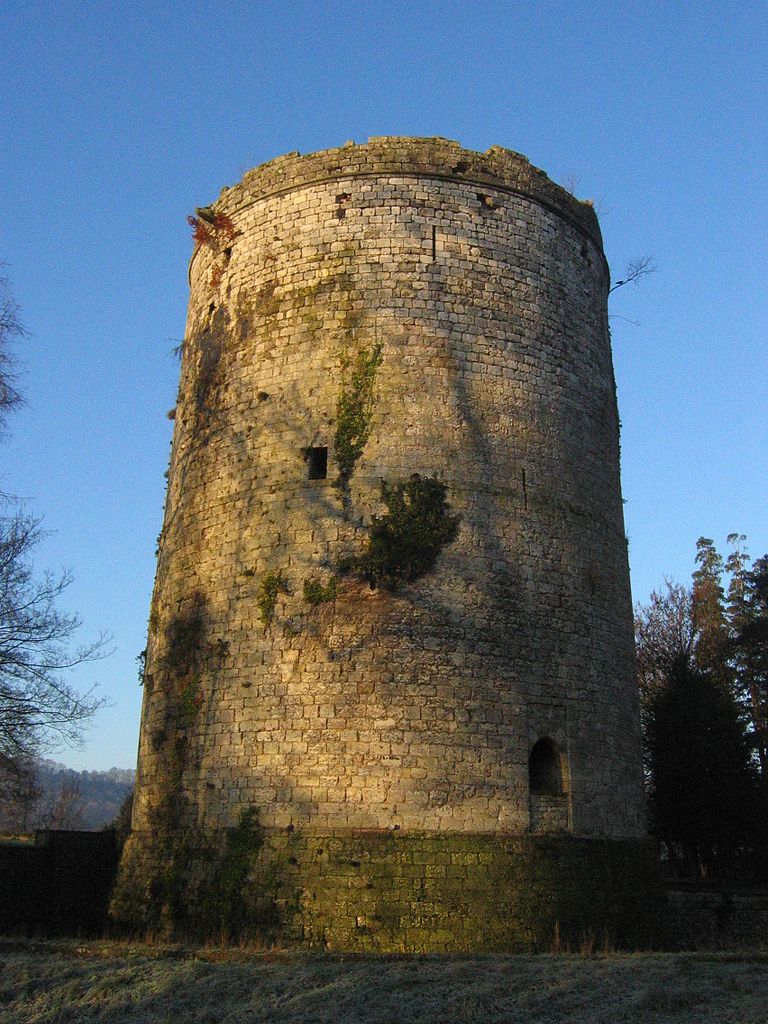
canton of Lillebonne
- canton of France (until March 2015)
- Country:

- Capital: Lillebonne
- Coordinates: 49° 30' 46" N, 0° 33' 23" E


- GPS tracks (wikiloc): [Link]

canton of Valmont
- canton of France (until March 2015)
- Country:

- Capital: Valmont, Seine-Maritime
- Coordinates: 49° 45' 16" N, 0° 30' 27" E


- GPS tracks (wikiloc): [Link]
