arrondissement of Moulins (arrondissement de Moulins)
- arrondissement of France
- Country:

- Capital: Moulins
- Coordinates: 46° 30' 0" N, 3° 20' 0" E


- GPS tracks (wikiloc): [Link]
- Area: 2296 sq km
- Population: 106147
- Wikipedia en: wiki(en)
- Wikipedia: wiki(fr)
- Wikidata storage: Wikidata: Q701834
- Freebase ID: [/m/095j3j]
- GeoNames ID: Alt: [2991477]
- INSEE arrondissement code: [032]
- GNS Unique Feature ID: -1453952
Includes regions:


canton of Neuilly-le-Réal
- canton of France
- Country:
- Capital: Neuilly-le-Réal
- Coordinates: 46° 27' 54" N, 3° 25' 57" E
- GPS tracks (wikiloc): [Link]
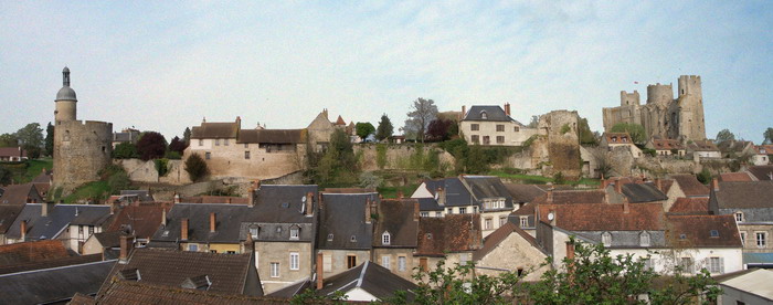

canton of Bourbon-l'Archambault
- canton of France
- Country:
- Capital: Bourbon-l'Archambault
- Coordinates: 46° 35' 3" N, 3° 3' 26" E
- GPS tracks (wikiloc): [Link]
- Population: 16701


canton of Dompierre-sur-Besbre
- canton of France
- Country:
- Capital: Dompierre-sur-Besbre
- Coordinates: 46° 31' 23" N, 3° 40' 55" E
- GPS tracks (wikiloc): [Link]
- Population: 20570


canton of Saint-Pourçain-sur-Sioule
- canton of France
- Country:
- Capital: Saint-Pourçain-sur-Sioule
- Coordinates: 46° 18' 30" N, 3° 17' 24" E
- GPS tracks (wikiloc): [Link]
- Population: 19337
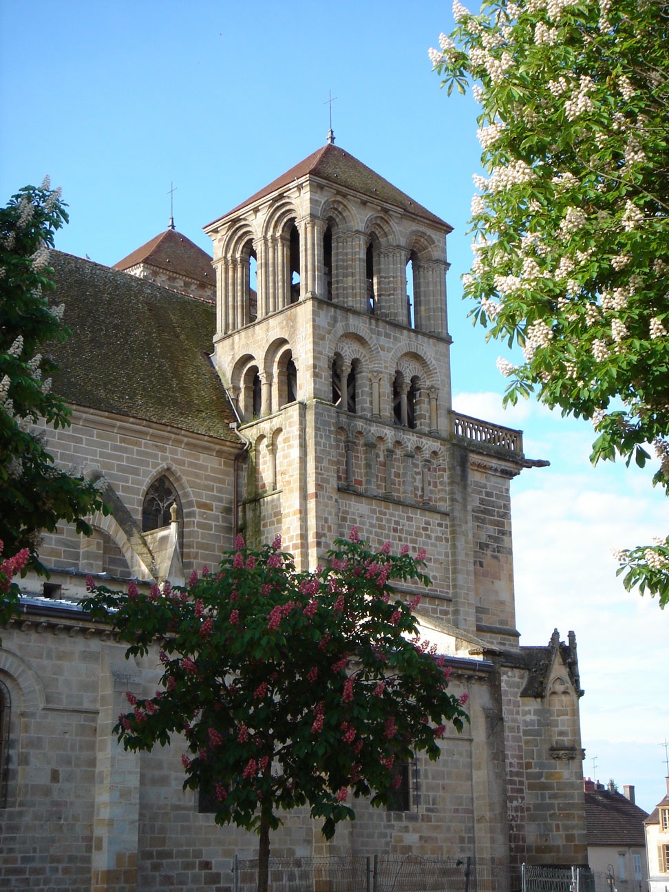

canton of Souvigny
- canton of France
- Country:
- Capital: Souvigny
- Coordinates: 46° 32' 8" N, 3° 11' 34" E
- GPS tracks (wikiloc): [Link]
- Population: 15105

canton of Lurcy-Lévis
- canton of France (until March 2015)
- Country:
- Capital: Lurcy-Lévis
- Coordinates: 46° 43' 50" N, 2° 56' 21" E
- GPS tracks (wikiloc): [Link]


canton of Yzeure
- canton of France
- Country:
- Capital: Yzeure
- Coordinates: 46° 34' 1" N, 3° 21' 19" E
- GPS tracks (wikiloc): [Link]
- Population: 17539