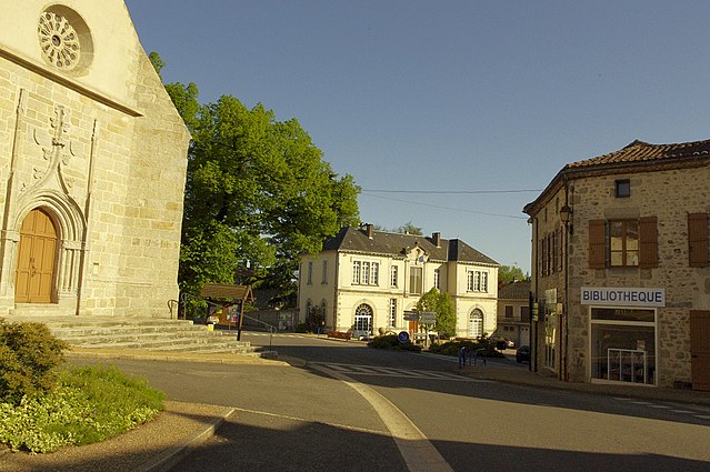
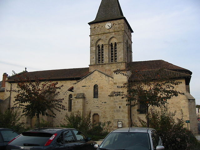
arrondissement of Rochechouart (arrondissement de Rochechouart)
- arrondissement of France
- Country:

- Capital: Rochechouart
- Coordinates: 45° 44' 59" N, 0° 49' 32" E


- GPS tracks (wikiloc): [Link]
- Area: 795 sq km
- Population: 37878
- Wikipedia en: wiki(en)
- Wikipedia: wiki(fr)
- Wikidata storage: Wikidata: Q702227
- Freebase ID: [/m/095hdt]
- GeoNames ID: Alt: [2983290]
- Library of Congress authority ID: Alt: [n82163478]
- INSEE arrondissement code: [873]
Includes regions:

canton of Saint-Junien-Ouest
- canton of France (until March 2015)
- Country:

- Capital: Saint-Junien
- Coordinates: 45° 52' 46" N, 0° 51' 47" E


- GPS tracks (wikiloc): [Link]


canton of Saint-Mathieu
- canton of France (until March 2015)
- Country:

- Capital: Saint-Mathieu
- Coordinates: 45° 39' 19" N, 0° 48' 25" E


- GPS tracks (wikiloc): [Link]

canton of Oradour-sur-Vayres
- canton of France
- Country:

- Capital: Oradour-sur-Vayres
- Coordinates: 45° 43' 2" N, 0° 53' 1" E


- GPS tracks (wikiloc): [Link]

canton of Saint-Junien-Est
- canton of France
- Country:

- Capital: Saint-Junien
- Coordinates: 45° 54' 18" N, 0° 58' 15" E


- GPS tracks (wikiloc): [Link]

canton of Saint-Laurent-sur-Gorre
- canton of France
- Country:

- Capital: Saint-Laurent-sur-Gorre
- Coordinates: 45° 48' 12" N, 0° 58' 56" E


- GPS tracks (wikiloc): [Link]


canton of Rochechouart
- canton of France
- Country:

- Capital: Rochechouart
- Coordinates: 45° 46' 31" N, 0° 45' 54" E


- GPS tracks (wikiloc): [Link]
- Population: 17448