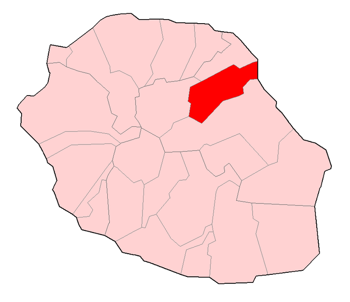
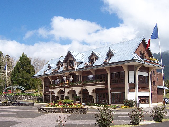
arrondissement of Saint-Benoît (arrondissement de Saint-Benoît)
- arrondissement of France
- Country:

- Capital: Saint-Benoît
- Coordinates: 21° 5' 0" S, 55° 40' 0" W


- GPS tracks (wikiloc): [Link]
- Population: 126567
- Wikipedia en: wiki(en)
- Wikipedia: wiki(fr)
- Wikidata storage: Wikidata: Q702279
- Freebase ID: [/m/09533g]
- GeoNames ID: Alt: [935266]
- INSEE arrondissement code: [9743]
Includes regions:

canton of Sainte-Rose
- canton of France (until March 2015)
- Country:

- Capital: Sainte-Rose
- Coordinates: 21° 0' 11" S, 55° 37' 13" W


- GPS tracks (wikiloc): [Link]


canton of Saint-Benoît-1
- canton of France
- Country:

- Capital: Saint-Benoît
- Coordinates: 20° 57' 23" S, 55° 34' 50" W


- GPS tracks (wikiloc): [Link]
- Population: 36715


canton of Saint-Benoît-2
- canton of France
- Country:

- Capital: Saint-Benoît
- Coordinates: 20° 57' 23" S, 55° 34' 50" W


- GPS tracks (wikiloc): [Link]

canton of Bras-Panon
- canton on Réunion
- Country:

- Capital: Bras-Panon
- Coordinates: 20° 56' 14" S, 55° 33' 44" W


- GPS tracks (wikiloc): [Link]


canton of Saint-André-2
- canton of France
- Country:

- Capital: Saint-André
- Coordinates: 20° 55' 11" S, 55° 32' 58" W


- GPS tracks (wikiloc): [Link]
- Population: 32284

canton of La Plaine-des-Palmistes
- canton of France (until March 2015)
- Country:

- Capital: La Plaine-des-Palmistes
- Coordinates: 21° 0' 25" S, 55° 32' 13" W


- GPS tracks (wikiloc): [Link]


canton of Saint-André-1
- canton of France
- Country:

- Capital: Saint-André
- Coordinates: 20° 55' 11" S, 55° 32' 58" W


- GPS tracks (wikiloc): [Link]


canton of Saint-André-3
- canton of France
- Country:

- Capital: Saint-André
- Coordinates: 20° 55' 11" S, 55° 32' 58" W


- GPS tracks (wikiloc): [Link]

