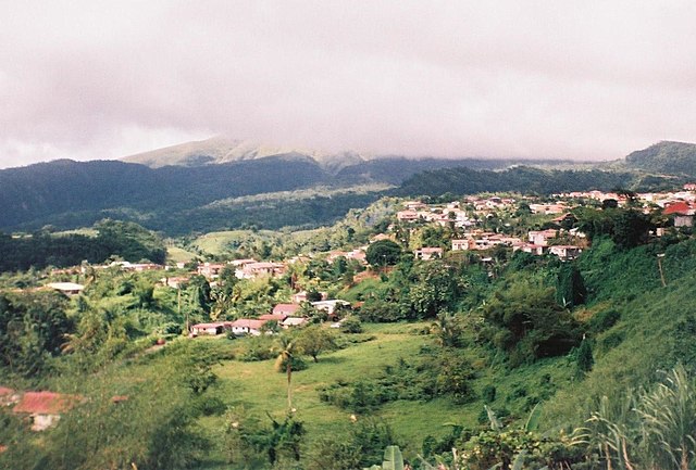
arrondissement of Saint-Pierre, Martinique (arrondissement de Saint-Pierre)
- arrondissement of France
- Country:

- Capital: Saint-Pierre
- Coordinates: 14° 44' 46" N, 61° 10' 33" E


- GPS tracks (wikiloc): [Link]
- AboveSeaLevel: 76 м m
- Area: 210 sq km
- Population: 23127
- Wikipedia en: wiki(en)
- Wikipedia: wiki(fr)
- Wikidata storage: Wikidata: Q702429
- Freebase ID: [/m/0952_s]
- GeoNames ID: Alt: [3569906]
- INSEE arrondissement code: [9724]
Includes regions:

canton of Le Prêcheur
- canton of France
- Country:

- Capital: Le Prêcheur
- Coordinates: 14° 48' 0" N, 61° 13' 0" E


- GPS tracks (wikiloc): [Link]
- Area: 29.92 sq km

canton of Saint-Pierre
- canton of France
- Country:

- Capital: Saint-Pierre
- Coordinates: 14° 36' 0" N, 60° 58' 0" E


- GPS tracks (wikiloc): [Link]
- Area: 63.00 sq km

canton of Le Morne-Rouge
- canton in the Arrondissement of Saint-Pierre on Martinique
- Country:

- Capital: Le Morne-Rouge
- Coordinates: 14° 46' 8" N, 61° 8' 12" E


- GPS tracks (wikiloc): [Link]
- Area: 37.64 sq km

canton of Case-Pilote-Bellefontaine
- canton of France (until March 2015)
- Country:

- Capital: Case-Pilote
- Coordinates: 14° 38' 34" N, 61° 8' 19" E


- GPS tracks (wikiloc): [Link]

