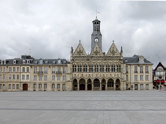
arrondissement of Saint-Quentin (arrondissement de Saint-Quentin)
- arrondissement of France
- Country:

- Capital: Saint-Quentin
- Coordinates: 49° 50' 0" N, 3° 20' 0" E


- GPS tracks (wikiloc): [Link]
- Population: 130505
- Wikipedia en: wiki(en)
- Wikipedia: wiki(fr)
- Wikidata storage: Wikidata: Q702444
- Freebase ID: [/m/0954l5]
- GeoNames ID: Alt: [2977293]
- INSEE arrondissement code: [023]
- GNS Unique Feature ID: -1468172
Includes regions:


canton of Saint-Quentin-Nord
- canton of France (until March 2015)
- Country:

- Capital: Saint-Quentin
- Coordinates: 49° 51' 0" N, 3° 17' 0" E


- GPS tracks (wikiloc): [Link]
- Area: 83.78 sq km
- Population: 24654

canton of Saint-Quentin-Centre
- canton of France (until March 2015)
- Country:

- Capital: Saint-Quentin
- Coordinates: 49° 51' 0" N, 3° 17' 0" E


- GPS tracks (wikiloc): [Link]

canton of Moÿ-de-l'Aisne
- canton of France (until March 2015)
- Country:

- Capital: Moÿ-de-l'Aisne
- Coordinates: 49° 45' 0" N, 3° 22' 0" E


- GPS tracks (wikiloc): [Link]

canton of Saint-Simon
- canton of France (until March 2015)
- Country:

- Capital: Saint-Simon
- Coordinates: 49° 44' 34" N, 3° 10' 22" E


- GPS tracks (wikiloc): [Link]


canton of Bohain-en-Vermandois
- canton of France
- Country:

- Capital: Bohain-en-Vermandois
- Coordinates: 49° 58' 0" N, 3° 27' 0" E


- GPS tracks (wikiloc): [Link]
- Population: 22356

canton of Le Catelet
- canton of France
- Country:

- Capital: Le Catelet
- Coordinates: 50° 0' 0" N, 3° 15' 0" E


- GPS tracks (wikiloc): [Link]


canton of Ribemont
- canton of France
- Country:

- Capital: Ribemont
- Coordinates: 49° 47' 47" N, 3° 27' 36" E


- GPS tracks (wikiloc): [Link]
- Area: 465.99 sq km
- Population: 26735

canton of Saint-Quentin-Sud
- canton of France (until March 2015)
- Country:

- Capital: Saint-Quentin
- Coordinates: 49° 51' 0" N, 3° 17' 0" E


- GPS tracks (wikiloc): [Link]

