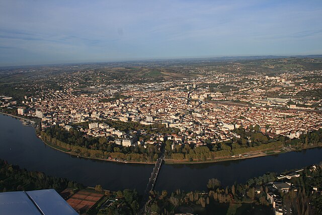
arrondissement of Vichy (arrondissement de Vichy)
- arrondissement of France
- Country:

- Capital: Vichy
- Coordinates: 46° 15' 0" N, 3° 35' 0" E


- GPS tracks (wikiloc): [Link]
- Area: 2016 sq km
- Population: 125908
- Wikipedia en: wiki(en)
- Wikipedia: wiki(fr)
- Wikidata storage: Wikidata: Q702763
- Freebase ID: [/m/095j4b]
- GeoNames ID: Alt: [2969391]
- INSEE arrondissement code: [033]
- GNS Unique Feature ID: -1476099
Includes regions:

canton of Escurolles
- canton of France (until March 2015)
- Country:

- Capital: Escurolles
- Coordinates: 46° 8' 39" N, 3° 15' 58" E


- GPS tracks (wikiloc): [Link]

canton of Jaligny-sur-Besbre
- canton of France (until March 2015)
- Country:

- Capital: Jaligny-sur-Besbre
- Coordinates: 46° 22' 51" N, 3° 35' 34" E


- GPS tracks (wikiloc): [Link]


canton of Lapalisse
- canton of France
- Country:

- Capital: Lapalisse
- Coordinates: 46° 15' 1" N, 3° 38' 17" E


- GPS tracks (wikiloc): [Link]
- Population: 18233

canton of Le Mayet-de-Montagne
- canton of France
- Country:

- Capital: Le Mayet-de-Montagne
- Coordinates: 46° 4' 18" N, 3° 40' 3" E


- GPS tracks (wikiloc): [Link]


canton of Gannat
- canton of France
- Country:

- Capital: Gannat
- Coordinates: 46° 6' 2" N, 3° 11' 57" E


- GPS tracks (wikiloc): [Link]
- Population: 19745

canton of Varennes-sur-Allier
- canton of France (until March 2015)
- Country:

- Capital: Varennes-sur-Allier
- Coordinates: 46° 18' 50" N, 3° 24' 8" E


- GPS tracks (wikiloc): [Link]


