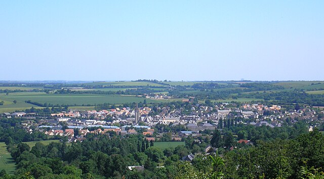
arrondissement of Vire (arrondissement de Vire)

- arrondissement of France
- Country:

- Capital: Vire
- Coordinates: 48° 55' 0" N, 0° 50' 0" E


- GPS tracks (wikiloc): [Link]
- Area: 956 sq km
- Population: 73455
- Wikipedia en: wiki(en)
- Wikipedia: wiki(fr)
- Wikidata storage: Wikidata: Q702799
- Freebase ID: [/m/0955jv]
- GeoNames ID: Alt: [2967970]
- INSEE arrondissement code: [144]
- GNS Unique Feature ID: -1477522
Includes regions:

canton of Saint-Sever-Calvados
- canton of France (until March 2015)
- Country:
- Capital: Saint-Sever-Calvados
- Coordinates: 48° 50' 23" N, 1° 2' 53" E
- GPS tracks (wikiloc): [Link]

canton of Aunay-sur-Odon
- canton of France
- Country:
- Capital: Aunay-sur-Odon
- Coordinates: 49° 0' 58" N, 0° 43' 22" E
- GPS tracks (wikiloc): [Link]
- Population: 25406

canton of Le Bény-Bocage
- canton of France
- Country:
- Capital: Le Bény-Bocage
- Coordinates: 48° 56' 12" N, 0° 50' 21" E
- GPS tracks (wikiloc): [Link]


canton of Vire
- canton of France
- Country:
- Capital: Vire
- Coordinates: 48° 48' 55" N, 0° 51' 20" E
- GPS tracks (wikiloc): [Link]
- Population: 24874


canton of Condé-sur-Noireau
- canton of France
- Country:
- Capital: Condé-sur-Noireau
- Coordinates: 48° 53' 59" N, 0° 36' 24" E
- GPS tracks (wikiloc): [Link]
- Population: 24124