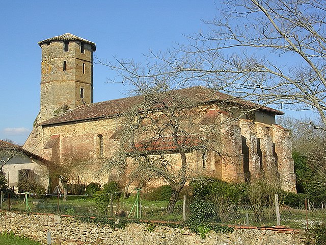
Arthez-d'Armagnac (Arthez-d'Armagnac)

- commune in Landes, France
- Country:

- Postal Code: 40190
- Coordinates: 43° 53' 41" N, 0° 15' 33" E


- GPS tracks (wikiloc): [Link]
- Area: 11.17 sq km
- Population: 111
- Wikipedia en: wiki(en)
- Wikipedia: wiki(fr)
- Wikidata storage: Wikidata: Q858267
- Wikipedia Commons Category: [Link]
- Freebase ID: [/m/03mhgt7]
- GeoNames ID: Alt: [6448823]
- SIREN number: [214000135]
- BnF ID: [152589568]
- INSEE municipality code: 40013
Shares border with regions:
Le Frêche
- commune in Landes, France
- Country:
- Postal Code: 40190
- Coordinates: 43° 55' 58" N, 0° 14' 26" E
- GPS tracks (wikiloc): [Link]
- Area: 23.41 sq km
- Population: 382

Perquie
- commune in Landes, France
- Country:
- Postal Code: 40190
- Coordinates: 43° 52' 39" N, 0° 17' 2" E
- GPS tracks (wikiloc): [Link]
- Area: 26.34 sq km
- Population: 355


Villeneuve-de-Marsan
- commune in Landes, France
- Country:
- Postal Code: 40190
- Coordinates: 43° 53' 35" N, 0° 18' 23" E
- GPS tracks (wikiloc): [Link]
- Area: 23.14 sq km
- Population: 2430
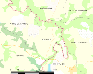
Montégut
- commune in Landes, France
- Country:
- Postal Code: 40190
- Coordinates: 43° 52' 31" N, 0° 11' 56" E
- GPS tracks (wikiloc): [Link]
- Area: 4.82 sq km
- Population: 72
Lannemaignan
- commune in Gers, France
- Country:
- Postal Code: 32240
- Coordinates: 43° 54' 1" N, 0° 12' 2" E
- GPS tracks (wikiloc): [Link]
- Area: 8.58 sq km
- Population: 108