canton of Villeneuve-de-Marsan (canton de Villeneuve-de-Marsan)
- canton of France (until March 2015)
- Country:

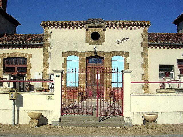
- Capital: Villeneuve-de-Marsan
- Coordinates: 43° 53' 7" N, 0° 16' 45" E


- GPS tracks (wikiloc): [Link]
- Wikidata storage: Wikidata: Q764750
- INSEE canton code: [4028]
Includes regions:
Le Frêche
- commune in Landes, France
- Country:
- Postal Code: 40190
- Coordinates: 43° 55' 58" N, 0° 14' 26" E
- GPS tracks (wikiloc): [Link]
- Area: 23.41 sq km
- Population: 382


Hontanx
- commune in Landes, France
- Country:
- Postal Code: 40190
- Coordinates: 43° 49' 29" N, 0° 16' 26" E
- GPS tracks (wikiloc): [Link]
- Area: 30.48 sq km
- Population: 574


Saint-Gein
- commune in Landes, France
- Country:
- Postal Code: 40190
- Coordinates: 43° 50' 6" N, 0° 18' 4" E
- GPS tracks (wikiloc): [Link]
- Area: 17.85 sq km
- Population: 431

Perquie
- commune in Landes, France
- Country:
- Postal Code: 40190
- Coordinates: 43° 52' 39" N, 0° 17' 2" E
- GPS tracks (wikiloc): [Link]
- Area: 26.34 sq km
- Population: 355

Saint-Cricq-Villeneuve
- commune in Landes, France
- Country:
- Postal Code: 40190
- Coordinates: 43° 53' 27" N, 0° 21' 11" E
- GPS tracks (wikiloc): [Link]
- Area: 15.76 sq km
- Population: 480


Villeneuve-de-Marsan
- commune in Landes, France
- Country:
- Postal Code: 40190
- Coordinates: 43° 53' 35" N, 0° 18' 23" E
- GPS tracks (wikiloc): [Link]
- Area: 23.14 sq km
- Population: 2430
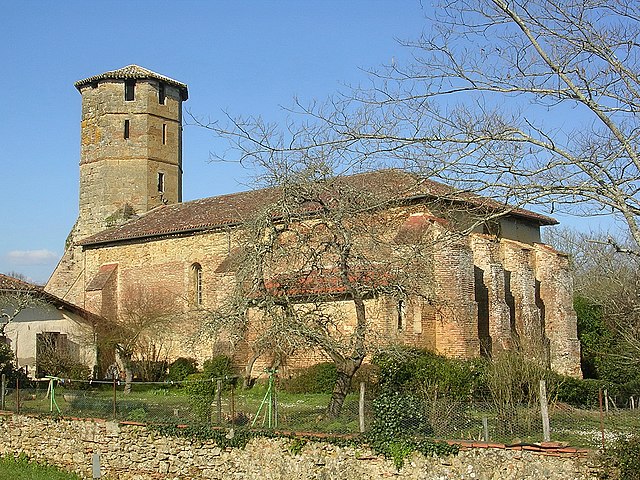
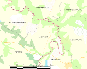
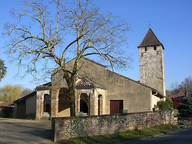
Montégut
- commune in Landes, France
- Country:
- Postal Code: 40190
- Coordinates: 43° 52' 31" N, 0° 11' 56" E
- GPS tracks (wikiloc): [Link]
- Area: 4.82 sq km
- Population: 72

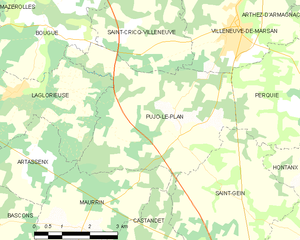
Pujo-le-Plan
- commune in Landes, France
- Country:
- Postal Code: 40190
- Coordinates: 43° 51' 42" N, 0° 19' 55" E
- GPS tracks (wikiloc): [Link]
- Area: 18.51 sq km
- Population: 630
Lacquy
- commune in Landes, France
- Country:
- Postal Code: 40120
- Coordinates: 43° 57' 3" N, 0° 16' 27" E
- GPS tracks (wikiloc): [Link]
- Area: 19.28 sq km
- Population: 275
Sainte-Foy
- commune in Landes, France
- Country:
- Postal Code: 40190
- Coordinates: 43° 56' 14" N, 0° 19' 56" E
- GPS tracks (wikiloc): [Link]
- AboveSeaLevel: 84 м m
- Area: 9.1 sq km
- Population: 273
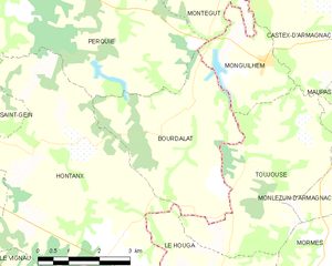
Bourdalat
- commune in Landes, France
- Country:
- Postal Code: 40190
- Coordinates: 43° 50' 22" N, 0° 12' 35" E
- GPS tracks (wikiloc): [Link]
- Area: 14.15 sq km
- Population: 246


Arthez-d'Armagnac
- commune in Landes, France
- Country:
- Postal Code: 40190
- Coordinates: 43° 53' 41" N, 0° 15' 33" E
- GPS tracks (wikiloc): [Link]
- Area: 11.17 sq km
- Population: 111