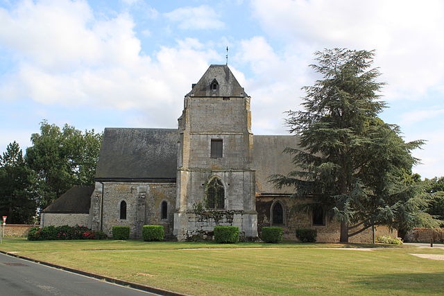
Autheuil-Authouillet (Autheuil-Authouillet)

- commune in Eure, France
- Country:

- Postal Code: 27490
- Coordinates: 49° 5' 48" N, 1° 16' 48" E


- GPS tracks (wikiloc): [Link]
- AboveSeaLevel: 30 м m
- Area: 11.66 sq km
- Population: 958
- Web site: http://www.autheuil-authouillet.fr/
- Wikipedia en: wiki(en)
- Wikipedia: wiki(fr)
- Wikidata storage: Wikidata: Q1010566
- Wikipedia Commons Category: [Link]
- Freebase ID: [/m/02x6bj3]
- Freebase ID: [/m/02x6bj3]
- GeoNames ID: Alt: [6616272]
- GeoNames ID: Alt: [6616272]
- SIREN number: [212700256]
- SIREN number: [212700256]
- BnF ID: [15253267s]
- BnF ID: [15253267s]
- INSEE municipality code: 27025
- INSEE municipality code: 27025
Shares border with regions:


Fontaine-sous-Jouy
- commune in Eure, France
- Country:
- Postal Code: 27120
- Coordinates: 49° 4' 1" N, 1° 17' 31" E
- GPS tracks (wikiloc): [Link]
- Area: 7.33 sq km
- Population: 877


Champenard
- commune in Eure, France
- Country:
- Postal Code: 27600
- Coordinates: 49° 6' 23" N, 1° 20' 1" E
- GPS tracks (wikiloc): [Link]
- Area: 2.32 sq km
- Population: 253


Chambray
- commune in Eure, France
- Country:
- Postal Code: 27120
- Coordinates: 49° 4' 30" N, 1° 18' 21" E
- GPS tracks (wikiloc): [Link]
- Area: 8.42 sq km
- Population: 432

Écardenville-sur-Eure
- former commune in Eure, France
- Country:
- Postal Code: 27490
- Coordinates: 49° 6' 6" N, 1° 15' 50" E
- GPS tracks (wikiloc): [Link]
- Area: 6.67 sq km
- Population: 573
- Web site: [Link]