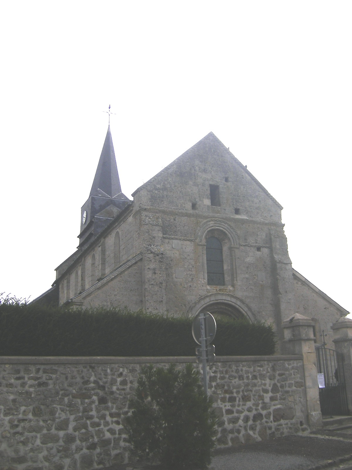
Ayencourt (Ayencourt)

- commune in Somme, France
- Country:

- Postal Code: 80500
- Coordinates: 49° 37' 32" N, 2° 33' 18" E


- GPS tracks (wikiloc): [Link]
- Area: 4.67 sq km
- Population: 183
- Wikipedia en: wiki(en)
- Wikipedia: wiki(fr)
- Wikidata storage: Wikidata: Q45695
- Wikipedia Commons Category: [Link]
- Freebase ID: [/m/03hgszx]
- GeoNames ID: Alt: [6451294]
- SIREN number: [218000479]
- BnF ID: [152765354]
- INSEE municipality code: 80049
Shares border with regions:
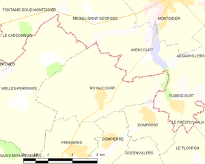
Royaucourt
- commune in Oise, France
- Country:
- Postal Code: 60420
- Coordinates: 49° 36' 34" N, 2° 31' 45" E
- GPS tracks (wikiloc): [Link]
- Area: 9.45 sq km
- Population: 204


Mesnil-Saint-Georges
- commune in Somme, France
- Country:
- Postal Code: 80500
- Coordinates: 49° 38' 21" N, 2° 31' 27" E
- GPS tracks (wikiloc): [Link]
- Area: 6.04 sq km
- Population: 181

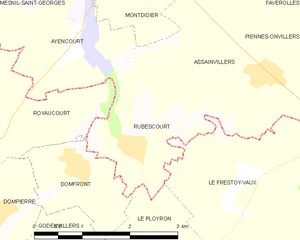
Rubescourt
- commune in Somme, France
- Country:
- Postal Code: 80500
- Coordinates: 49° 36' 23" N, 2° 34' 18" E
- GPS tracks (wikiloc): [Link]
- Area: 3.97 sq km
- Population: 136


Montdidier
- commune in Somme, France
- Country:
- Postal Code: 80500
- Coordinates: 49° 38' 53" N, 2° 34' 12" E
- GPS tracks (wikiloc): [Link]
- AboveSeaLevel: 97 м m
- Area: 12.58 sq km
- Population: 6201
- Web site: [Link]