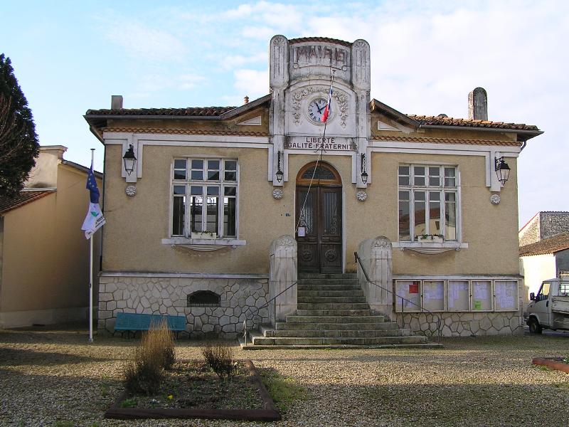
Bazauges (Bazauges)

- commune in Charente-Maritime, France
- Country:

- Postal Code: 17490
- Coordinates: 45° 55' 11" N, 0° 10' 25" E


- GPS tracks (wikiloc): [Link]
- Area: 8.28 sq km
- Population: 124
- Wikipedia en: wiki(en)
- Wikipedia: wiki(fr)
- Wikidata storage: Wikidata: Q735598
- Wikipedia Commons Category: [Link]
- Freebase ID: [/m/03mcfyt]
- GeoNames ID: Alt: [3034457]
- SIREN number: [211700356]
- BnF ID: [15248897c]
- INSEE municipality code: 17035
Shares border with regions:
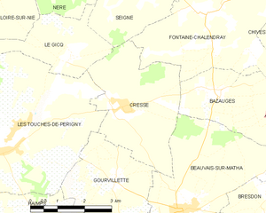
Cressé
- commune in Charente-Maritime, France
- Country:
- Postal Code: 17160
- Coordinates: 45° 54' 55" N, 0° 13' 8" E
- GPS tracks (wikiloc): [Link]
- Area: 10.96 sq km
- Population: 239

Beauvais-sur-Matha
- commune in Charente-Maritime, France
- Country:
- Postal Code: 17490
- Coordinates: 45° 52' 53" N, 0° 11' 20" E
- GPS tracks (wikiloc): [Link]
- Area: 12.48 sq km
- Population: 637

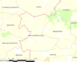
Ranville-Breuillaud
- commune in Charente, France
- Country:
- Postal Code: 16140
- Coordinates: 45° 54' 8" N, 0° 7' 3" E
- GPS tracks (wikiloc): [Link]
- Area: 12.84 sq km
- Population: 186
- Web site: [Link]


Fontaine-Chalendray
- commune in Charente-Maritime, France
- Country:
- Postal Code: 17510
- Coordinates: 45° 56' 52" N, 0° 10' 56" E
- GPS tracks (wikiloc): [Link]
- Area: 18.86 sq km
- Population: 210