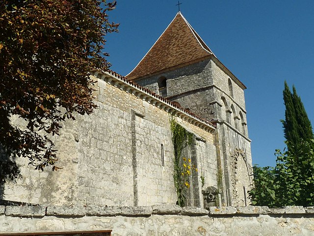
Beaussac (Beaussac)

- former commune in Dordogne, France
- Country:

- Postal Code: 24340
- Coordinates: 45° 29' 40" N, 0° 29' 56" E


- GPS tracks (wikiloc): [Link]
- Area: 18.05 sq km
- Population: 170
- Web site: http://www.conseil-general.com/en/town-hall/town-hall-beaussac-24340.htm
- Wikipedia en: wiki(en)
- Wikipedia: wiki(fr)
- Wikidata storage: Wikidata: Q626895
- Wikipedia Commons Category: [Link]
- Freebase ID: [/m/03mfglk]
- Freebase ID: [/m/03mfglk]
- GeoNames ID: Alt: [3034035]
- GeoNames ID: Alt: [3034035]
- BnF ID: [152516840]
- BnF ID: [152516840]
- PACTOLS thesaurus ID: [pcrtLS7ujswvHS]
- PACTOLS thesaurus ID: [pcrtLS7ujswvHS]
- INSEE municipality code: 24033
- INSEE municipality code: 24033
Shares border with regions:


Charras
- commune in Charente, France
- Country:
- Postal Code: 16380
- Coordinates: 45° 32' 33" N, 0° 24' 58" E
- GPS tracks (wikiloc): [Link]
- Area: 15.12 sq km
- Population: 356

Les Graulges
- former commune in Dordogne, France
- Country:
- Postal Code: 24340
- Coordinates: 45° 29' 43" N, 0° 26' 31" E
- GPS tracks (wikiloc): [Link]
- Area: 4.13 sq km
- Population: 60
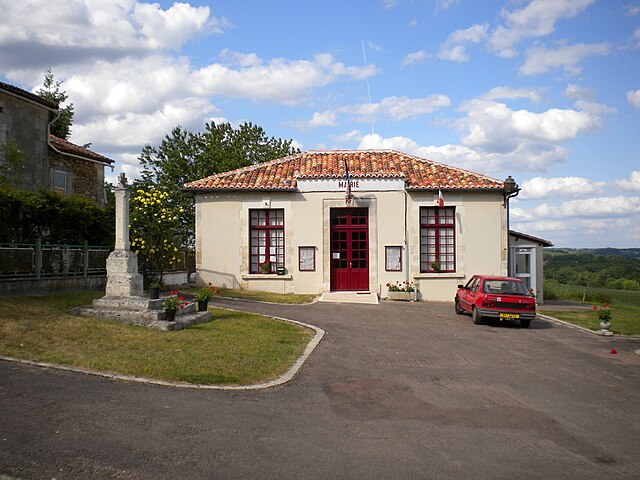
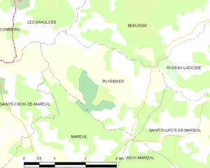
Puyrenier
- former commune in Dordogne, France
- Country:
- Postal Code: 24340
- Coordinates: 45° 28' 45" N, 0° 28' 27" E
- GPS tracks (wikiloc): [Link]
- Area: 7.42 sq km
- Population: 59


Combiers
- commune in Charente, France
- Country:
- Postal Code: 16320
- Coordinates: 45° 29' 32" N, 0° 24' 53" E
- GPS tracks (wikiloc): [Link]
- Area: 23.96 sq km
- Population: 125
- Web site: [Link]
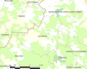
Hautefaye
- commune in Dordogne, France
- Country:
- Postal Code: 24300
- Coordinates: 45° 32' 13" N, 0° 29' 36" E
- GPS tracks (wikiloc): [Link]
- Area: 12.47 sq km
- Population: 130


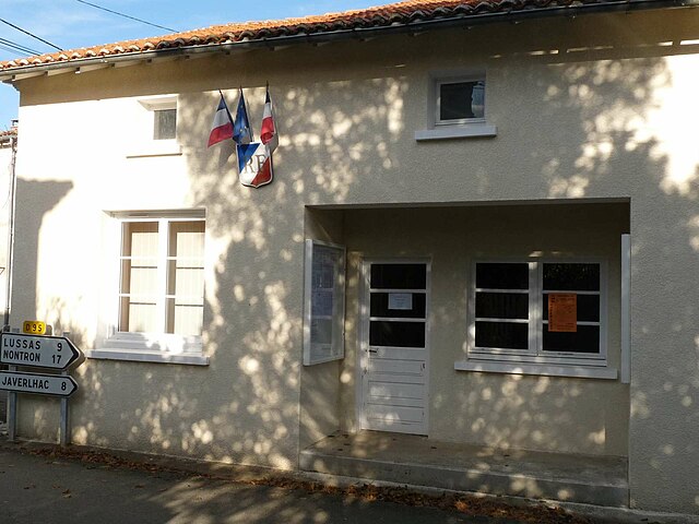
Connezac
- commune in Dordogne, France
- Country:
- Postal Code: 24300
- Coordinates: 45° 30' 45" N, 0° 31' 45" E
- GPS tracks (wikiloc): [Link]
- Area: 5.78 sq km
- Population: 78
- Web site: [Link]


Mainzac
- commune in Charente, France
- Country:
- Postal Code: 16380
- Coordinates: 45° 33' 7" N, 0° 29' 8" E
- GPS tracks (wikiloc): [Link]
- Area: 11.29 sq km
- Population: 98
- Web site: [Link]

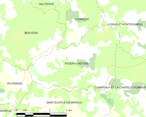
Rudeau-Ladosse
- commune in Dordogne, France
- Country:
- Postal Code: 24340
- Coordinates: 45° 28' 49" N, 0° 33' 0" E
- GPS tracks (wikiloc): [Link]
- Area: 13.74 sq km
- Population: 161