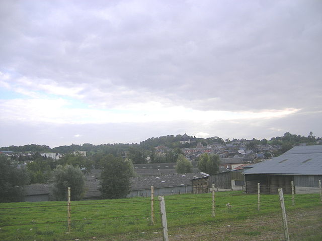
Berlise (Berlise)
- commune in Aisne, France
- Country:

- Postal Code: 02340
- Coordinates: 49° 39' 50" N, 4° 6' 26" E


- GPS tracks (wikiloc): [Link]
- Area: 6.59 sq km
- Population: 118
- Wikipedia en: wiki(en)
- Wikipedia: wiki(fr)
- Wikidata storage: Wikidata: Q851514
- Wikipedia Commons Category: [Link]
- Freebase ID: [/m/03m5gy0]
- Freebase ID: [/m/03m5gy0]
- GeoNames ID: Alt: [6446478]
- GeoNames ID: Alt: [6446478]
- SIREN number: [210200689]
- SIREN number: [210200689]
- INSEE municipality code: 02069
- INSEE municipality code: 02069
Shares border with regions:

Renneville
- commune in Ardennes, France
- Country:
- Postal Code: 08220
- Coordinates: 49° 39' 29" N, 4° 7' 47" E
- GPS tracks (wikiloc): [Link]
- Area: 9.85 sq km
- Population: 213
- Web site: [Link]
Rozoy-sur-Serre
- commune in Aisne, France
- Country:
- Postal Code: 02360
- Coordinates: 49° 42' 32" N, 4° 7' 42" E
- GPS tracks (wikiloc): [Link]
- Area: 16.53 sq km
- Population: 1008

Le Thuel
- commune in Aisne, France
- Country:
- Postal Code: 02340
- Coordinates: 49° 38' 58" N, 4° 4' 37" E
- GPS tracks (wikiloc): [Link]
- Area: 7.06 sq km
- Population: 181
Noircourt
- commune in Aisne, France
- Country:
- Postal Code: 02340
- Coordinates: 49° 40' 5" N, 4° 5' 32" E
- GPS tracks (wikiloc): [Link]
- Area: 5.45 sq km
- Population: 83