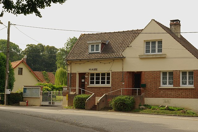
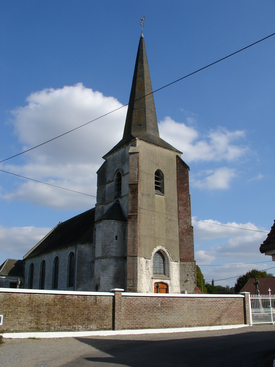
Bermicourt (Bermicourt)

- commune in Pas-de-Calais, France
- Country:

- Postal Code: 62130
- Coordinates: 50° 24' 33" N, 2° 13' 47" E


- GPS tracks (wikiloc): [Link]
- Area: 5.53 sq km
- Population: 158
- Wikipedia en: wiki(en)
- Wikipedia: wiki(fr)
- Wikidata storage: Wikidata: Q426940
- Wikipedia Commons Category: [Link]
- Freebase ID: [/m/02x833f]
- GeoNames ID: Alt: [6439354]
- SIREN number: [216201145]
- BnF ID: [15268556c]
- INSEE municipality code: 62114
Shares border with regions:


Pierremont
- commune in Pas-de-Calais, France
- Country:
- Postal Code: 62130
- Coordinates: 50° 24' 4" N, 2° 15' 39" E
- GPS tracks (wikiloc): [Link]
- Area: 6.14 sq km
- Population: 274

Humières
- commune in Pas-de-Calais, France
- Country:
- Postal Code: 62130
- Coordinates: 50° 23' 18" N, 2° 12' 26" E
- GPS tracks (wikiloc): [Link]
- Area: 6.81 sq km
- Population: 231

Humerœuille
- commune in Pas-de-Calais, France
- Country:
- Postal Code: 62130
- Coordinates: 50° 24' 16" N, 2° 12' 48" E
- GPS tracks (wikiloc): [Link]
- Area: 3.23 sq km
- Population: 165


Fleury
- commune in Pas-de-Calais, France
- Country:
- Postal Code: 62134
- Coordinates: 50° 25' 19" N, 2° 15' 18" E
- GPS tracks (wikiloc): [Link]
- Area: 2.75 sq km
- Population: 124

Érin
- commune in Pas-de-Calais, France
- Country:
- Postal Code: 62134
- Coordinates: 50° 26' 21" N, 2° 12' 35" E
- GPS tracks (wikiloc): [Link]
- Area: 6.36 sq km
- Population: 218