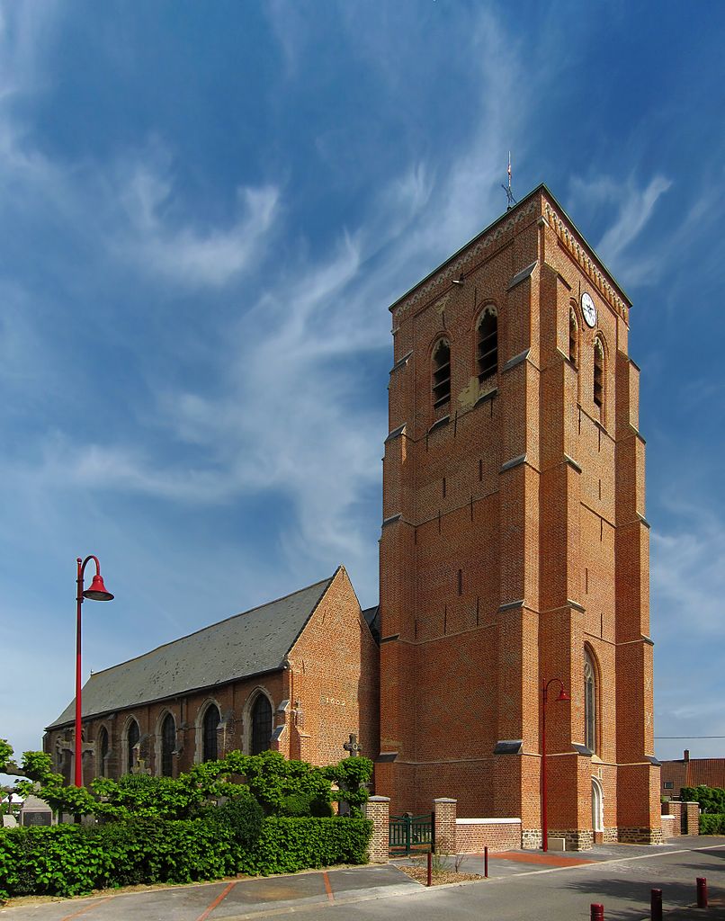
Bollezeele (Bollezeele)

- commune in Nord, France
- Country:

- Postal Code: 59470
- Coordinates: 50° 51' 57" N, 2° 19' 35" E


- GPS tracks (wikiloc): [Link]
- Area: 17.54 sq km
- Population: 1443
- Web site: http://www.bollezeele.fr/
- Wikipedia en: wiki(en)
- Wikipedia: wiki(fr)
- Wikidata storage: Wikidata: Q1046977
- Wikipedia Commons Category: [Link]
- Freebase ID: [/m/03h29ns]
- GeoNames ID: Alt: [3031865]
- SIREN number: [215900895]
- BnF ID: [152666654]
- VIAF ID: Alt: [153799240]
- Library of Congress authority ID: Alt: [n2001155697]
- PACTOLS thesaurus ID: [pcrtES9U3rmDdM]
- WOEID: [580556]
- INSEE municipality code: 59089
Shares border with regions:


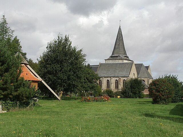
Zegerscappel
- commune in Nord, France
- Country:
- Postal Code: 59470
- Coordinates: 50° 53' 16" N, 2° 23' 10" E
- GPS tracks (wikiloc): [Link]
- Area: 17.4 sq km
- Population: 1543
- Web site: [Link]

Arnèke
- commune in Nord, France
- Country:
- Postal Code: 59285
- Coordinates: 50° 49' 57" N, 2° 24' 38" E
- GPS tracks (wikiloc): [Link]
- Area: 13.41 sq km
- Population: 1620
- Web site: [Link]

Volckerinckhove
- commune in Nord, France
- Country:
- Postal Code: 59470
- Coordinates: 50° 50' 19" N, 2° 18' 20" E
- GPS tracks (wikiloc): [Link]
- Area: 9.88 sq km
- Population: 586
- Web site: [Link]


Merckeghem
- commune in Nord, France
- Country:
- Postal Code: 59470
- Coordinates: 50° 51' 41" N, 2° 17' 45" E
- GPS tracks (wikiloc): [Link]
- Area: 10.73 sq km
- Population: 584


Eringhem
- commune in Nord, France
- Country:
- Postal Code: 59470
- Coordinates: 50° 53' 47" N, 2° 20' 36" E
- GPS tracks (wikiloc): [Link]
- Area: 11.53 sq km
- Population: 474


Rubrouck
- commune in Nord, France
- Country:
- Postal Code: 59285
- Coordinates: 50° 50' 19" N, 2° 21' 20" E
- GPS tracks (wikiloc): [Link]
- Area: 14.88 sq km
- Population: 950
- Web site: [Link]