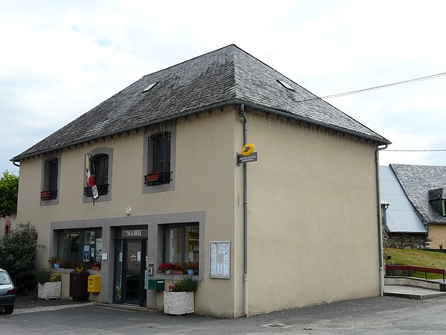
Bort-les-Orgues (Bort-les-Orgues)

- commune in Corrèze, France
- Country:

- Postal Code: 19110
- Coordinates: 45° 23' 59" N, 2° 29' 45" E


- GPS tracks (wikiloc): [Link]
- Area: 15.07 sq km
- Population: 2745
- Web site: http://www.bort-les-orgues.com
- Wikipedia en: wiki(en)
- Wikipedia: wiki(fr)
- Wikidata storage: Wikidata: Q203182
- Wikipedia Commons Category: [Link]
- Freebase ID: [/m/02sbyz]
- GeoNames ID: Alt: [3031501]
- SIREN number: [211902804]
- BnF ID: [152496643]
- VIAF ID: Alt: [249034068]
- GND ID: Alt: [4209473-2]
- MusicBrainz area ID: [a0d8c50d-7818-4237-8773-c74c0da681a0]
- WOEID: [580833]
- Quora topic ID: [Bort-les-Orgues]
- INSEE municipality code: 19028
Shares border with regions:


Madic
- commune in Cantal, France
- Country:
- Postal Code: 15210
- Coordinates: 45° 22' 44" N, 2° 27' 27" E
- GPS tracks (wikiloc): [Link]
- Area: 6.63 sq km
- Population: 208
- Web site: [Link]

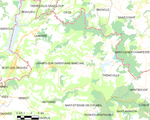
Champs-sur-Tarentaine-Marchal
- commune in Cantal, France
- Country:
- Postal Code: 15270
- Coordinates: 45° 23' 45" N, 2° 33' 39" E
- GPS tracks (wikiloc): [Link]
- AboveSeaLevel: 450 м m
- Area: 60.32 sq km
- Population: 1059

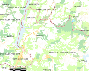
Lanobre
- commune in Cantal, France
- Country:
- Postal Code: 15270
- Coordinates: 45° 26' 19" N, 2° 32' 4" E
- GPS tracks (wikiloc): [Link]
- Area: 40.99 sq km
- Population: 1432
- Web site: [Link]

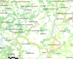
Saint-Julien-près-Bort
- former commune in Corrèze, France
- Country:
- Postal Code: 19110
- Coordinates: 45° 24' 57" N, 2° 24' 8" E
- GPS tracks (wikiloc): [Link]
- Area: 30.63 sq km
- Population: 404

Vebret
- commune in Cantal, France
- Country:
- Postal Code: 15240
- Coordinates: 45° 20' 22" N, 2° 31' 11" E
- GPS tracks (wikiloc): [Link]
- Area: 24.43 sq km
- Population: 507
- Web site: [Link]

Sarroux
- former commune in Corrèze, France
- Country:
- Postal Code: 19110
- Coordinates: 45° 24' 51" N, 2° 25' 48" E
- GPS tracks (wikiloc): [Link]
- Area: 23.76 sq km
- Population: 432
- Web site: [Link]