Bosrobert (Bosrobert)

- commune in Eure, France
- Country:

- Postal Code: 27800
- Coordinates: 49° 13' 30" N, 0° 45' 15" E


- GPS tracks (wikiloc): [Link]
- Area: 9.21 sq km
- Population: 649
- Web site: http://www.bosrobert.fr/
- Wikipedia en: wiki(en)
- Wikipedia: wiki(fr)
- Wikidata storage: Wikidata: Q473597
- Wikipedia Commons Category: [Link]
- Freebase ID: [/m/03mhqn7]
- Freebase ID: [/m/03mhqn7]
- GeoNames ID: Alt: [6447982]
- GeoNames ID: Alt: [6447982]
- SIREN number: [212700959]
- SIREN number: [212700959]
- BnF ID: [152533343]
- BnF ID: [152533343]
- PACTOLS thesaurus ID: [pcrtSL4mlWvH1D]
- PACTOLS thesaurus ID: [pcrtSL4mlWvH1D]
- INSEE municipality code: 27095
- INSEE municipality code: 27095
Shares border with regions:


Calleville
- commune in Eure, France
- Country:
- Postal Code: 27800
- Coordinates: 49° 11' 31" N, 0° 45' 27" E
- GPS tracks (wikiloc): [Link]
- Area: 8.57 sq km
- Population: 664
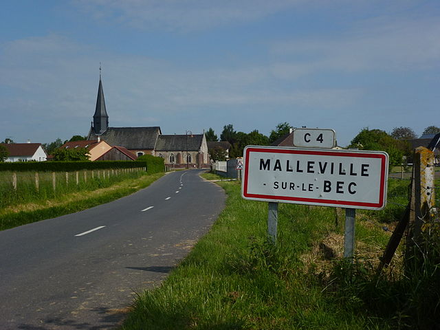

Malleville-sur-le-Bec
- commune in Eure, France
- Country:
- Postal Code: 27800
- Coordinates: 49° 14' 10" N, 0° 44' 46" E
- GPS tracks (wikiloc): [Link]
- Area: 6.98 sq km
- Population: 257

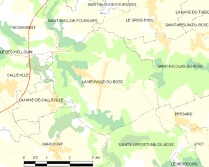
La Neuville-du-Bosc
- commune in Eure, France
- Country:
- Postal Code: 27890
- Coordinates: 49° 11' 35" N, 0° 48' 46" E
- GPS tracks (wikiloc): [Link]
- Area: 14.45 sq km
- Population: 644


Le Bec-Hellouin
- commune in Eure, France
- Country:
- Postal Code: 27800
- Coordinates: 49° 13' 54" N, 0° 43' 15" E
- GPS tracks (wikiloc): [Link]
- Area: 9.55 sq km
- Population: 413
- Web site: [Link]