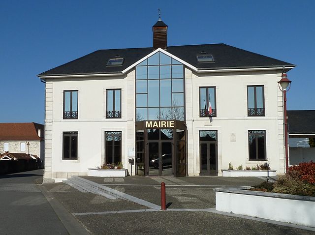
Bougarber (Bougarber)

- commune in Pyrénées-Atlantiques, France
- Country:

- Postal Code: 64230
- Coordinates: 43° 23' 50" N, 0° 28' 20" E


- GPS tracks (wikiloc): [Link]
- Area: 10.29 sq km
- Population: 878
- Web site: http://www.bougarber.fr/
- Wikipedia en: wiki(en)
- Wikipedia: wiki(fr)
- Wikidata storage: Wikidata: Q174383
- Wikipedia Commons Category: [Link]
- Freebase ID: [/m/03qlwxp]
- Freebase ID: [/m/03qlwxp]
- GeoNames ID: Alt: [3031288]
- GeoNames ID: Alt: [3031288]
- SIREN number: [216401422]
- SIREN number: [216401422]
- BnF ID: [15269965p]
- BnF ID: [15269965p]
- INSEE municipality code: 64142
- INSEE municipality code: 64142
Shares border with regions:

Denguin
- commune in Pyrénées-Atlantiques, France
- Country:
- Postal Code: 64230
- Coordinates: 43° 21' 45" N, 0° 30' 29" E
- GPS tracks (wikiloc): [Link]
- Area: 12.29 sq km
- Population: 1735
Beyrie-en-Béarn
- commune in Pyrénées-Atlantiques, France
- Country:
- Postal Code: 64230
- Coordinates: 43° 22' 21" N, 0° 28' 17" E
- GPS tracks (wikiloc): [Link]
- Area: 2.72 sq km
- Population: 198
- Web site: [Link]


Viellenave-d'Arthez
- commune in Pyrénées-Atlantiques, France
- Country:
- Postal Code: 64170
- Coordinates: 43° 24' 34" N, 0° 28' 52" E
- GPS tracks (wikiloc): [Link]
- Area: 3.92 sq km
- Population: 186


Uzein
- commune in Pyrénées-Atlantiques, France
- Country:
- Postal Code: 64230
- Coordinates: 43° 23' 57" N, 0° 25' 57" E
- GPS tracks (wikiloc): [Link]
- Area: 16.19 sq km
- Population: 1251


Cescau
- commune in Pyrénées-Atlantiques, France
- Country:
- Postal Code: 64170
- Coordinates: 43° 24' 38" N, 0° 30' 1" E
- GPS tracks (wikiloc): [Link]
- Area: 7.98 sq km
- Population: 574
- Web site: [Link]


Poey-de-Lescar
- commune in Pyrénées-Atlantiques, France
- Country:
- Postal Code: 64230
- Coordinates: 43° 21' 2" N, 0° 28' 10" E
- GPS tracks (wikiloc): [Link]
- Area: 6.74 sq km
- Population: 1599