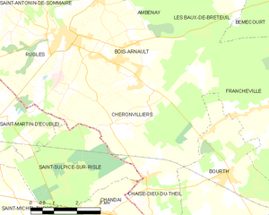
Bourth (Bourth)

- commune in Eure, France
- Country:

- Postal Code: 27580
- Coordinates: 48° 46' 12" N, 0° 48' 27" E


- GPS tracks (wikiloc): [Link]
- Area: 18.63 sq km
- Population: 1275
- Web site: http://www.bourth.fr/
- Wikipedia en: wiki(en)
- Wikipedia: wiki(fr)
- Wikidata storage: Wikidata: Q638651
- Wikipedia Commons Category: [Link]
- Freebase ID: [/m/02x6bdb]
- Freebase ID: [/m/02x6bdb]
- GeoNames ID: Alt: [6430285]
- GeoNames ID: Alt: [6430285]
- SIREN number: [212701080]
- SIREN number: [212701080]
- BnF ID: [15253347f]
- BnF ID: [15253347f]
- VIAF ID: Alt: [237048748]
- VIAF ID: Alt: [237048748]
- PACTOLS thesaurus ID: [pcrtDLUD4USrBS]
- PACTOLS thesaurus ID: [pcrtDLUD4USrBS]
- INSEE municipality code: 27108
- INSEE municipality code: 27108
Shares border with regions:


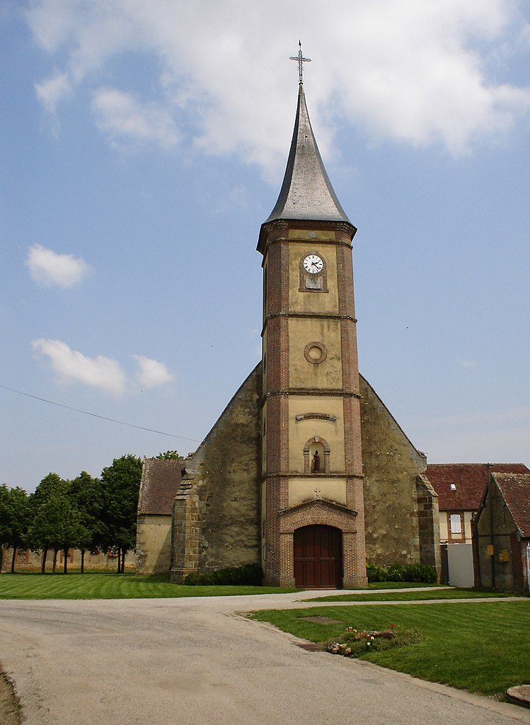
Francheville
- former commune in Eure, France
- Country:
- Postal Code: 27160
- Coordinates: 48° 47' 16" N, 0° 51' 0" E
- GPS tracks (wikiloc): [Link]
- Area: 24.03 sq km
- Population: 1277

Chéronvilliers
- commune in Eure, France
- Country:
- Postal Code: 27250
- Coordinates: 48° 47' 22" N, 0° 44' 26" E
- GPS tracks (wikiloc): [Link]
- Area: 21.51 sq km
- Population: 520


Chaise-Dieu-du-Theil
- commune in Eure, France
- Country:
- Postal Code: 27580
- Coordinates: 48° 46' 5" N, 0° 45' 40" E
- GPS tracks (wikiloc): [Link]
- Area: 5.93 sq km
- Population: 238
- Web site: [Link]
Mandres
- commune in Eure, France
- Country:
- Postal Code: 27130
- Coordinates: 48° 45' 11" N, 0° 52' 4" E
- GPS tracks (wikiloc): [Link]
- Area: 11.79 sq km
- Population: 366


Les Barils
- commune in Eure, France
- Country:
- Postal Code: 27130
- Coordinates: 48° 43' 54" N, 0° 49' 10" E
- GPS tracks (wikiloc): [Link]
- Area: 9.53 sq km
- Population: 244
- Web site: [Link]

Gournay-le-Guérin
- commune in Eure, France
- Country:
- Postal Code: 27580
- Coordinates: 48° 42' 26" N, 0° 46' 29" E
- GPS tracks (wikiloc): [Link]
- AboveSeaLevel: 210 м m
- Area: 12.27 sq km
- Population: 134